 Deutsch
2014 Patagonia (1/3): 350 km in Central Patagonia |
|
| Places | Patagonia, Argentina. Sierra de las Vacas, Perito Moreno National Park, Monte San Lorenzo |
| Time & length | January/February 2014, 3 weeks |
| Partners | Alan Majsik |
|
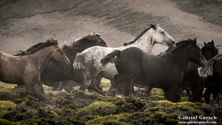
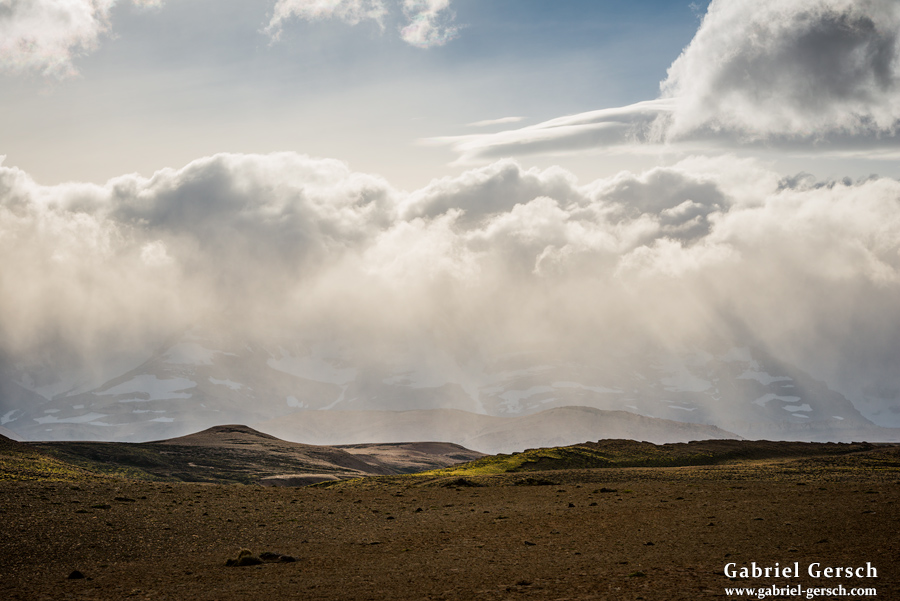
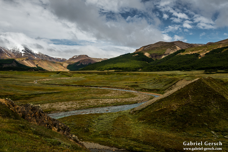
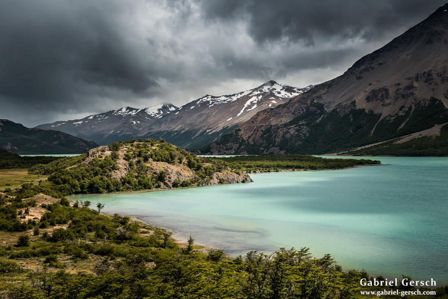
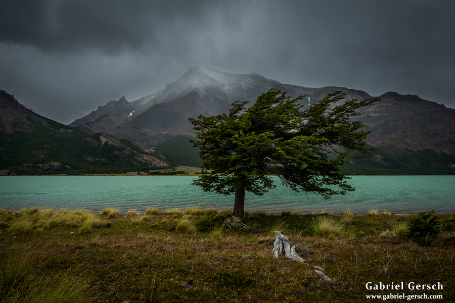
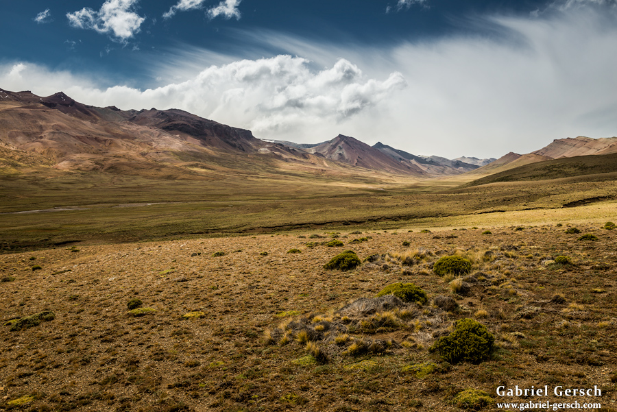
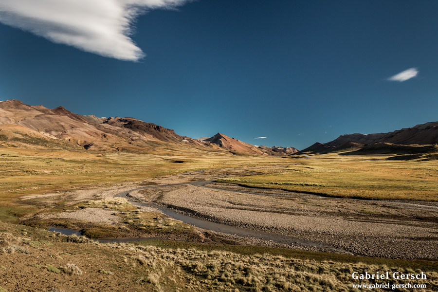
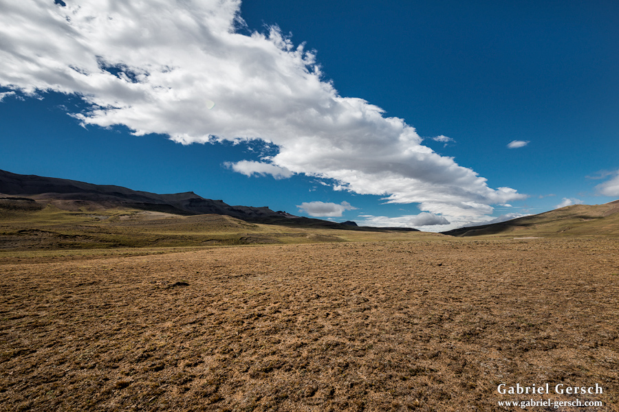
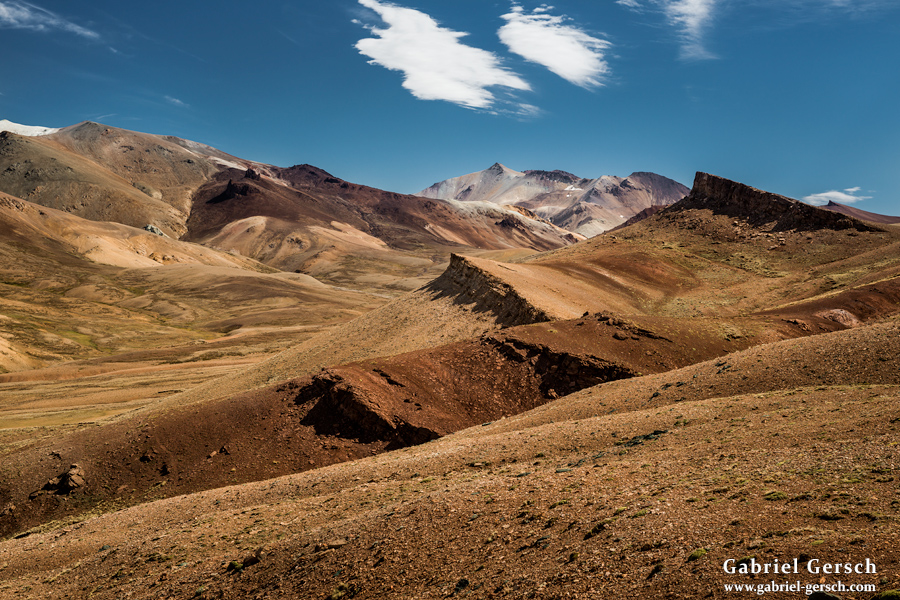
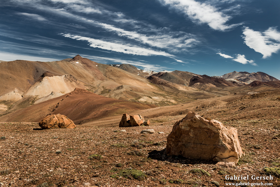
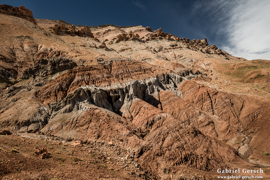
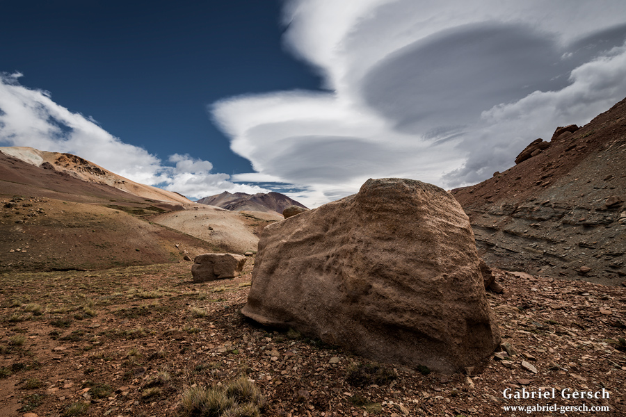
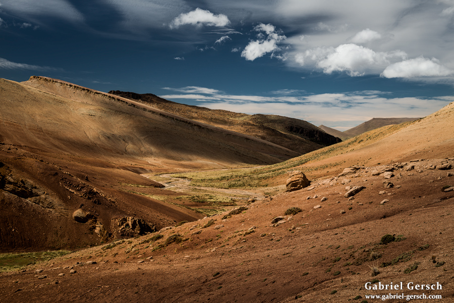
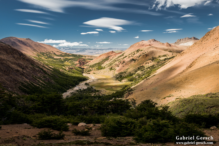
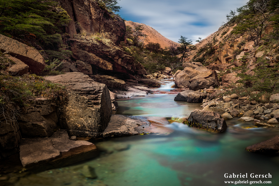
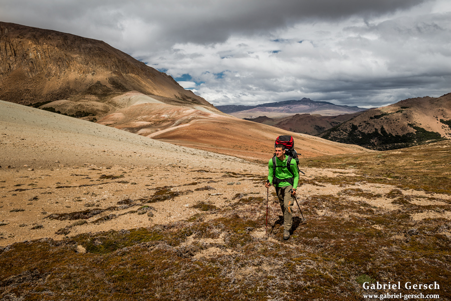
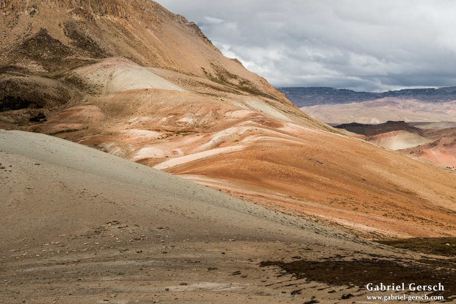
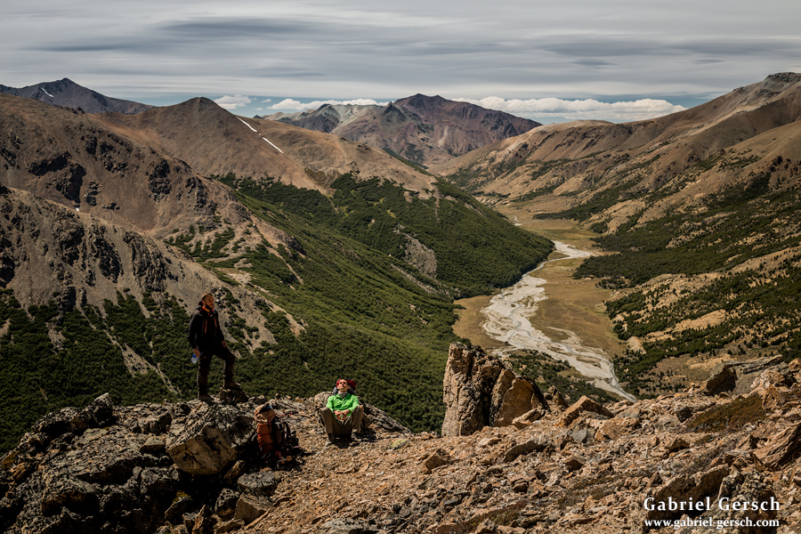
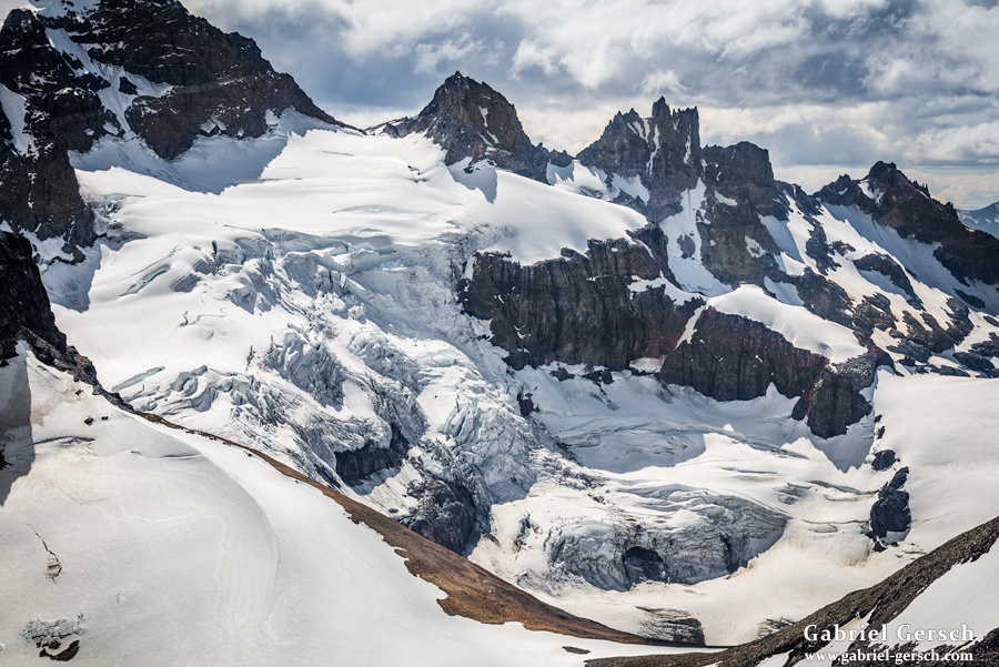
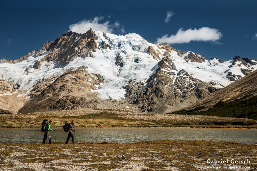
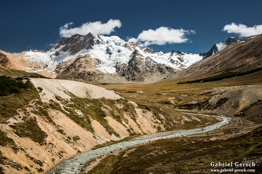
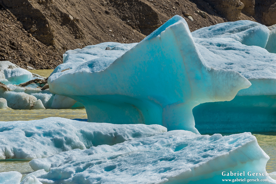
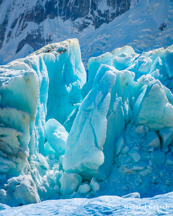
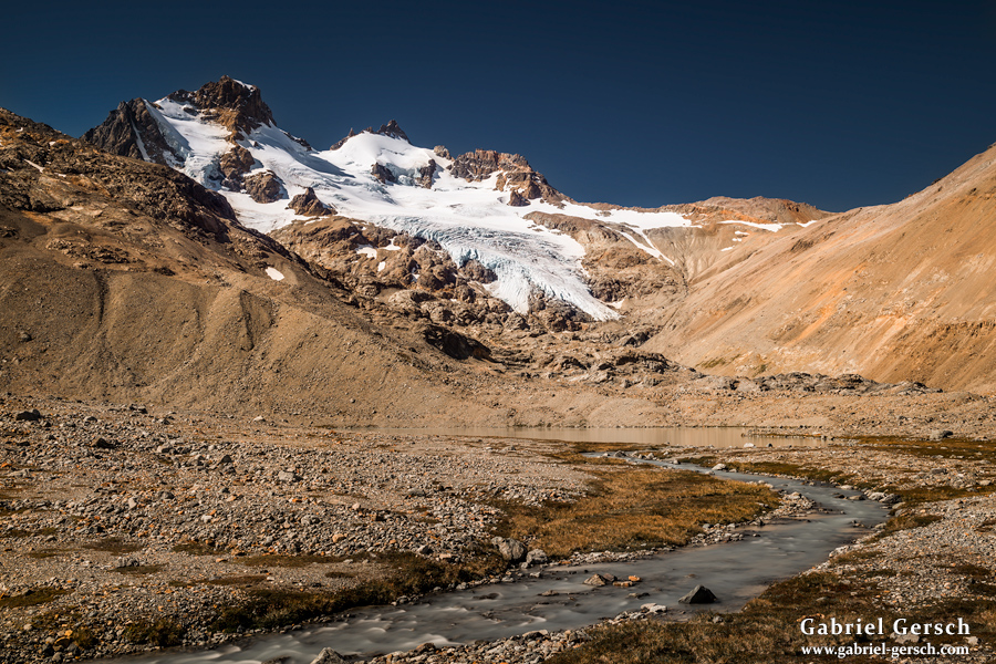
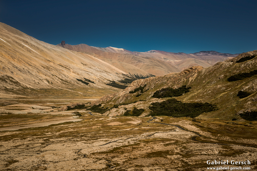
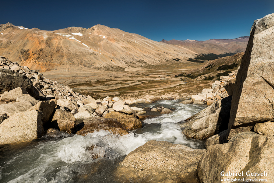
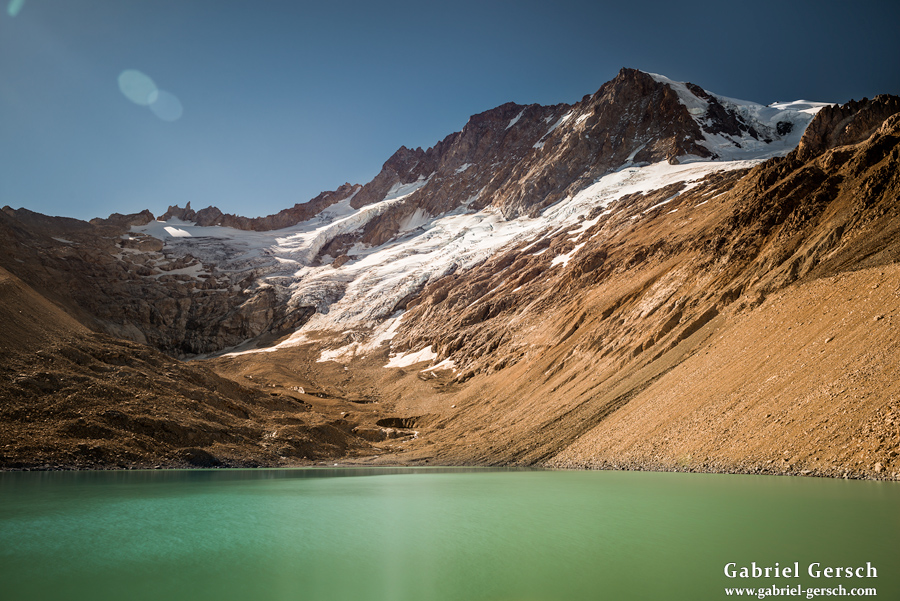
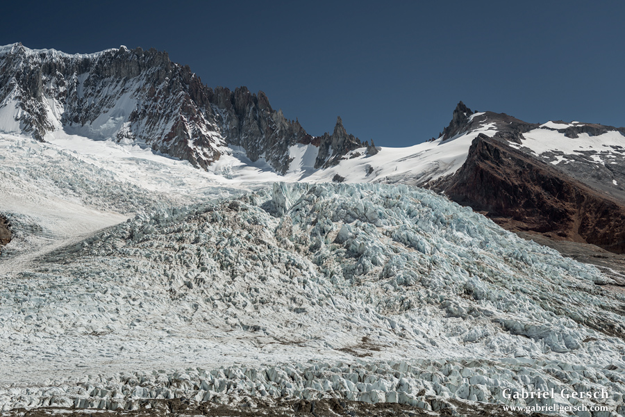
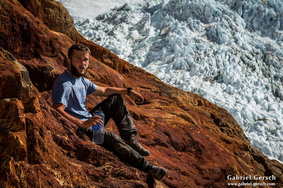
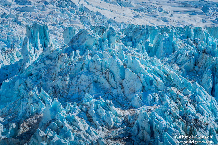
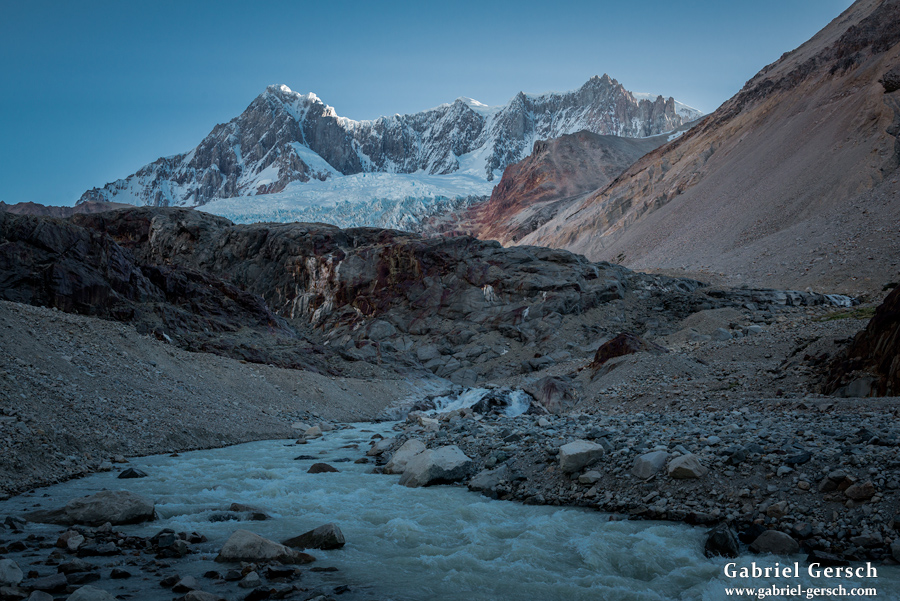
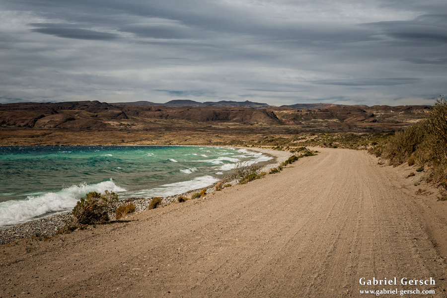
Patagonia is known for its magnificent glaciers, huge ice fields, crystal clear lakes and some nasty weather. On this hike, my partner Alan and I successfully completed a 3-week wilderness trip in Southern Argentina that lead us through remote places and the trail-less terrain of the mountains between Route 81 and Lago Pueyrredón, close to the border to Chile.
|
|
Don’t miss the video! 😉
Prologue
Originally, I had planned to go back to Africa this winter after my stunning Karamoja experience from last year. But the places I was really interested in (such as South Sudan and the Central African Republic) really do seem to be way too dangerous right now. So I decided to fly down to Patagonia and visit South America for my first time. I have always been skeptical towards this area: in terms of landscape I knew it would make for some high-quality hiking. But it also sees thousands of tourists every year; the pictures of Mt. Fitz Roy and Torres del Paine have been published way too often, I thought. Nevertheless, I looked into the geography of Patagonia some more and quickly found out that almost all other tourists only visit a few well-known and highly developed national parks – and that I could easily be on my own if I just picked the right places.
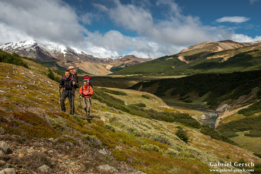
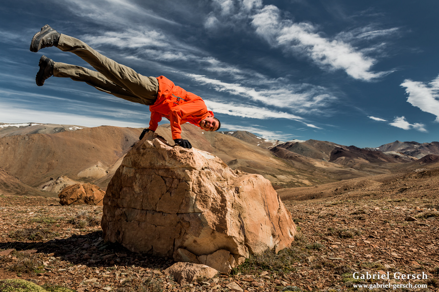
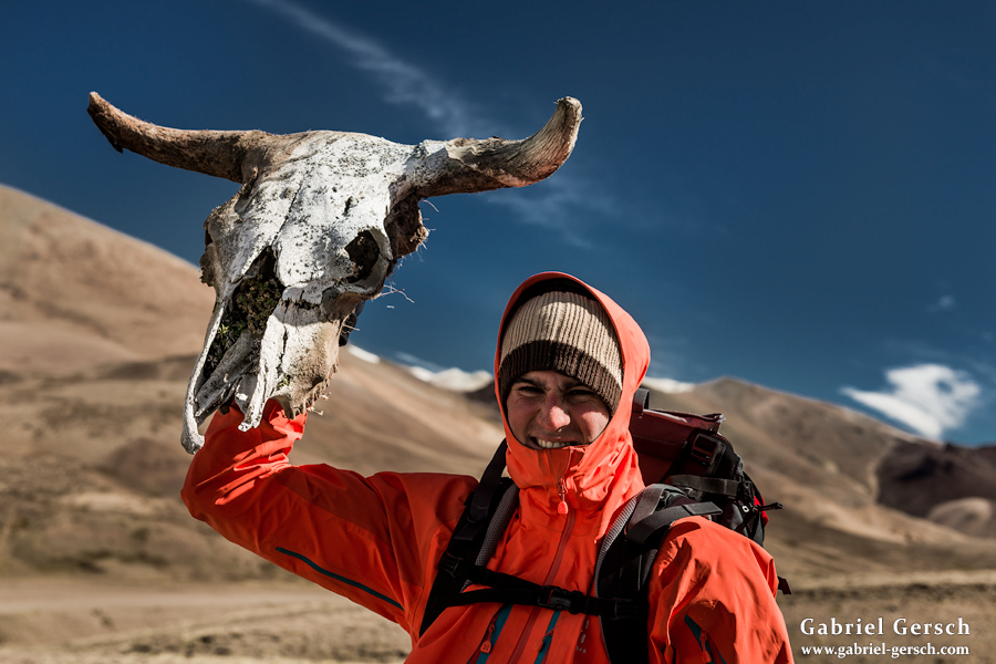
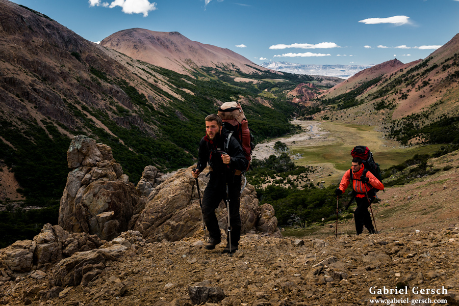
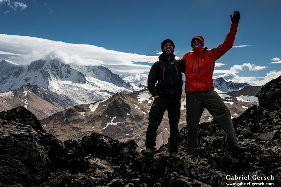
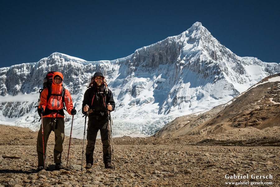
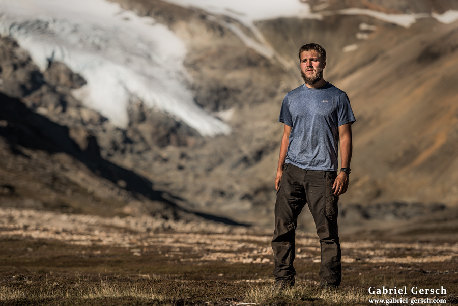
So I booked my flights: January 24 to March 17 was the time frame for my upcoming journey. Shortly after, I was introduced to a sports student from Vienna who had heard about my plans and had great interest in coming along. His name is Alan. We met and talked about our ideas and goals and I quickly figured that the two of us would make a great team – Alan is a very ambitious and motivated man, physically fit and with just the right mindset to accomplish challenging hikes like this one. He is five years younger than me and although he hasn’t done much wilderness hiking in his life, we both agreed on travelling together.
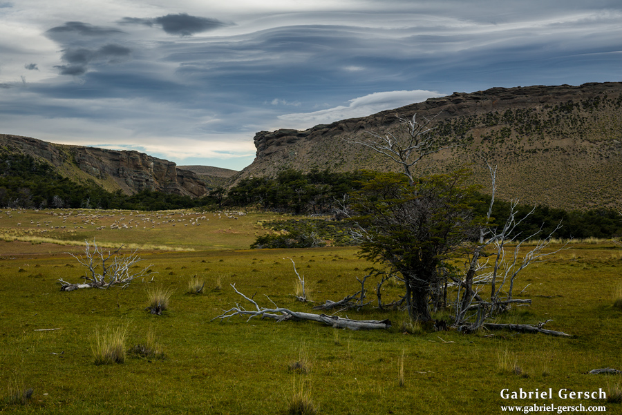
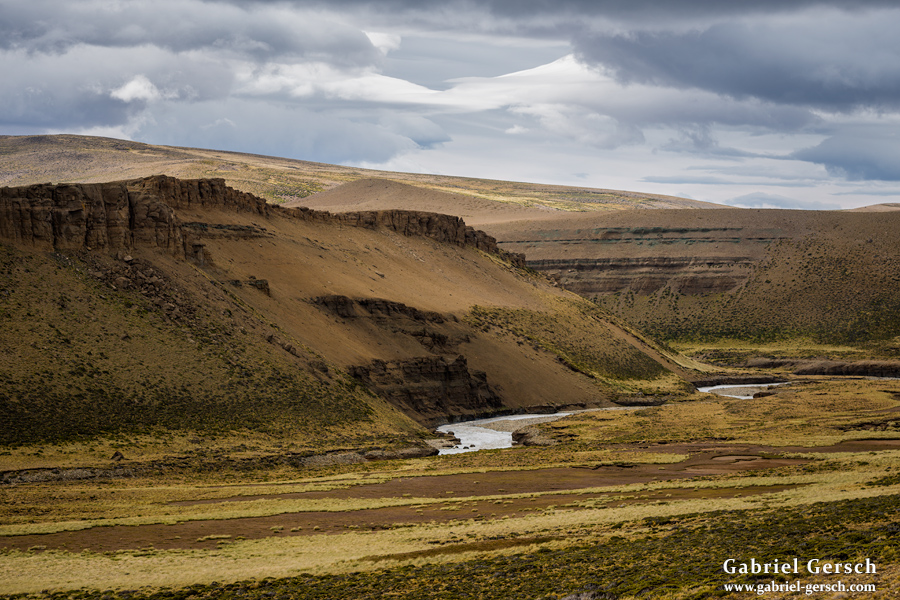
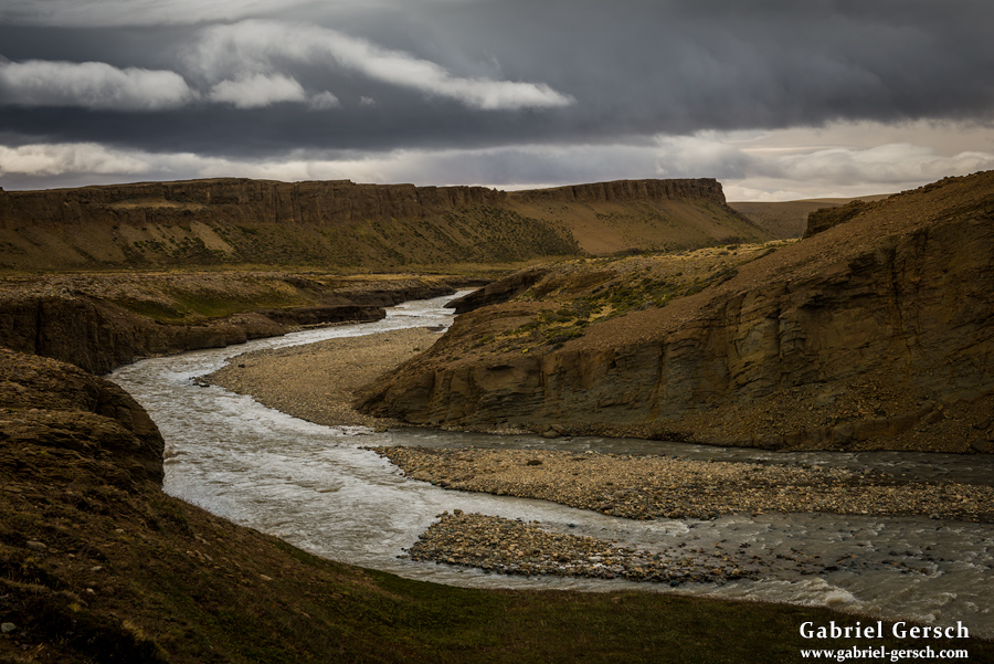
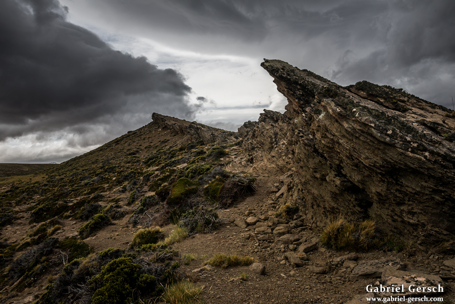
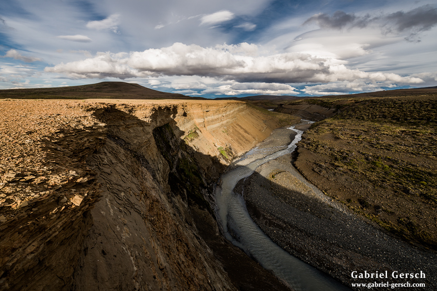
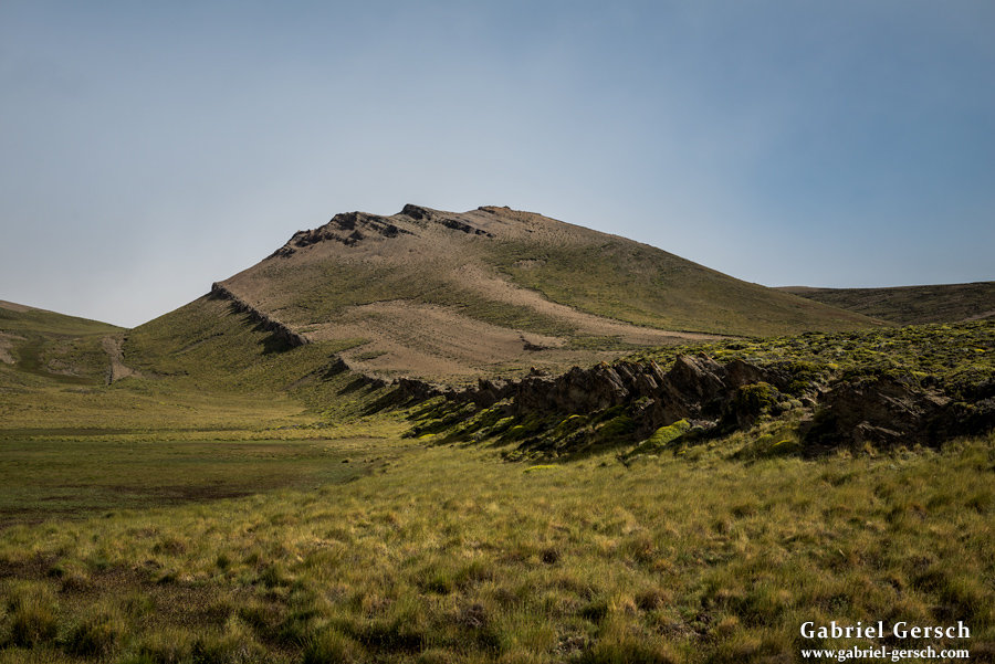
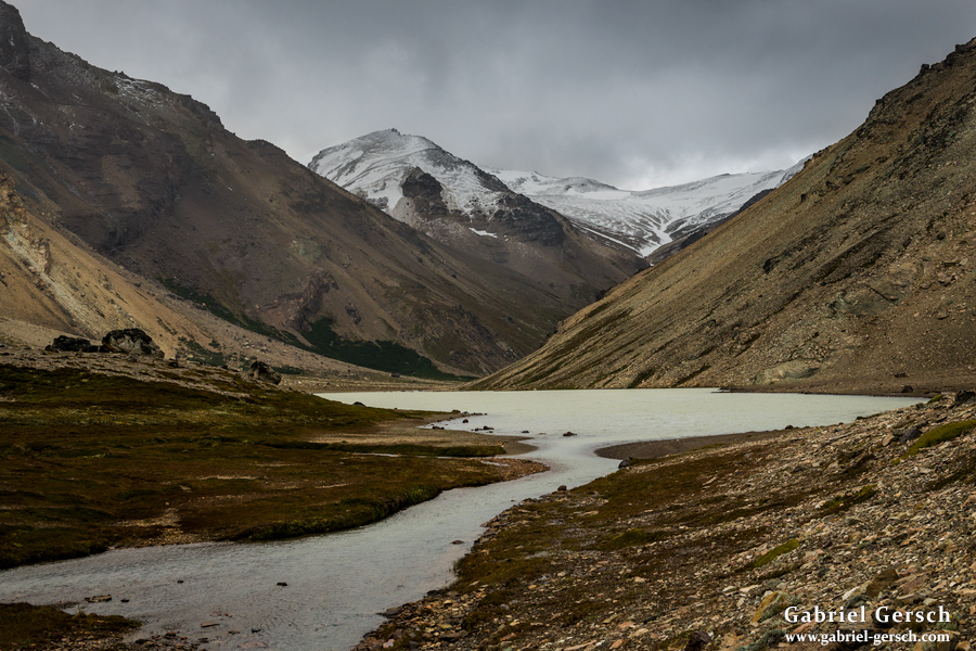
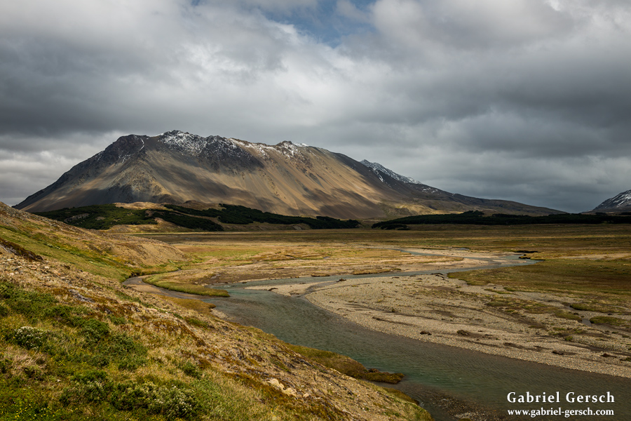
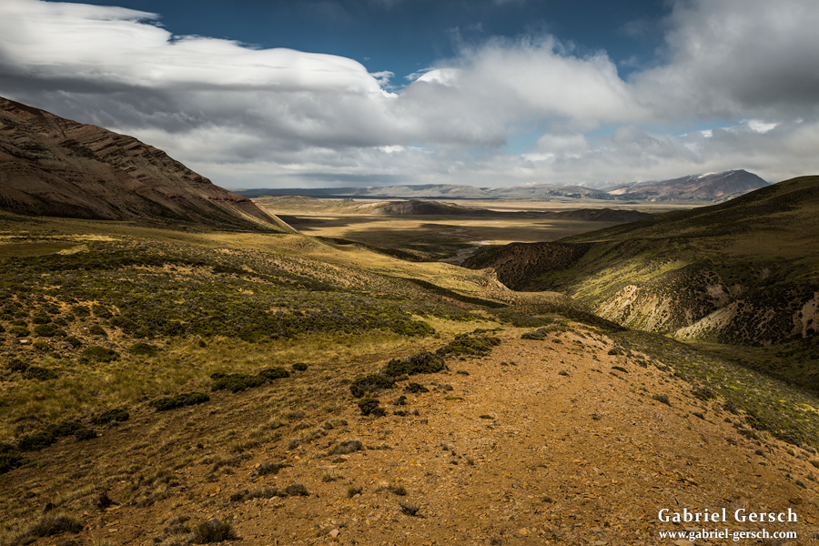
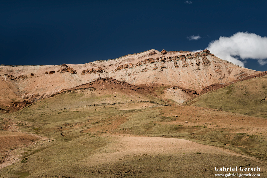
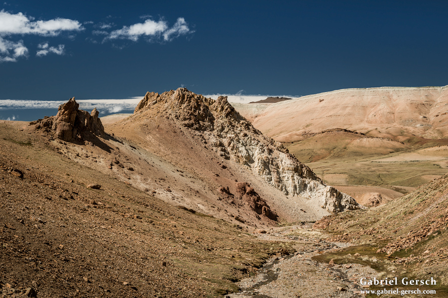
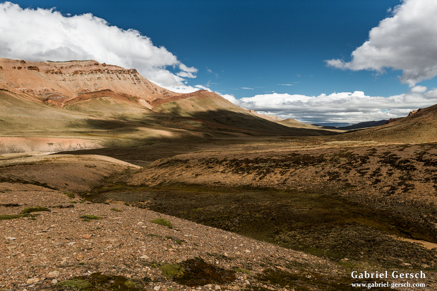
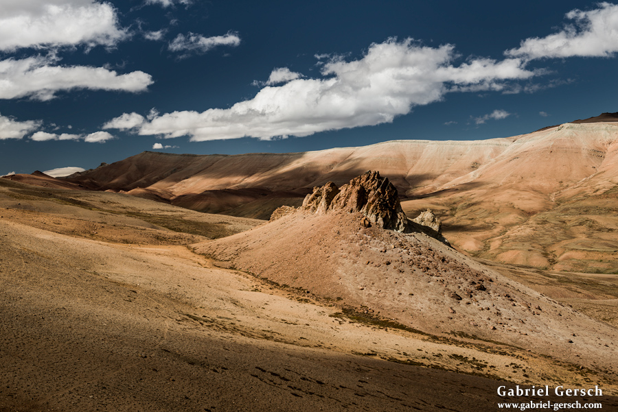
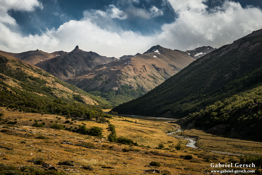
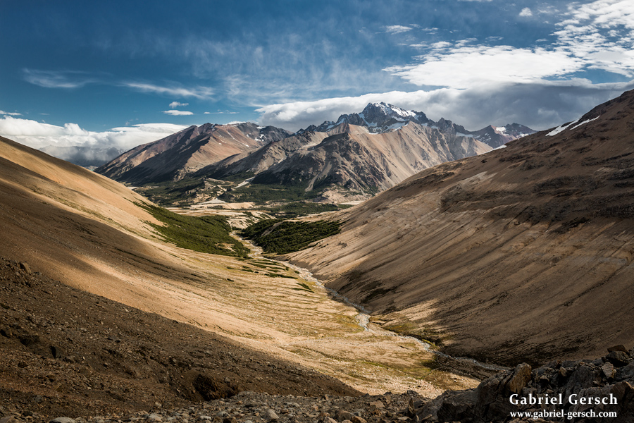
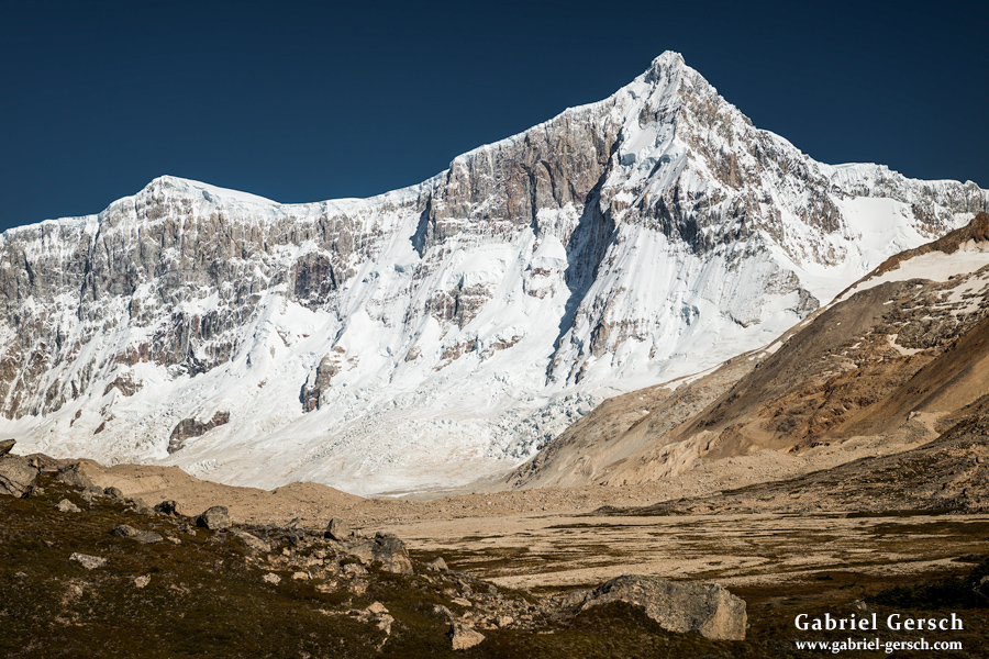
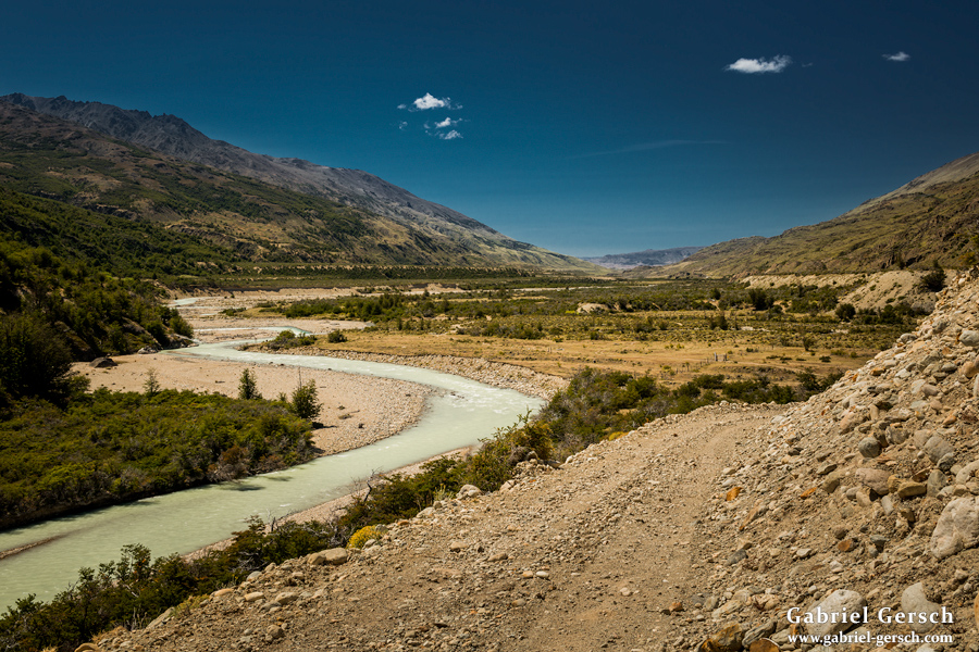
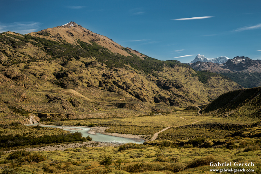
I didn’t have much time for route planning. There were two areas that looked especially interesting to me on Google Earth: in the north, I wanted to traverse the mountains between Route 81 and Rio Oro (Lago Pueyrredón), hike along the Sierra de las Cacas, through Perito Moreno National Park (which has nothing to do with the world-famous Perito Moreno Glacier, located 300 km further south) and the valleys around Mt. San Lorenzo in Argentina. In the south, I planned on hiking from the Torres del Paine massif all the way to Puerto Natales, following some big mountain ranges and glaciers close to the South Patagonian Ice Field in Chile.
Since I didn’t find good maps for the area, I relied on Google Maps Terrain prints like I did years ago in the Georgian Caucasus – these maps usually work just fine. Due to a couple of incidents, we had to adjust our route every now and then during our hike, so we ended up covering a little more distance than we had planned on, but everything ended up fine.
Those of you who are interested in following our route can download this road map I photocopied; it gives you an idea about the valleys and passes we came across. Still, this travel report will not give you all the details of our route, so if you want to do the same hike yourself, route-planning and navigation will be your own challenge and adventure. But hey, that’s a good thing!
The Journey
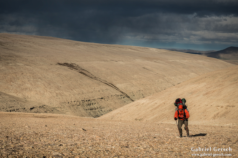
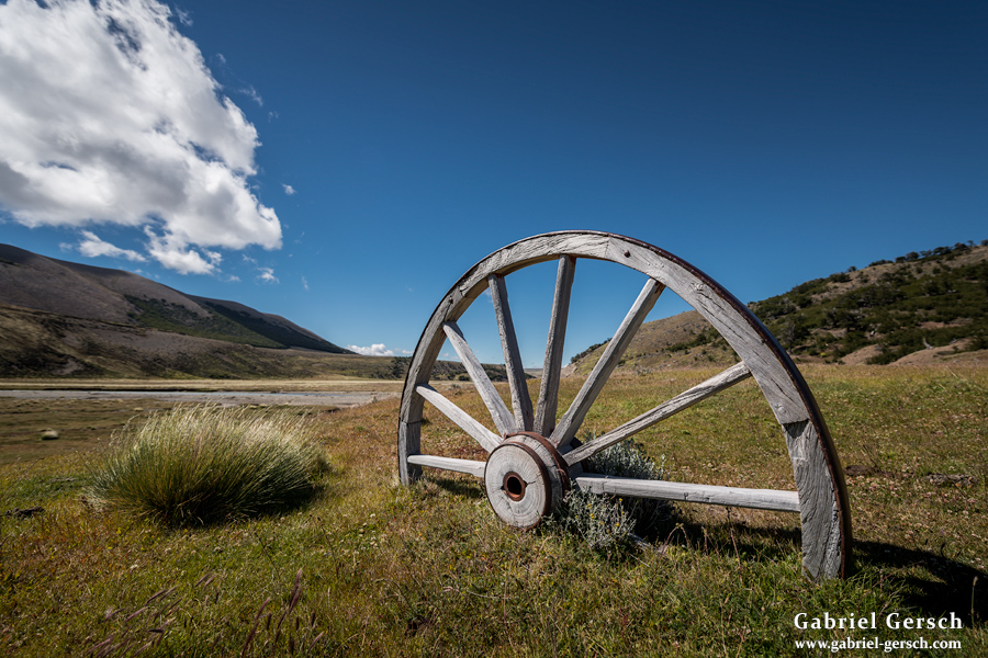
We arrived in El Calafate (Argentina) on January 25 and had to stay in town for two days, waiting for Alan’s luggage, which British Airways had lost somewhere on the way. We left as soon as he got his luggage back – with our bags stuffed with food for 23 days, we took the 4 am bus and drove north. Our bus stopped in El Chaltèn and Gobernador Gregores before the driver was kind enough to stop for us where Route 81 meets Route 40, the place that marked the beginning of our trek. The other passengers had doubtful looks on their faces when we left the bus at this random location, far away from the next town; one Israeli girl brought up the obvious: „But we are in the middle of nowhere, there is nothing here!?“ „Exactly“, I said and smiled.
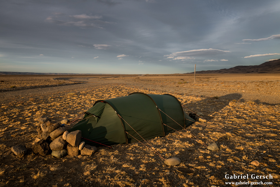
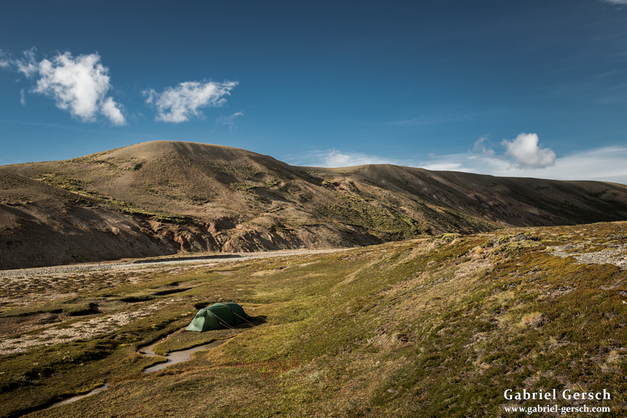
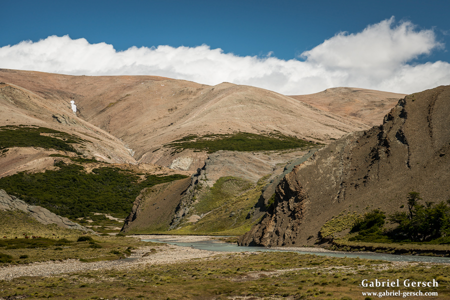
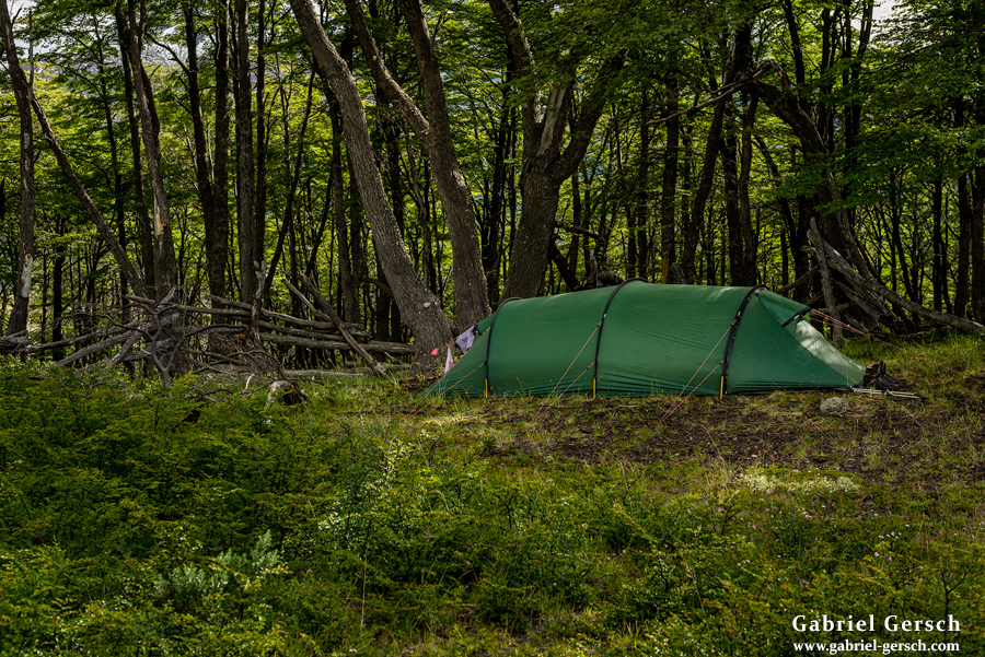
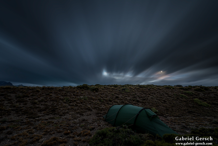
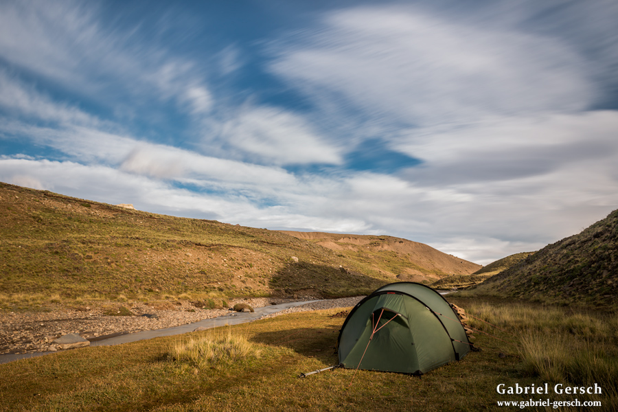
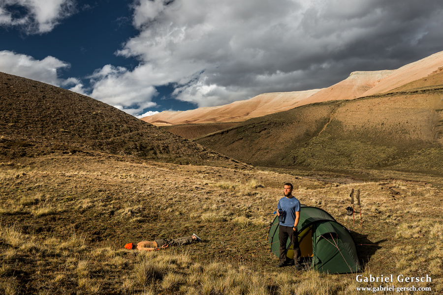
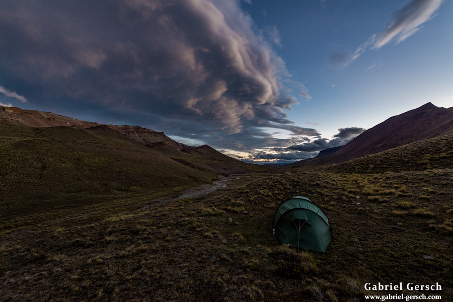
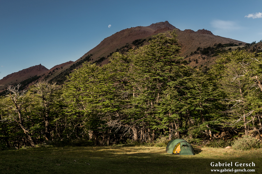
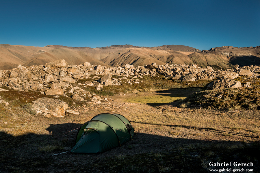
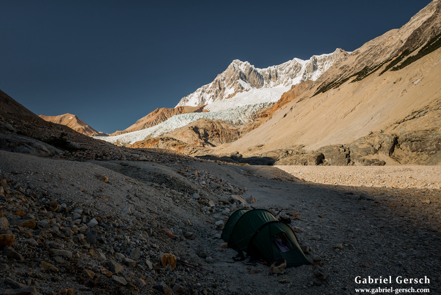
As soon as we were alone, Alan realized that he had forgotten his camera bag in the bus – an older DSLR, two lenses and a couple of memory cards were gone. That wouldn’t have been too bad if he hadn’t stored his passport in the same bag, too. Now, Alan was without passport, which was a real problem, considering that we planned on going to Chile for our next hike. Anyway, we decided to worry about that later and moved on. We walked an hour in and camped at Rio Belgrano, where we spent our first (and very windy) night in the tent.
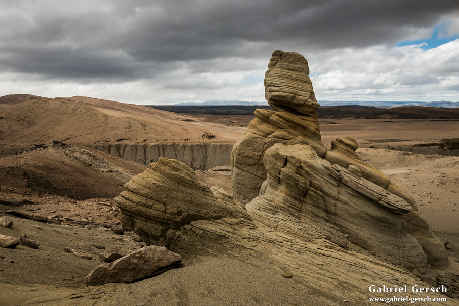
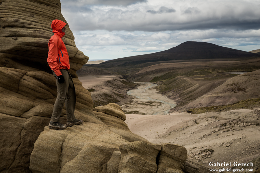
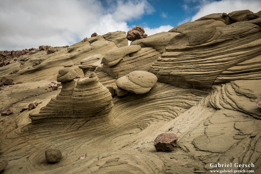
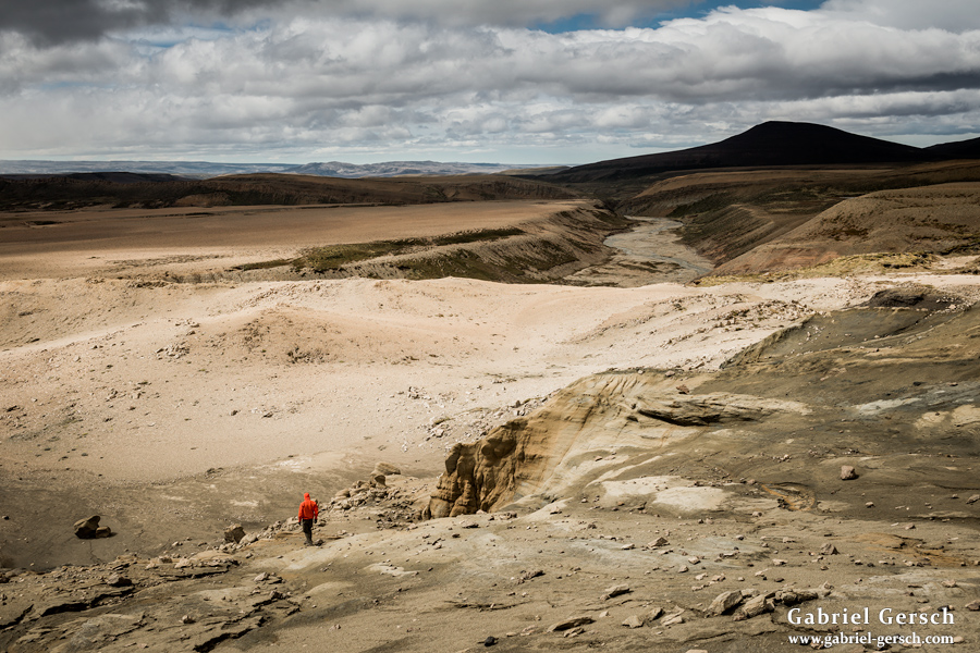
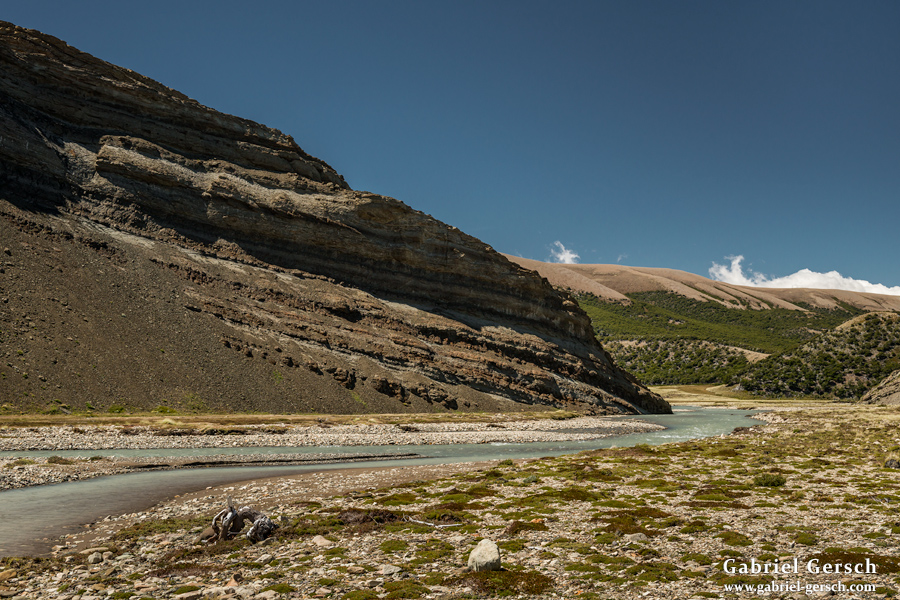
30 km and a stop at the small ranger station where we registered. Technically, we had entered the park illegally (the only official way is through Route 37), but the rangers let us continue our journey after filling in several forms for us. We promised them to spend the night outside of the park boundaries.
Once we were in civilization again, Alan tried everything to get his passport back, but it was gone; the bus company didn’t know anything about his camera bag. So he went to the police, they gave him some sort of document which allegedly allowed him to stay in Argentina and travel to his homeland eventually, but weeks later this piece of paper turned out to be useless. However, since Alan couldn’t go to Chile with me, our paths separated two days later and I tried to accomplish our second mission alone. It didn’t turn out as I successful as our first one, but you can read about the issues I was having there in the next report.