 Deutsch
2015 Namibia (2/2): Damaraland Trekking |
|
| Places | Northwest Namibia. Kunene. Damaraland. Ugab River, Brandberg, Twyfelfontein |
| Time & length | February/March 2015, 3 ½ weeks |
| Partners | Gini G. |
|
We hitchhiked to the town of Uis and explored the Ugab River and Brandberg area on foot, including Tsisab Valley and its ancient paintings. Later I continued north and hiked in the Twyfelfontein area, where I encountered plenty of wildlife and visited some famous rock engravings.
|
|
This is the second part of my Namibia journey from winter 2015. If you want to understand why I chose Namibia or if you want to learn about hiking conditions, local people and trip preparations, please read about the Kaokoland trip (part one) here.
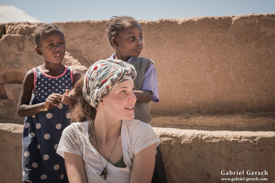
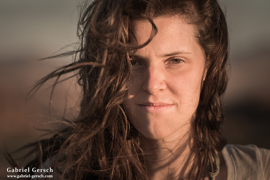
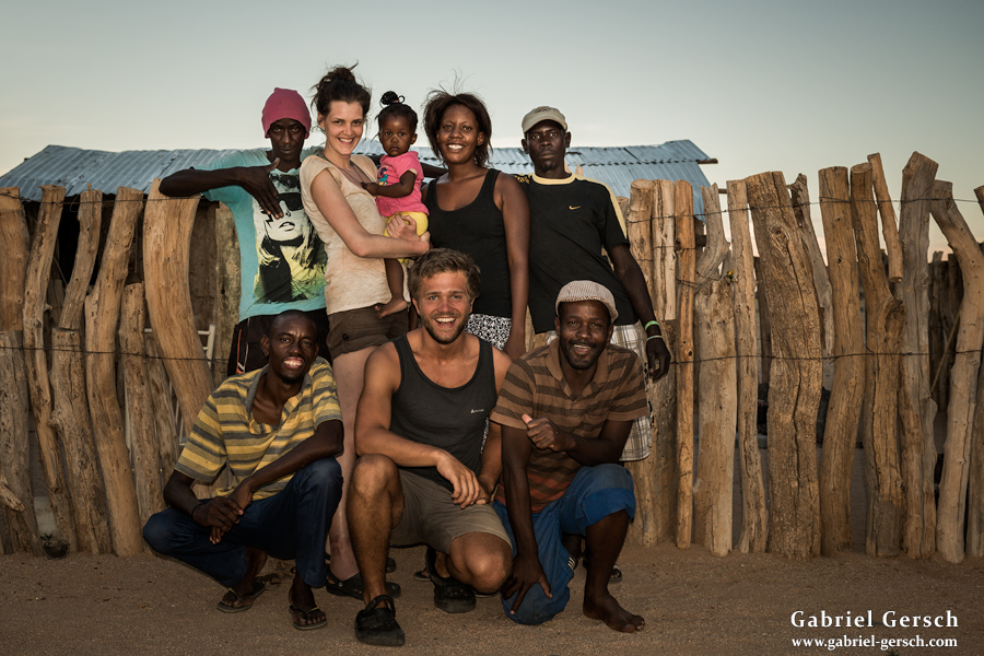
After Katharina left Namibia, another Austrian friend arrived. Her name is Gini, we had met in Vienna the year before and were seeing each other regularly when she decided to join the second part of my Africa trip. Gini is a pharmacist, she loves travelling and photography – although she had never been to Africa before, she felt motivated enough to come along and prepare accordingly.
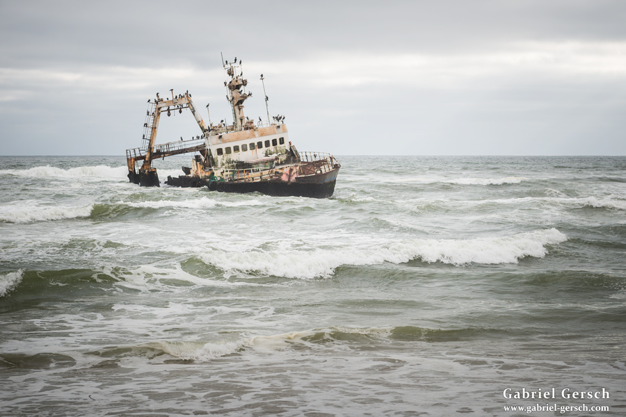
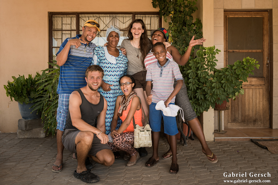
Two days after she arrived in Windhoek, we left the city on February 28 and took the bus to Swakopmund. Our goal was to reach the town of Uis, from where we wanted to explore the Brandberg area, but without public transport, logistics weren’t easy. We decided to hitchhike and got picked up by a man named Conrad, who not only brought us to Uis but also invited us to stay with him and his family for as long as we wanted. On the way to Uis we stopped to see the shipwreck “Zeila”, which got stuck here at the coast in 2008.
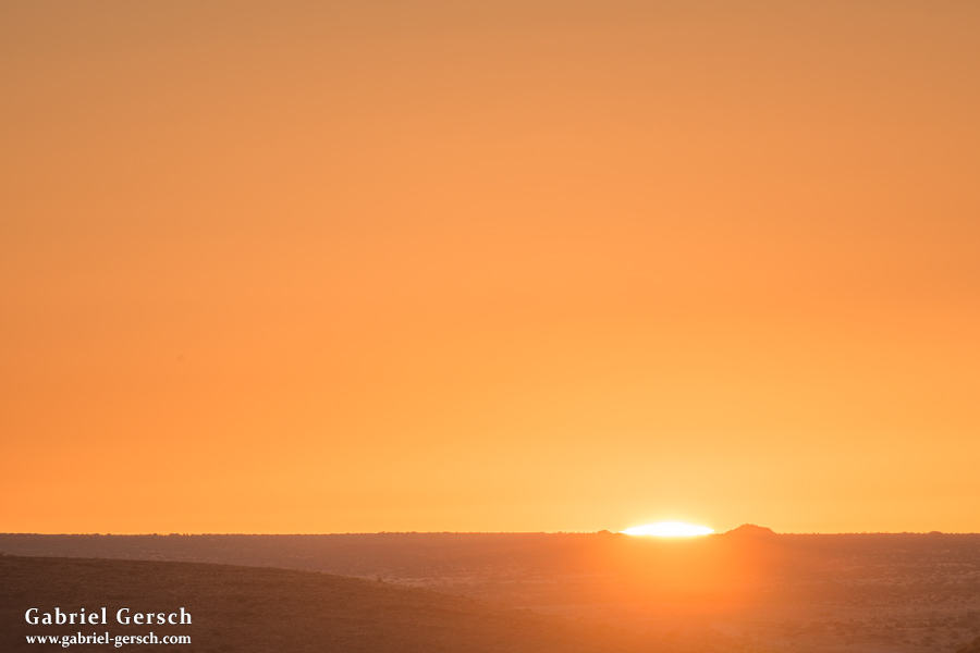
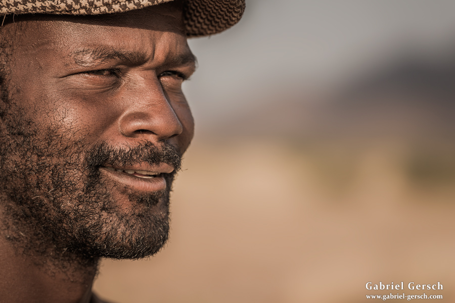
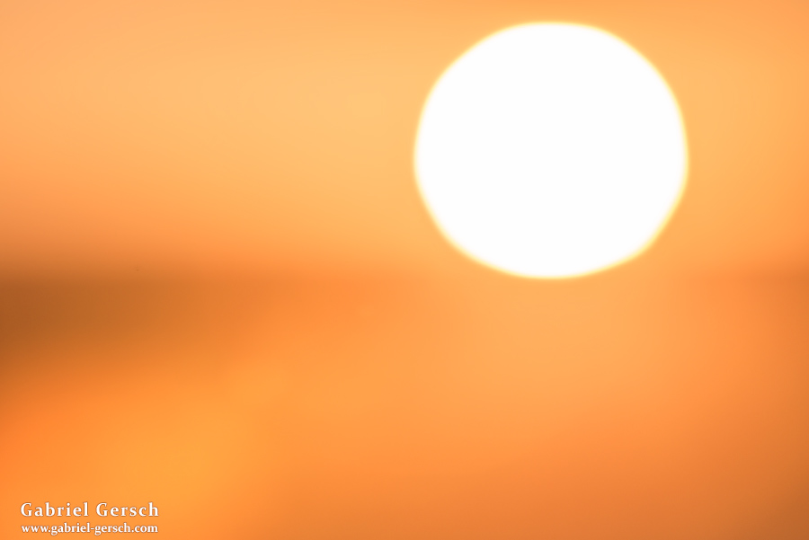
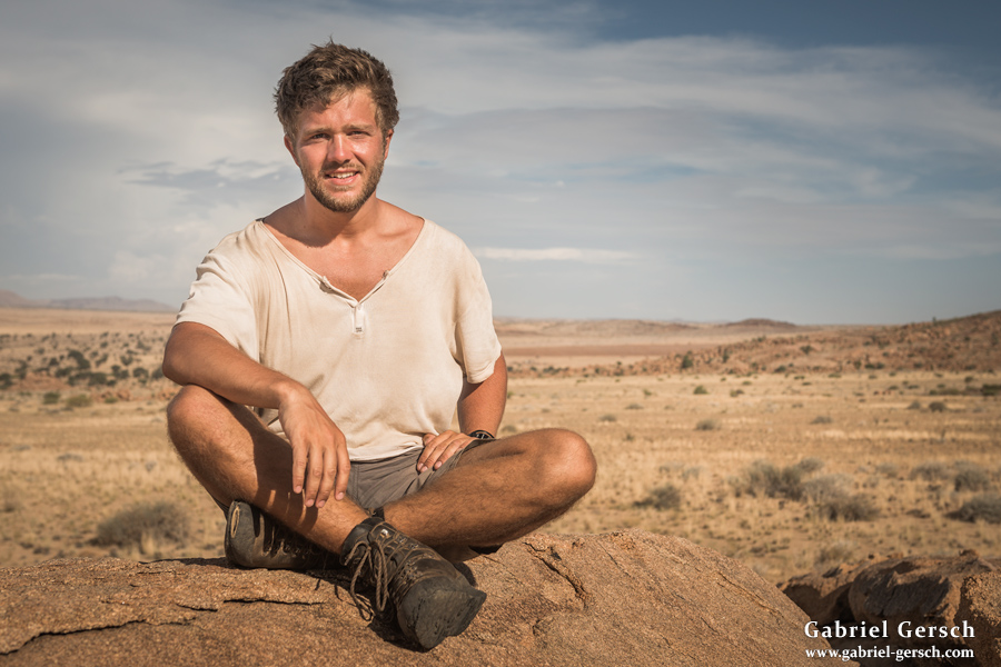
After a good night’s sleep at Conrad’s place, we were woken up early to see the sunrise and the mining areas around town. Later, Conrad helped us find the right companion for the trip I had planned. His name is Marco; he used to work as a guide in the Brandberg area before but was unemployed at the moment. Marco is a fine man in his early thirties, quite knowledgeable and with a great sense of humor. He told us about the local farms in the area – these farms all have their own wells which we planned on using for drinking water since there were no natural water sources around. Marco agreed to hike with us and was ready to leave the very next morning.
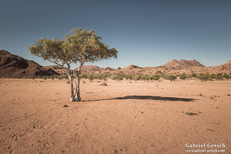
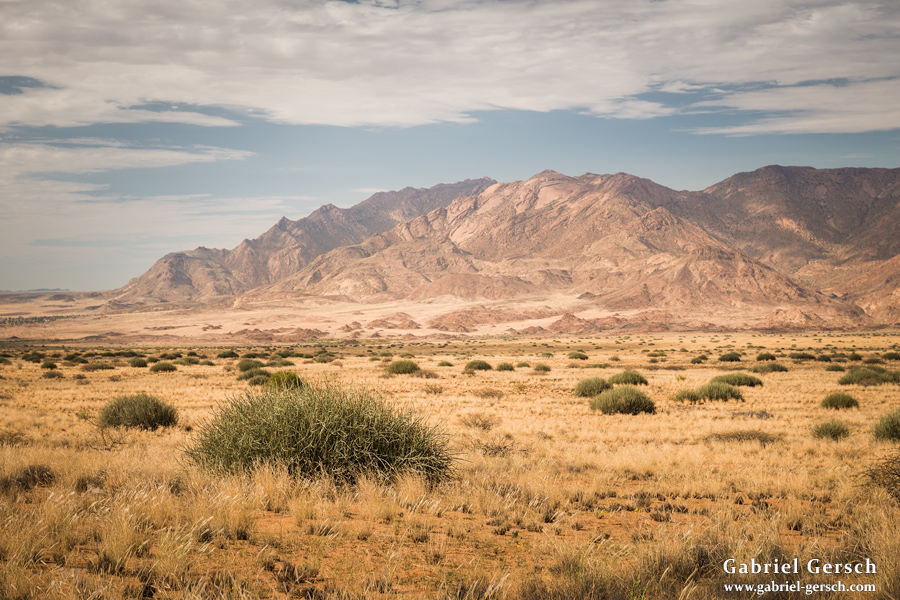
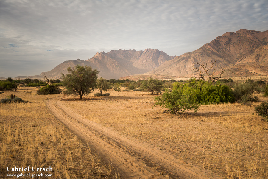
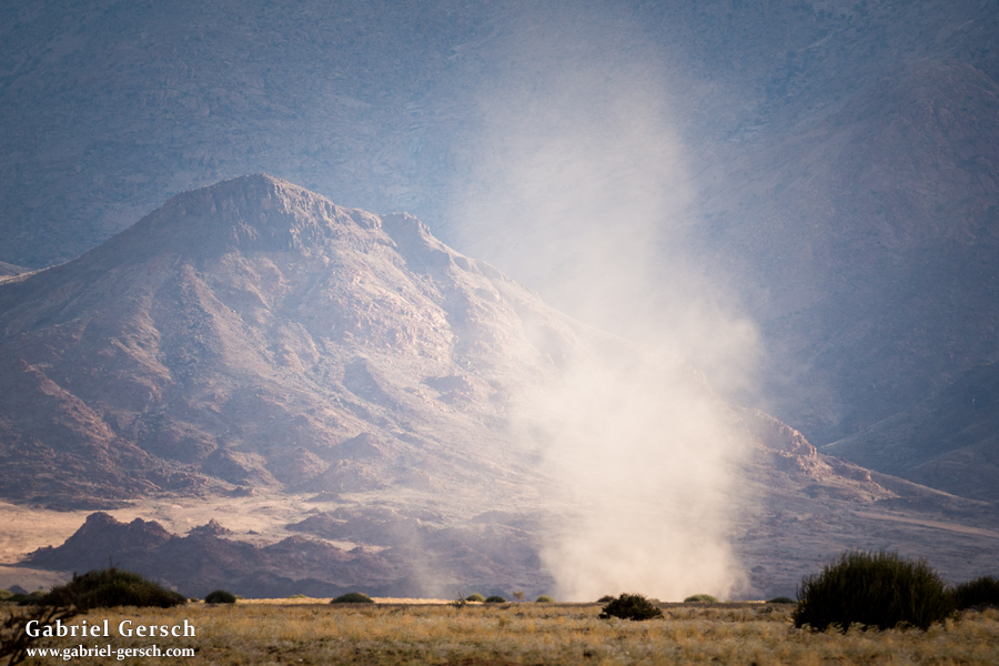
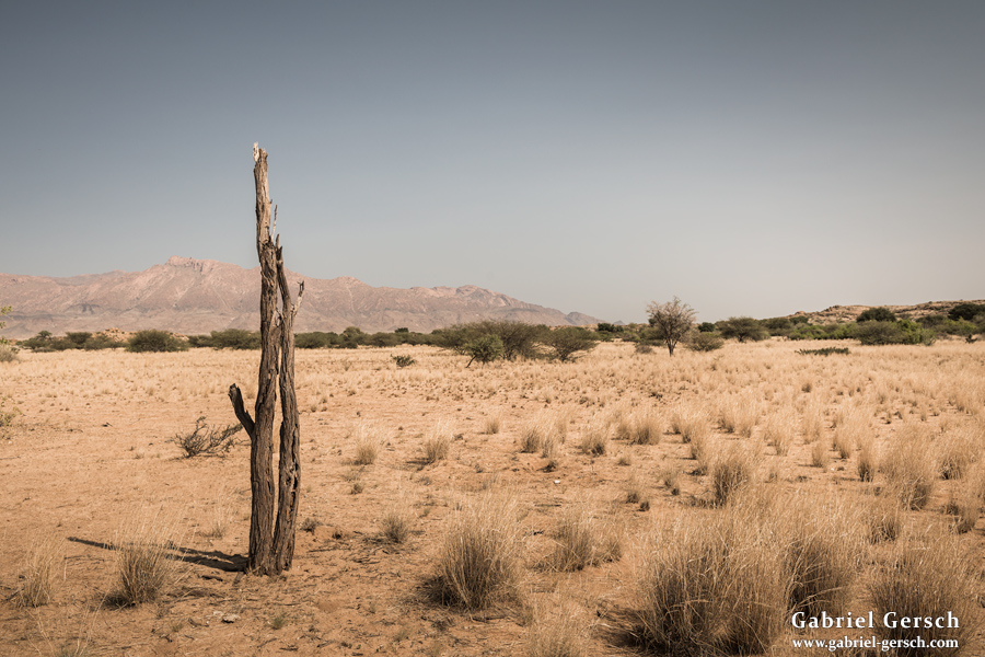
My goal was to explore the area along the Ugab River: Sorris Sorris, the big valley northeast of the Brandberg, the Tsisab Valley and its paintings and whatever was close and worth seeing. We intended to hike for ten days in a row and brought enough food to make that happen.
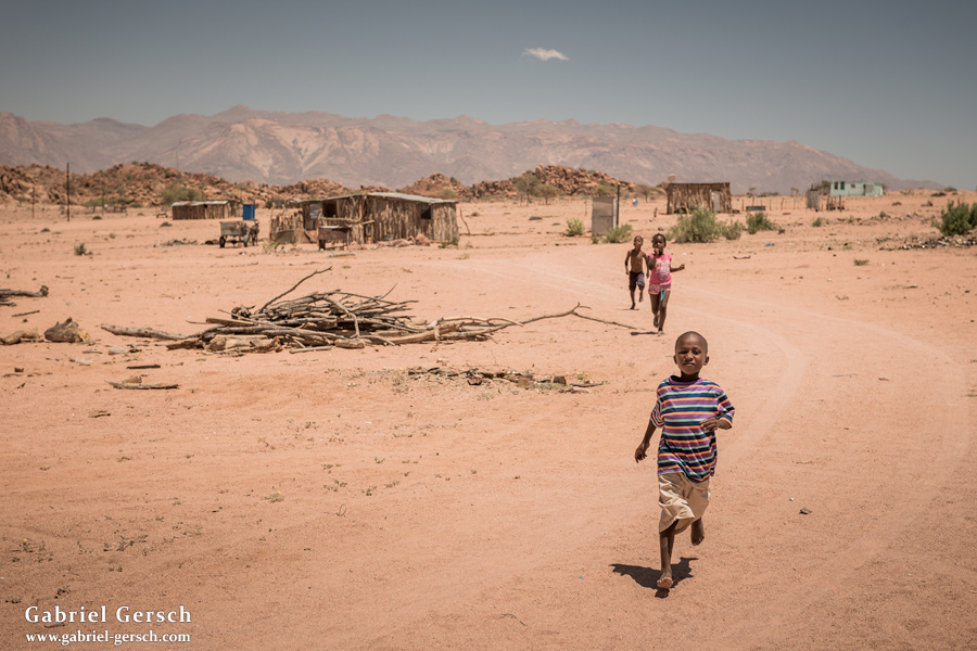
The three of us left Uis in the morning of March 2. After hitchhiking north on the road to Khorixas, we got dropped off at the Ugab River bridge and started hiking west, always following the dry and sandy river bed. In the late afternoon we reached a small settlement, where we spent the night.
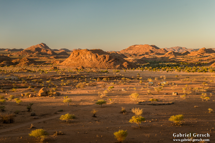
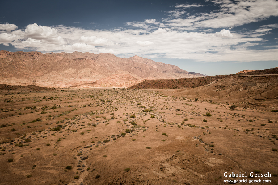
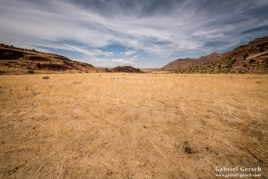
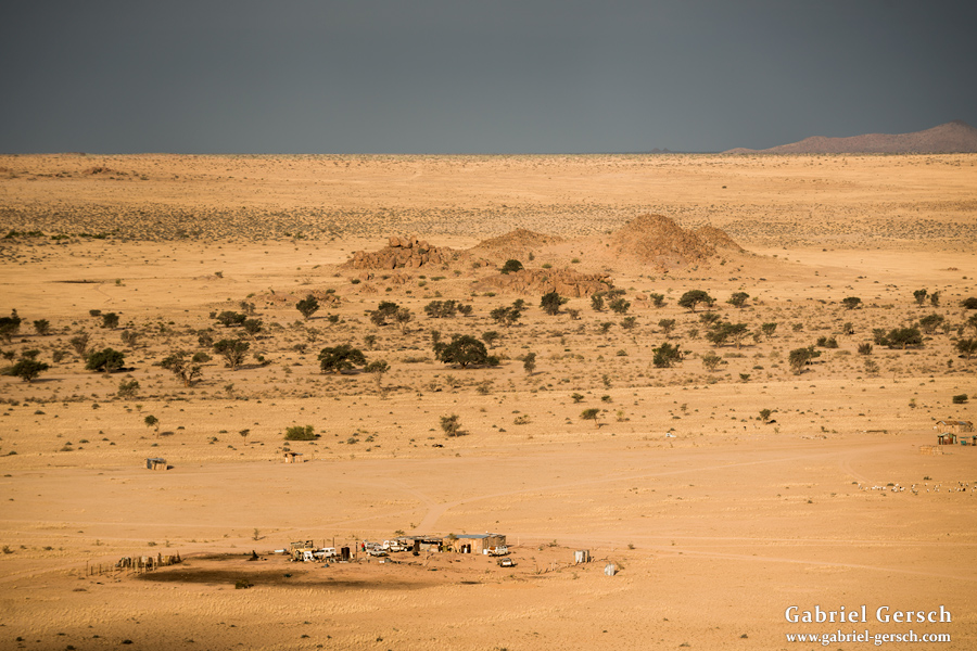
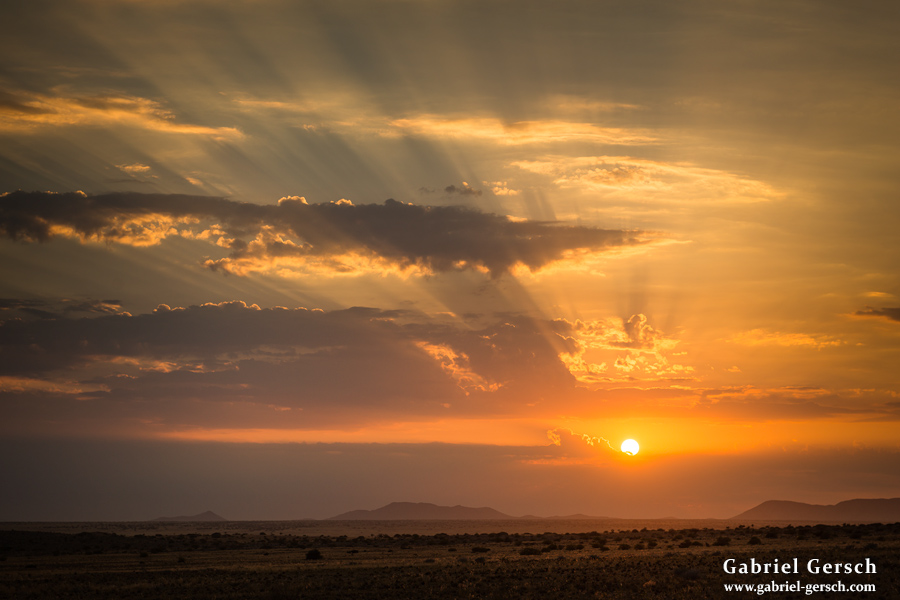
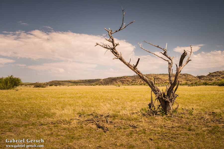
We spent the next two days hiking further northwest into the open valley, where we passed the small town of Sorris Sorris and a school in a place called Ani Gab. During the nights we camped close to farms where they allowed us to use their water.
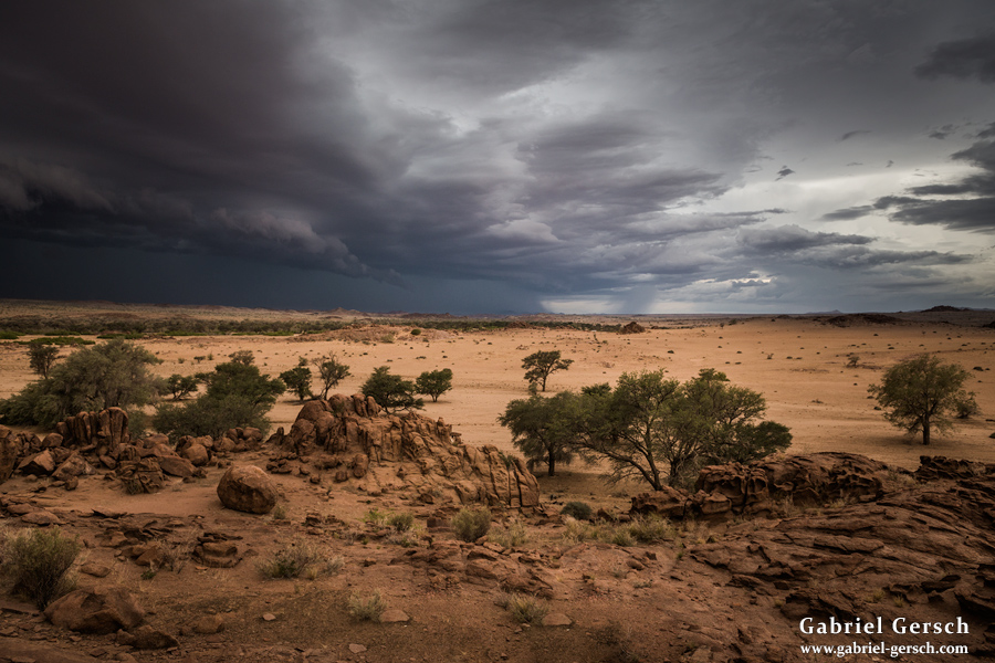
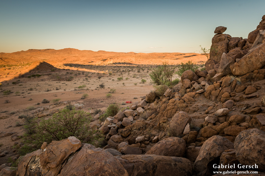
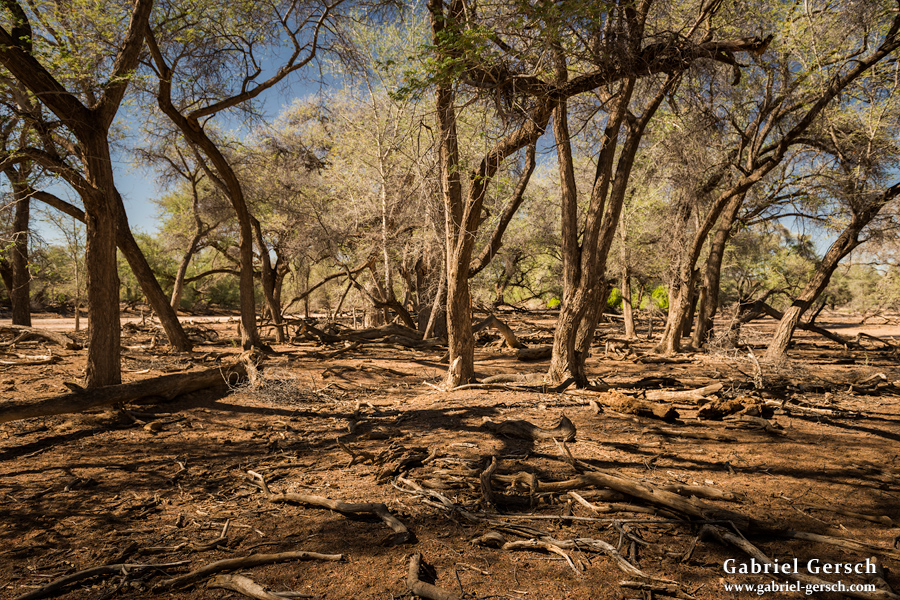
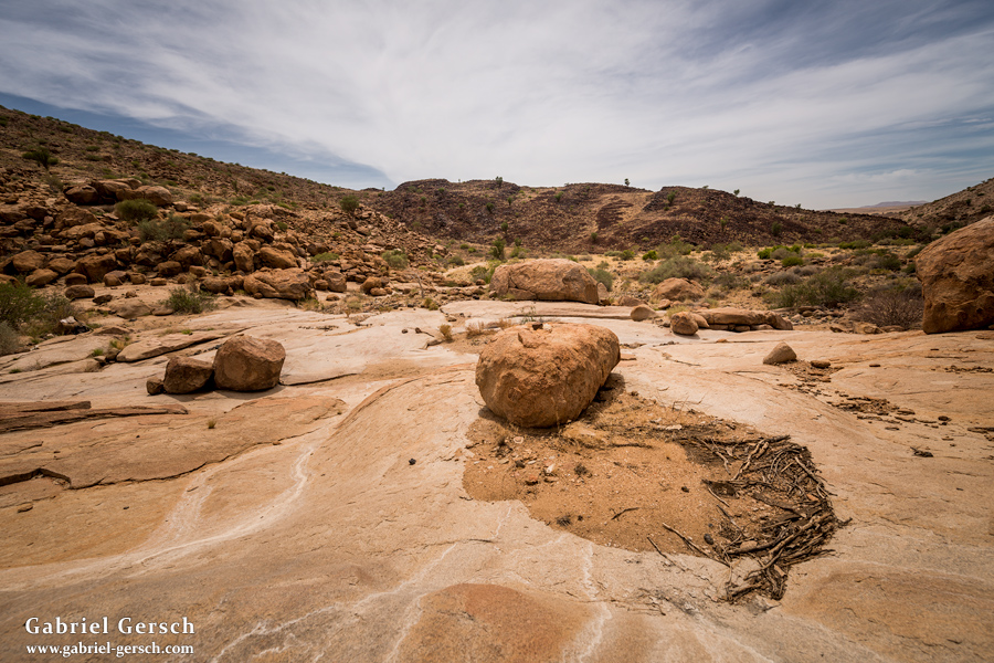
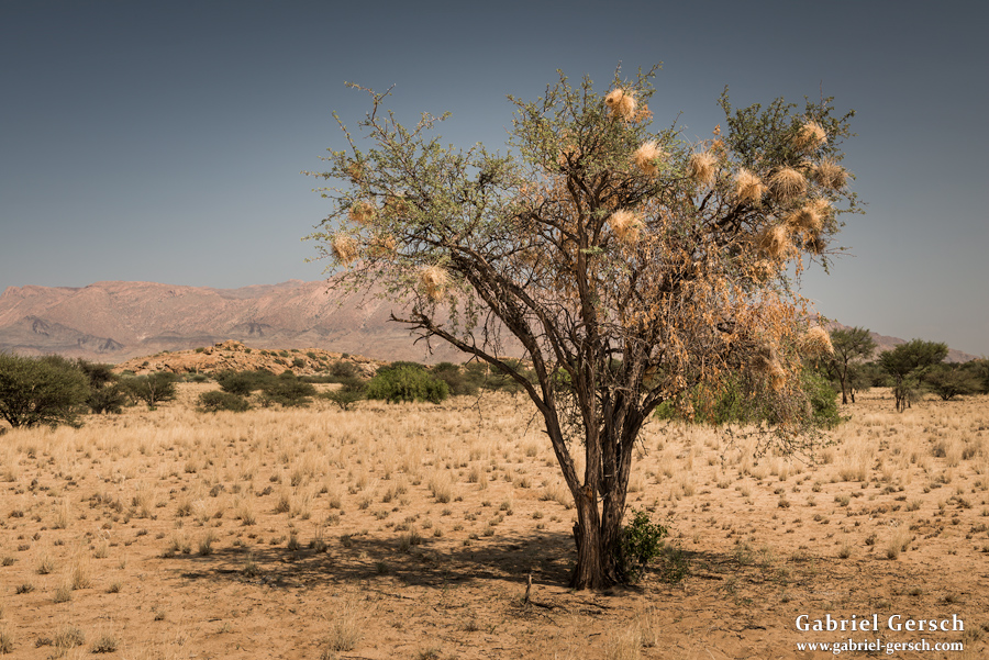
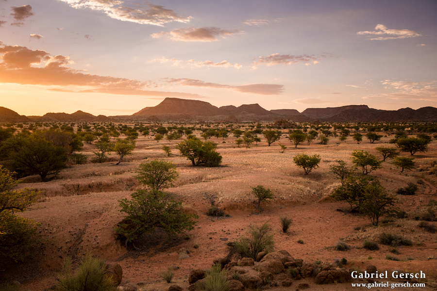
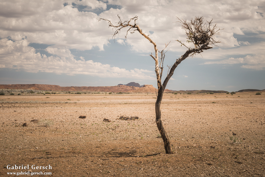
On March 5 we followed the Ugab River to where the valley ends and the river bed turns into a canyon.
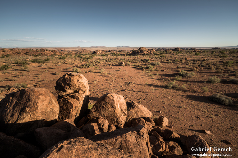
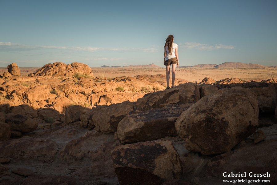
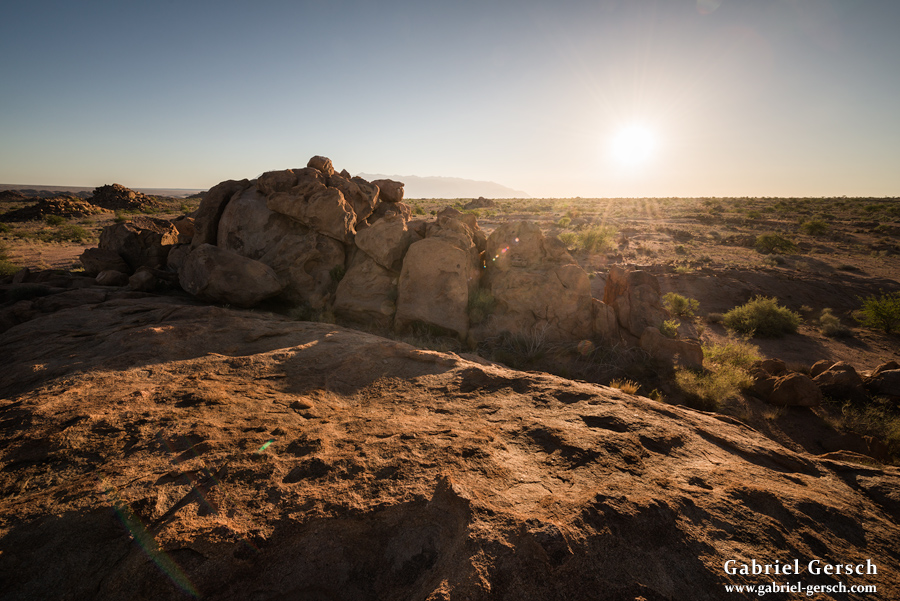
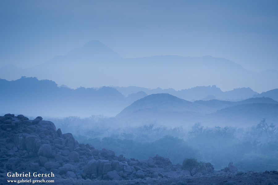
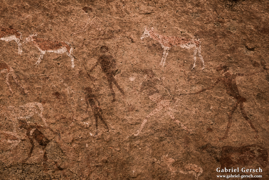
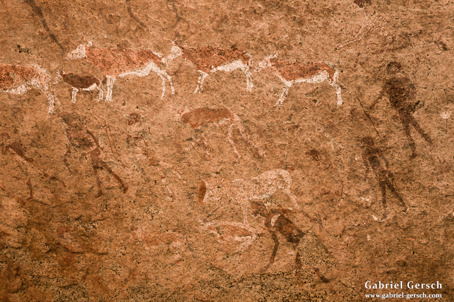
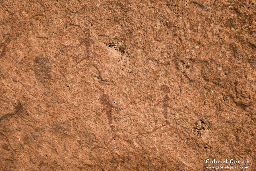
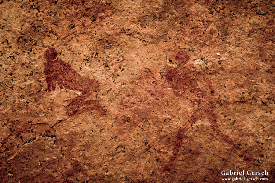
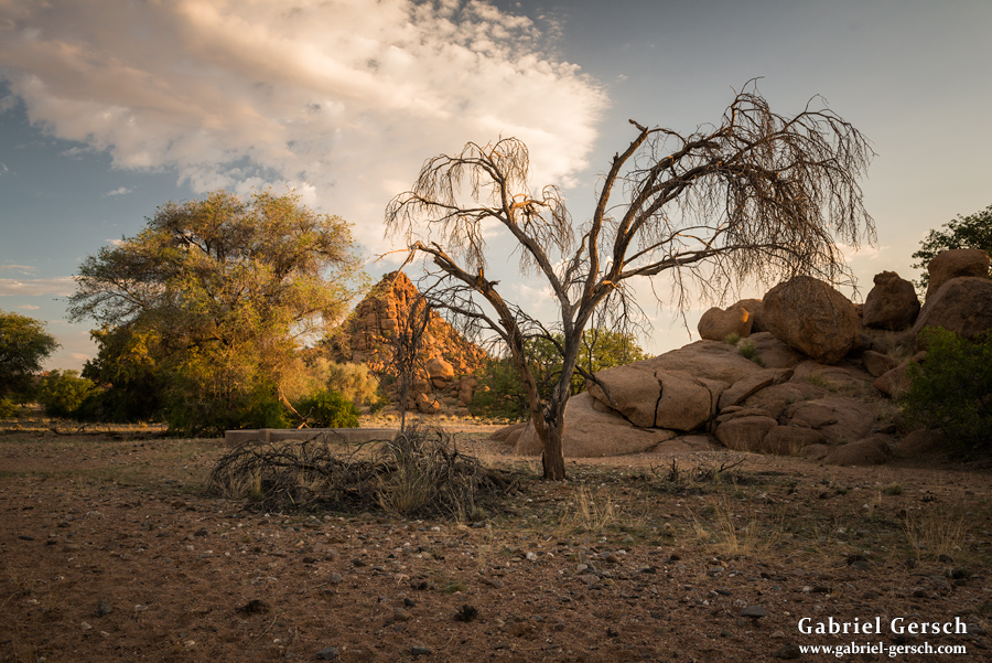
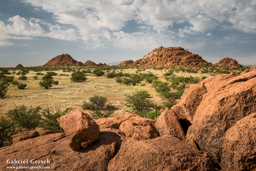
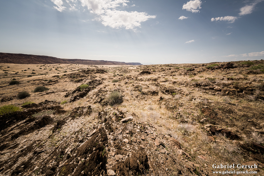
We then passed the Brandberg White Lady Lodge and reached a village close to Tsisab Valley. Tsisab is famous for its magnificent rock paintings which reach back to a time 2.000 to 5.000 years ago. Before we inspected those paintings the next day (Marco and I climbed up the valley pretty high), I spent the afternoon alone hiking over the hills northwest of Brandberg.
After we left Tsisab on March 9, the three of us reached a local farm called “Gaenab”, where we spent the night. Then we reached Uis in the afternoon of the 10th.
Conrad and his family welcomed us at their home again and told us that we could stay for as long as we wanted. Gini and I had a serious talk, and we decided to split up for a week: while she stayed with Conrad’s family in Uis for a few days, I left the very next morning and was excited to go on the last hike of this journey, this time alone.
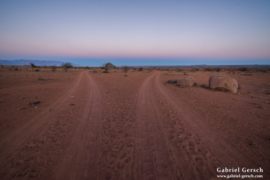
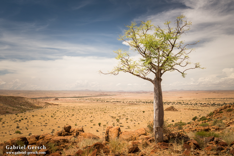
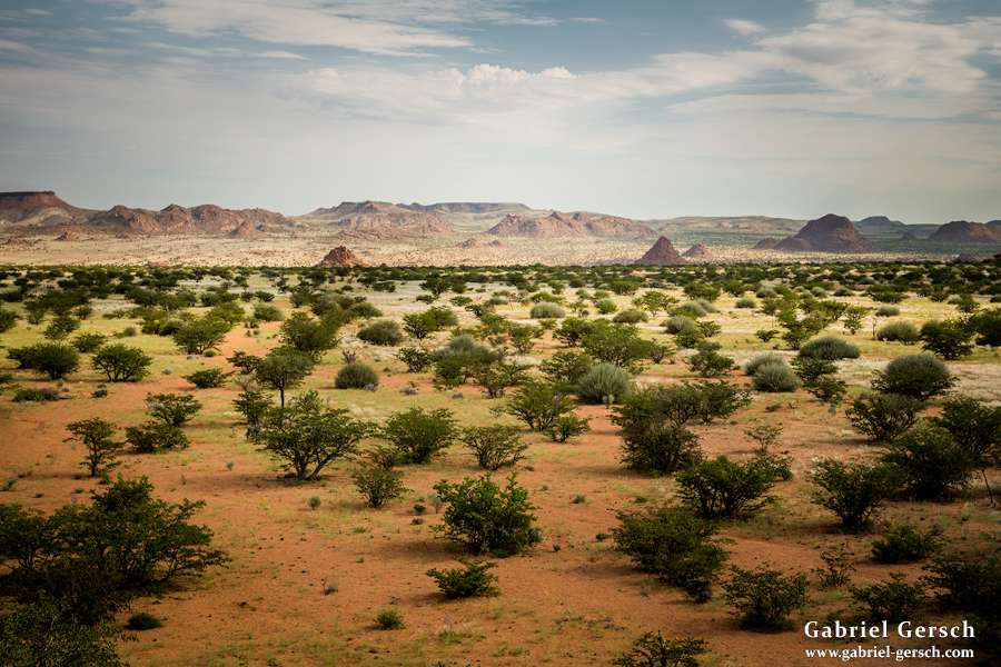
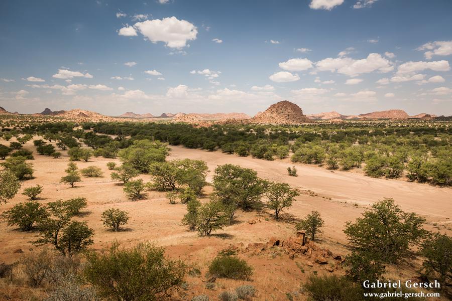
After a night in the local bar with Marco and his friends, I started hitchhiking north early the next day. The goal was to reach Palmwag and explore the area up there, but I never made it that far. Soon I got picked up by some French tourists who were on their way to a place just south of Palmwag. After a couple of hours driving north we passed through a beautiful piece of land in the Twyfelfontein area, and although I didn’t know exactly where we were, I asked the driver to stop for me. It was a spontaneous decision, but it felt right. The other people in the car were noticeably confused.
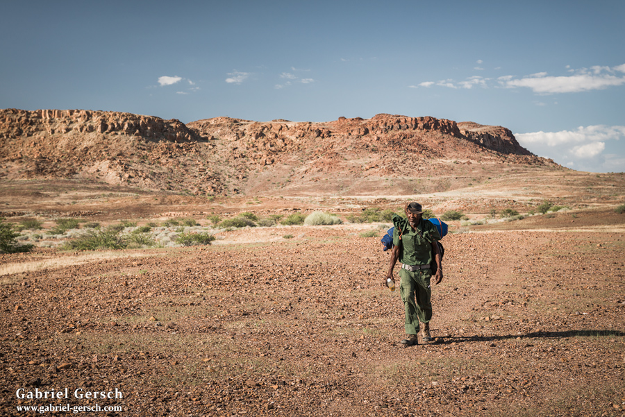
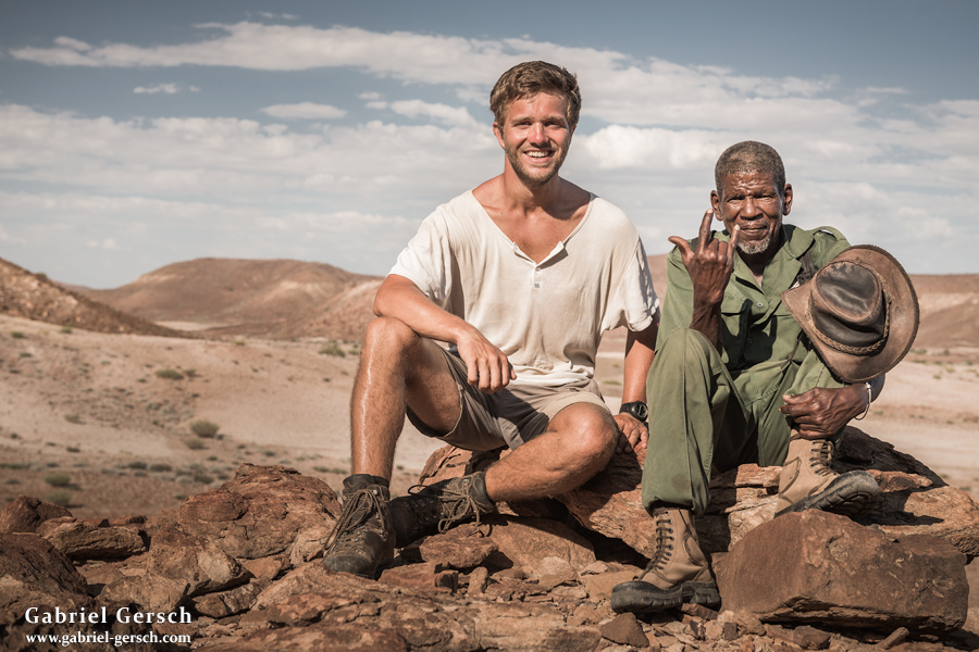
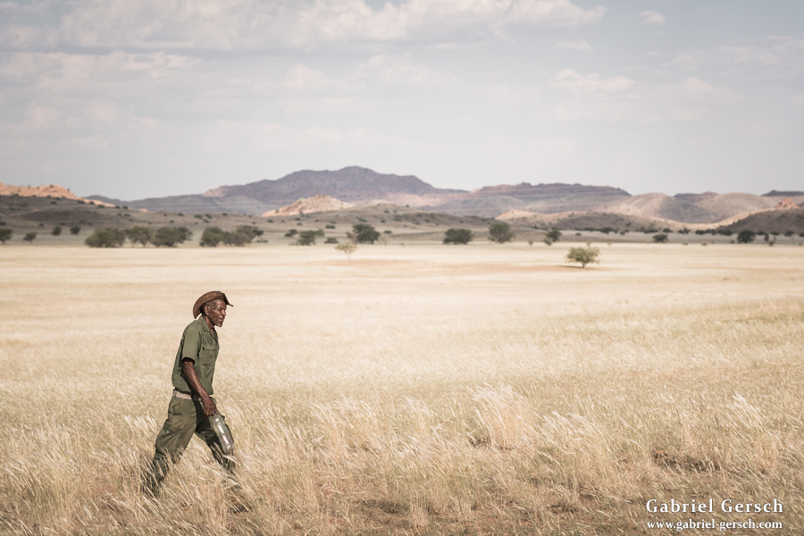
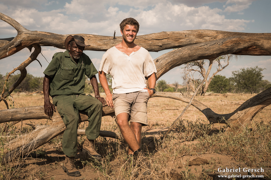
I walked over to a few houses and realized that I had arrived at “Twyfelfontein Conservancy Head Office” at the Abu-Huab River. The manager told me that her office doesn’t normally deal with tourism; they are engaged in wildlife protection and work with local farms. I asked for permission to spend a week hiking in the area, which according to the manager no other tourists had done before. Not only did I get the permission I asked for, they also recommended taking Anton as my guide. Anton, the elderly man with the rake in his hands, looked like a gardener; now they introduced him as “Senior Game Guide”. Alright, Anton wasn’t young, but he seemed fit and motivated. As usual he had no plans for the next week and was ready to walk with me the next morning. After I spent the night in the Abu-Huab river bed, Anton met me at 7 am on March 12 and pointed straight west, where we would spend the next few days away from civilization.
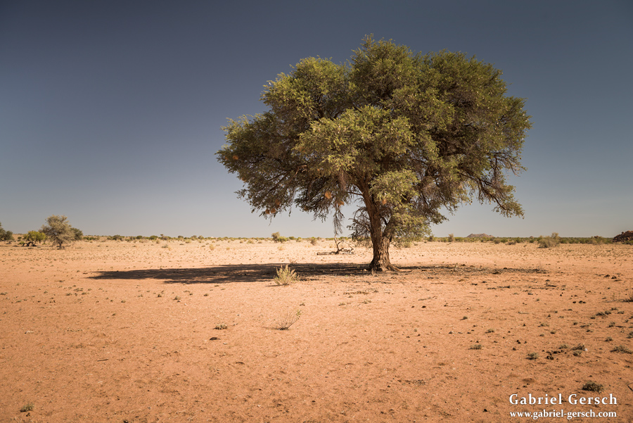
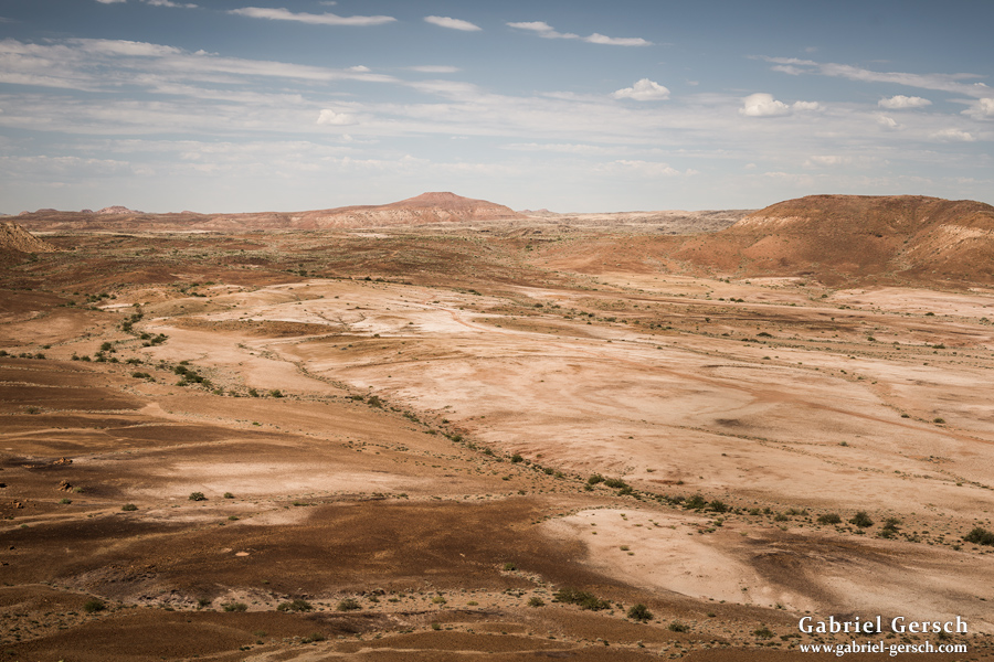
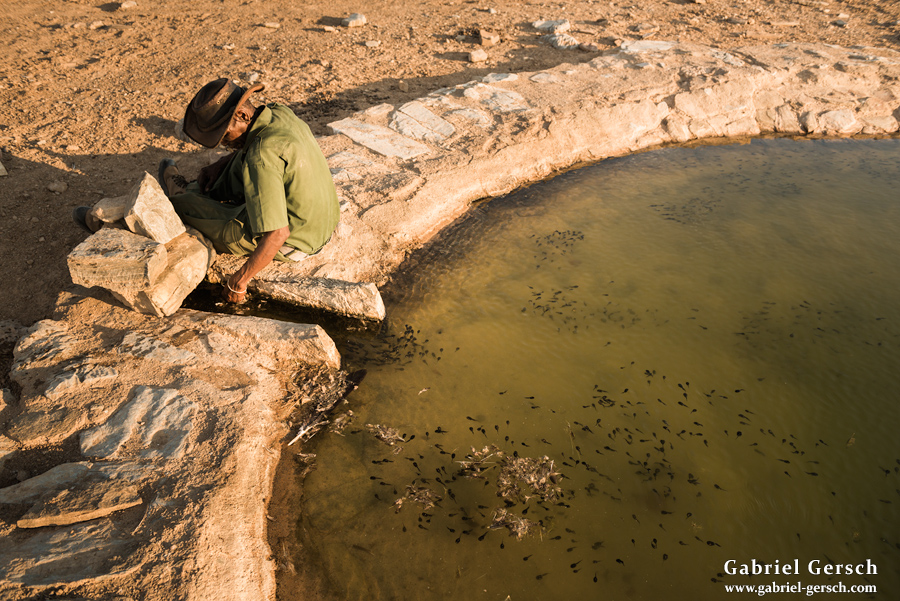
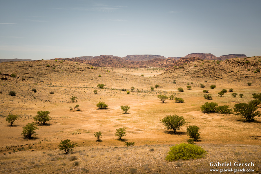
We reached a local farm and filled up our water canisters for the hike to a pond called “Probeer”, which we planned on reaching in the late afternoon. Probeer gets fed by a solar pump system and primarily serves as a water source for the few rhinos in the area. Since it was the only surface water far and wide, Anton and I decided go there and spend the night. I asked him how far Probeer was. “Is far”, he said. How far? “Don’t know. Two hours.” Well, two hours wasn’t that far. Four hours later I asked again, Anton, how far? “Is far. Maybe three hours.”
Alright, that’s going to be fun, I thought. Anton had never been on a longer hike before – he knew the area but had only explored it with a vehicle so far. Of course he had a hard time guessing time spans and distances.
Finally we reached Probeer in the shine of my headlamp way after sundown. That day we hiked over 40 kilometers. Anton seemed quite exhausted; I loved it.
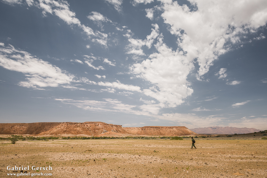
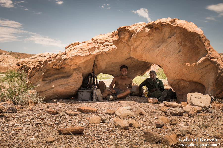
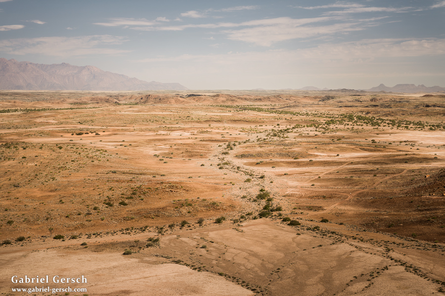
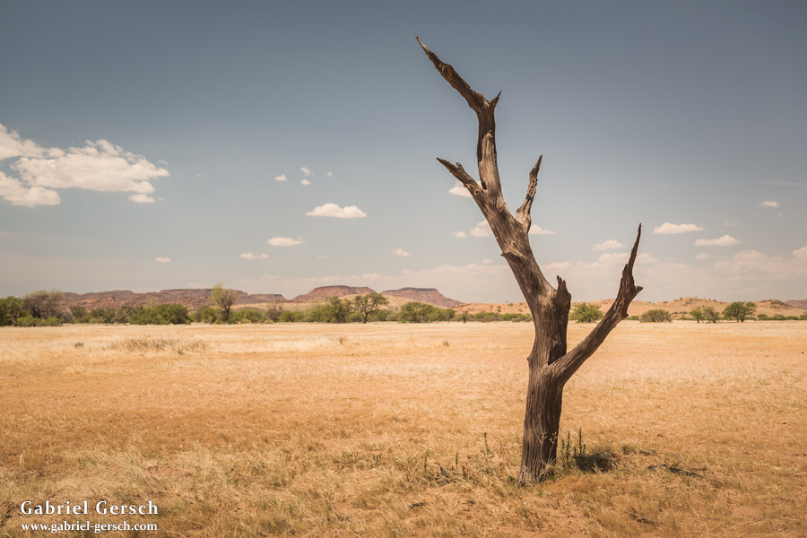
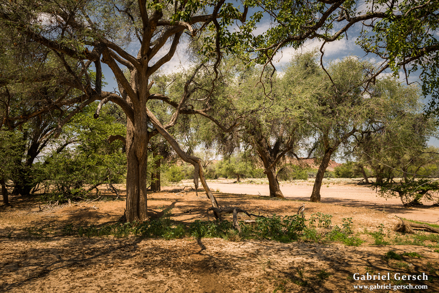
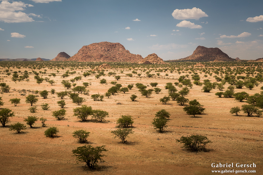
The next day, Anton was not exactly motivated to do another march like this. I suggested to spend the day hiking in the area alone and meet him again late in the evening at Probeer, but he insisted on coming along. So we decided to leave our gear behind and spent a day exploring the surroundings.
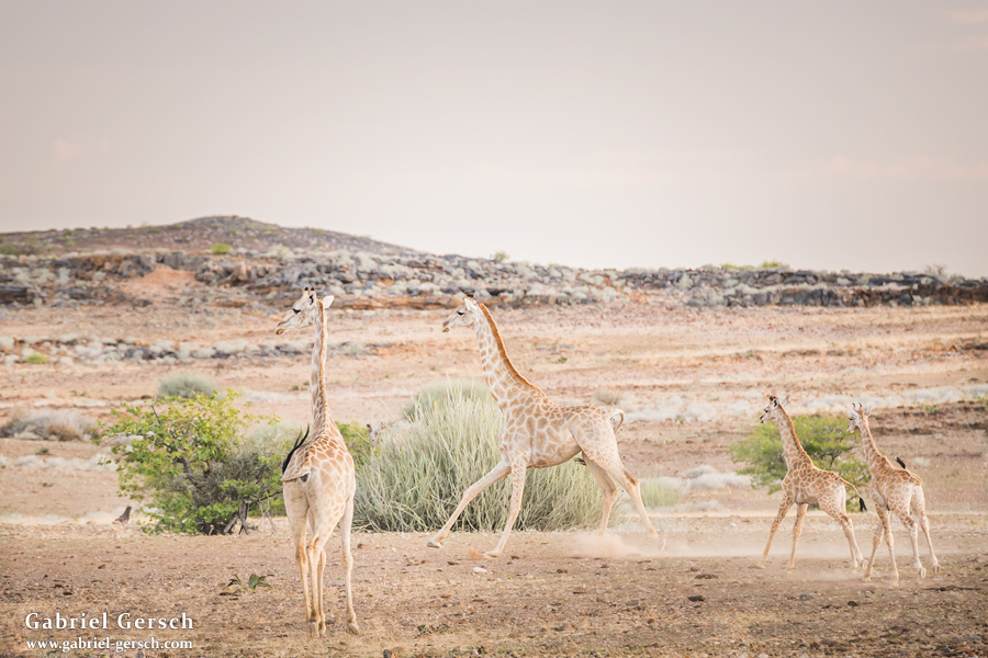
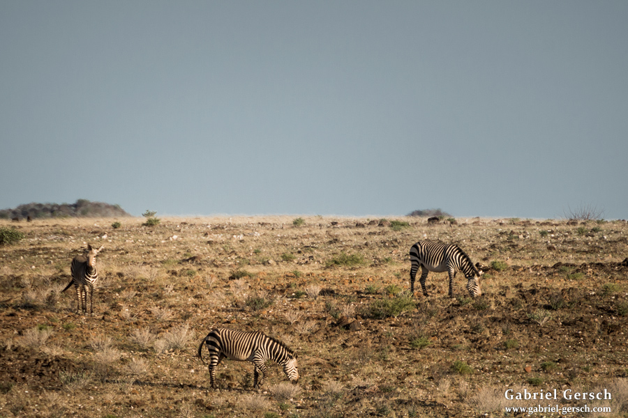
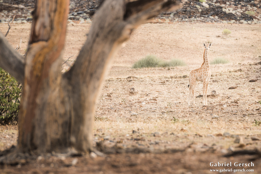
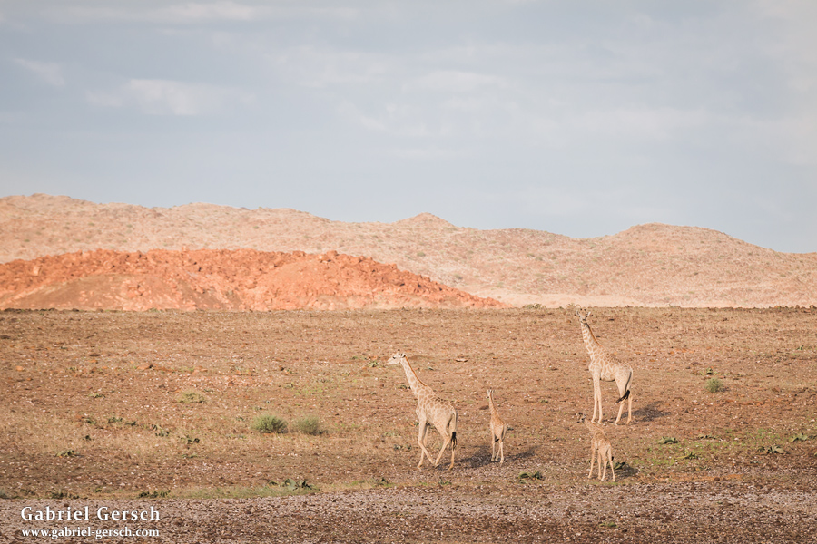
By the way, the water at Probeer tastes horrible. Even worse than what I drank for a few days in 2012 when I camped close to the shore in arctic Alaska, where I only had access to the little puddles in the tundra which were frozen most of the year and taste like rotten algae in the summer. Yes, Probeer was much worse, probably because all the animals around drank from it, including birds that have shit everywhere and mammals like zebras, giraffes and rhinos, who might feel like the water must also be good for bathing. Too bad that I needed between eight and ten liters per day. When Anton realized that I had a hard time drinking that water, he said “I know, but I like it. It’s saving us.”
Now a few pictures of our day hike around Probeer.
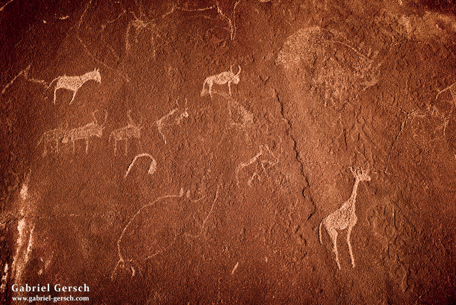
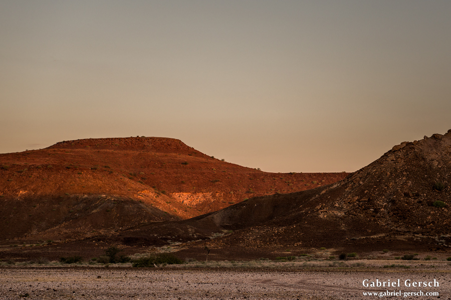
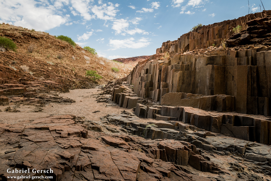
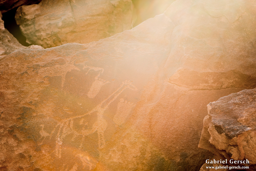
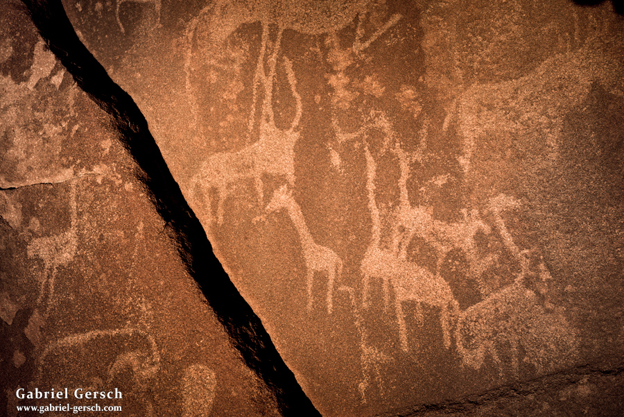
On March 14 we reached “Burnt Mountain” and the “Organ Pipes”. We continued hiking until we got to the Twyfelfontein World Heritage Site, famous for its thousands of years-old rock engravings that we saw the next morning.
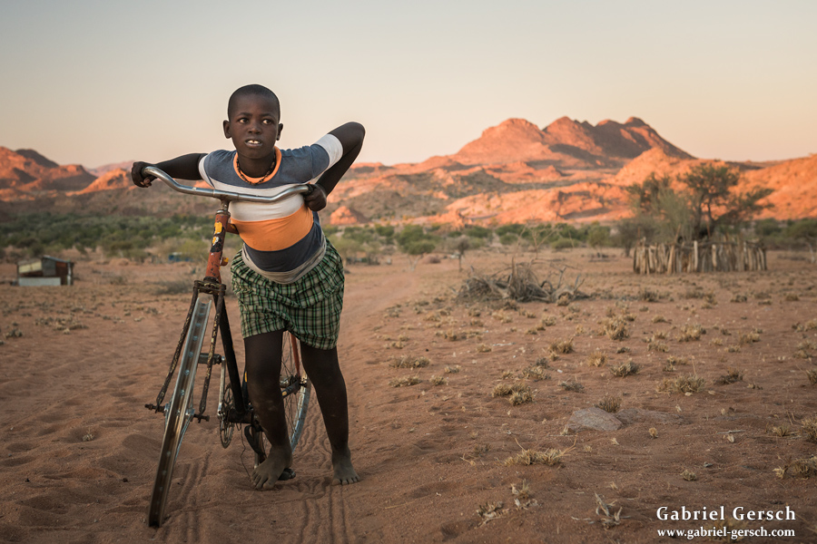
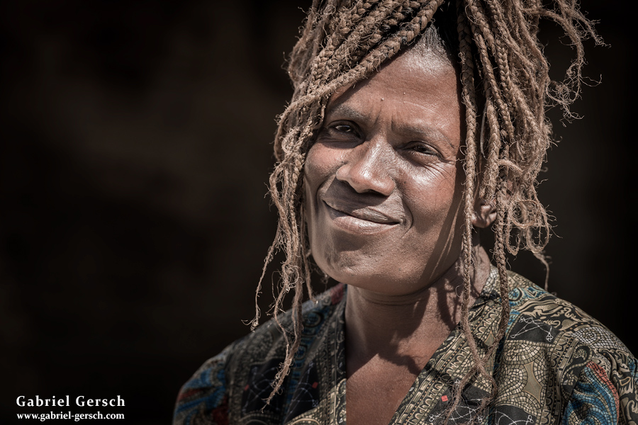
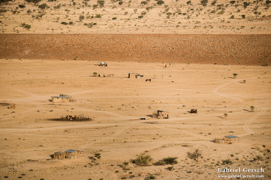
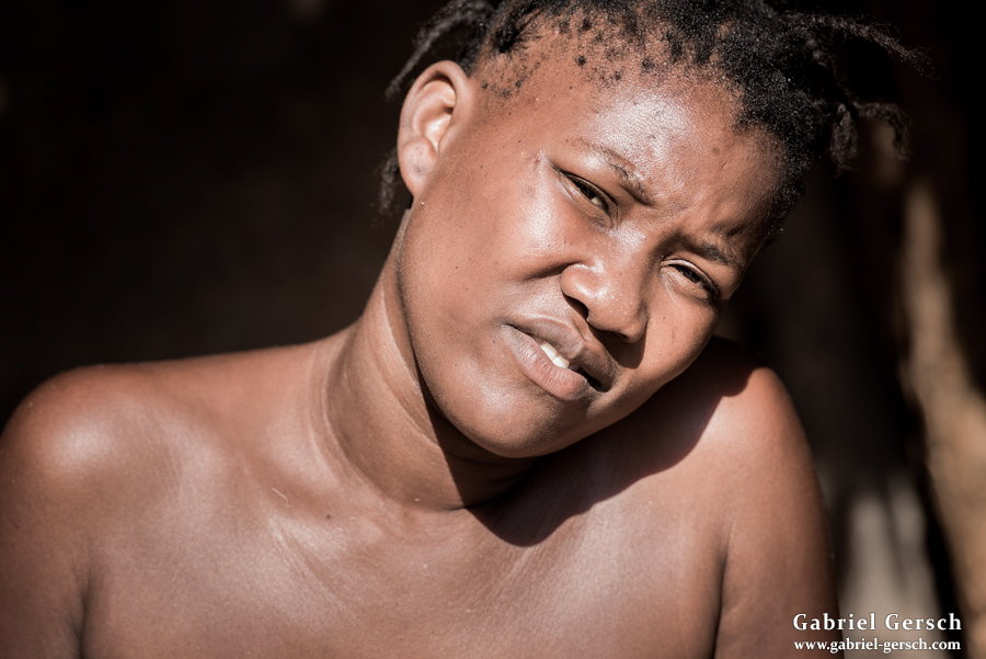
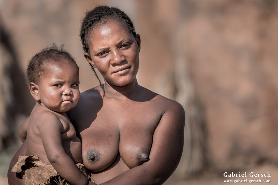
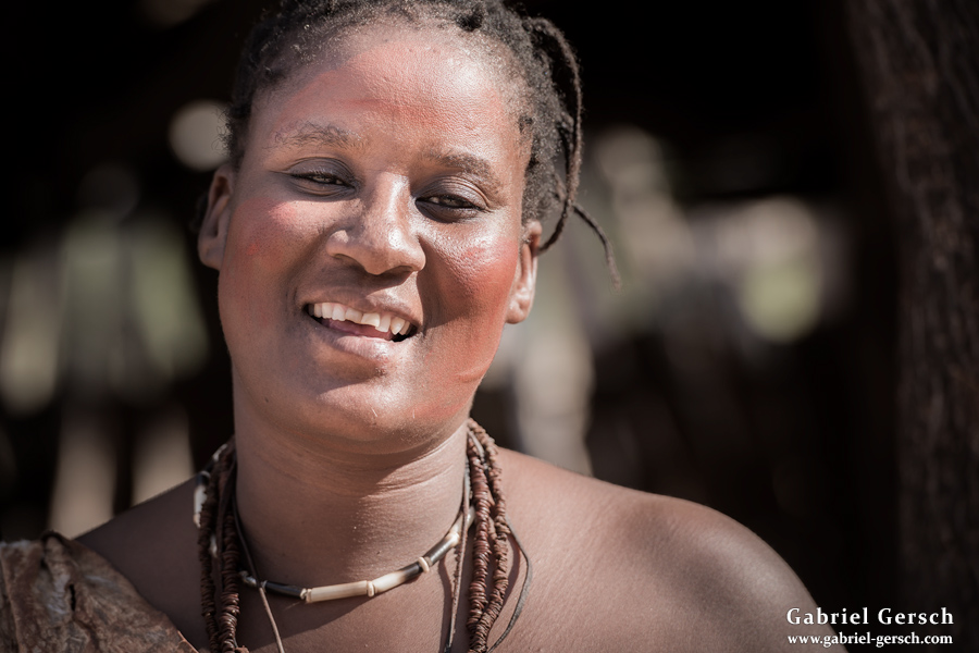
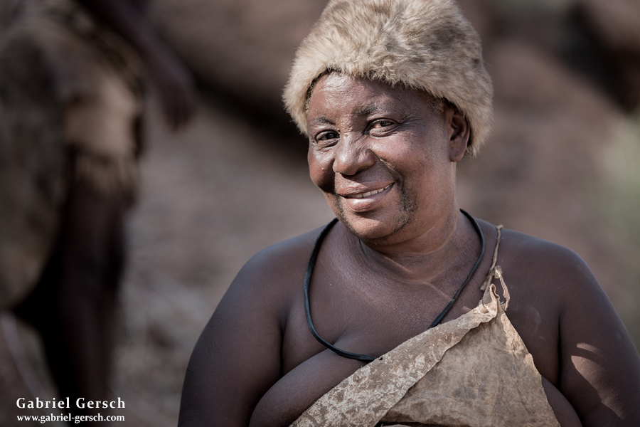
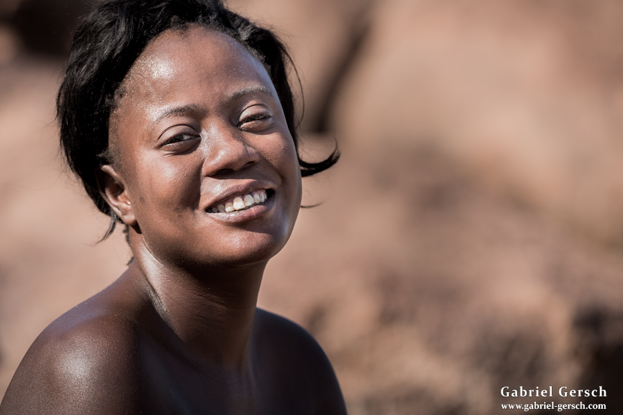
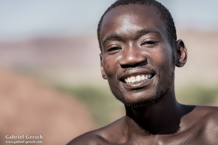
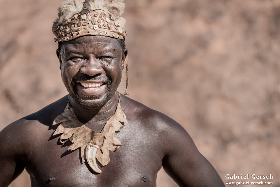
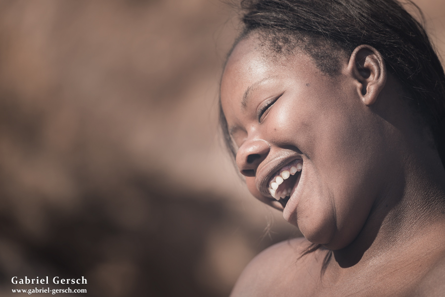
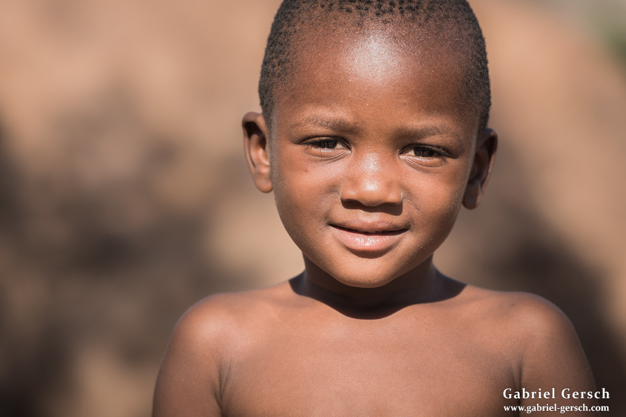
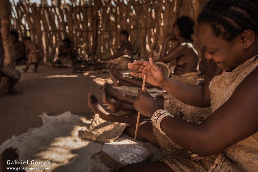
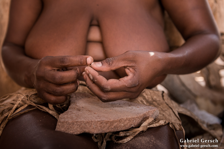
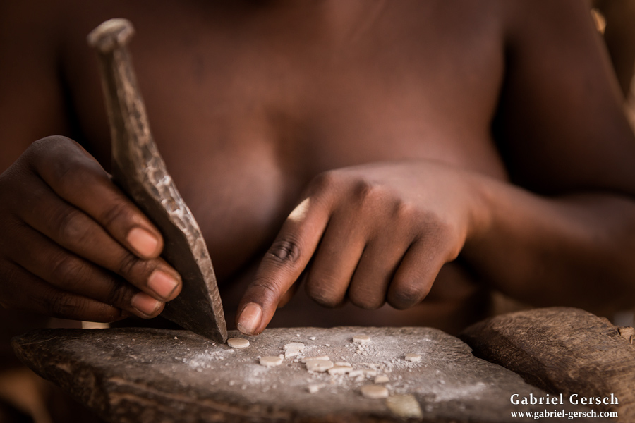
From there we went to the Damara Living Museum, a place where Damara people live like they used to live hundreds of years ago. There they explain the culture of their ancestors to others. Most of the museum’s staff lives in a village nearby, only one elderly couple actually stay in the artificial village over night.
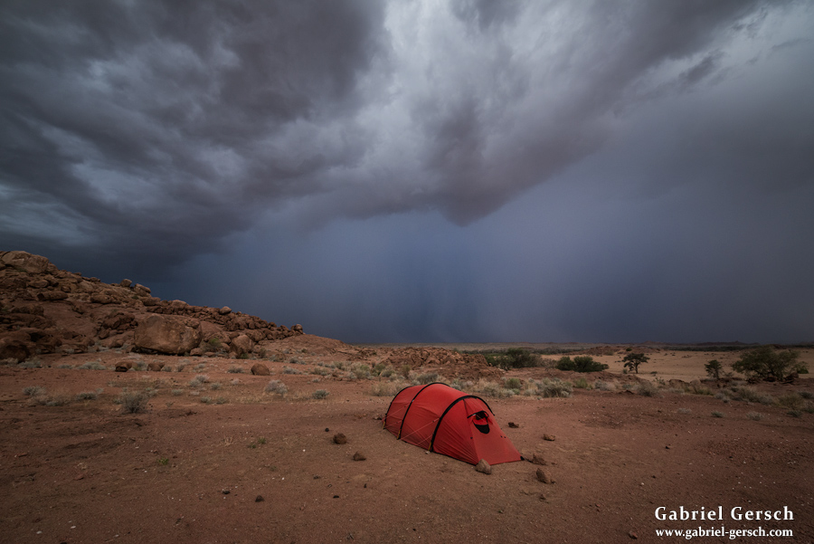
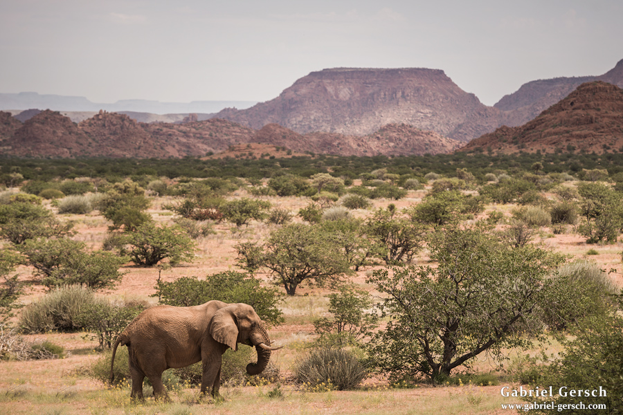
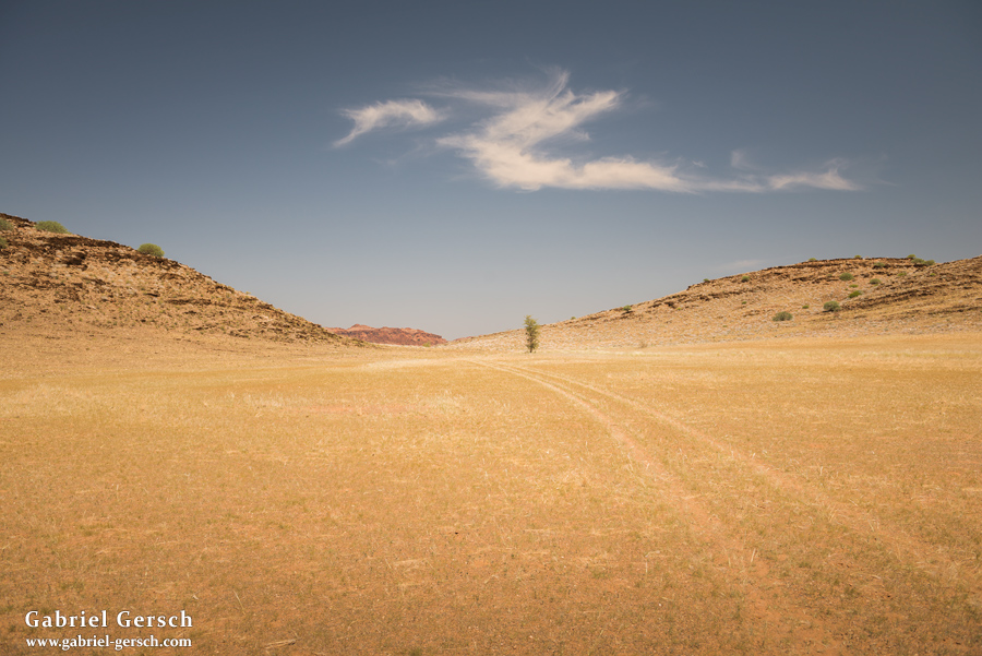
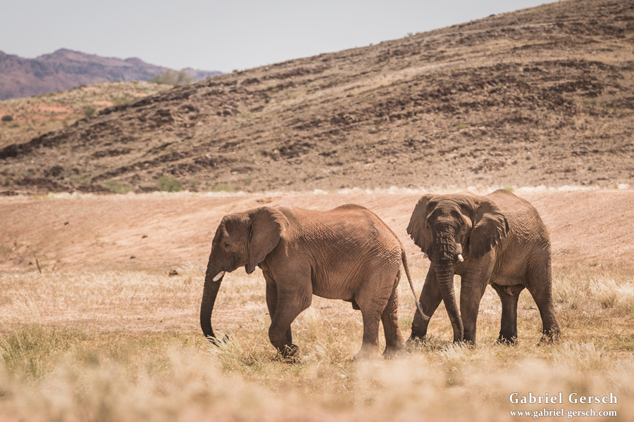
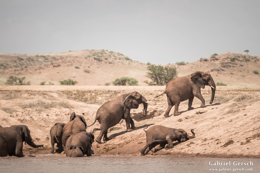
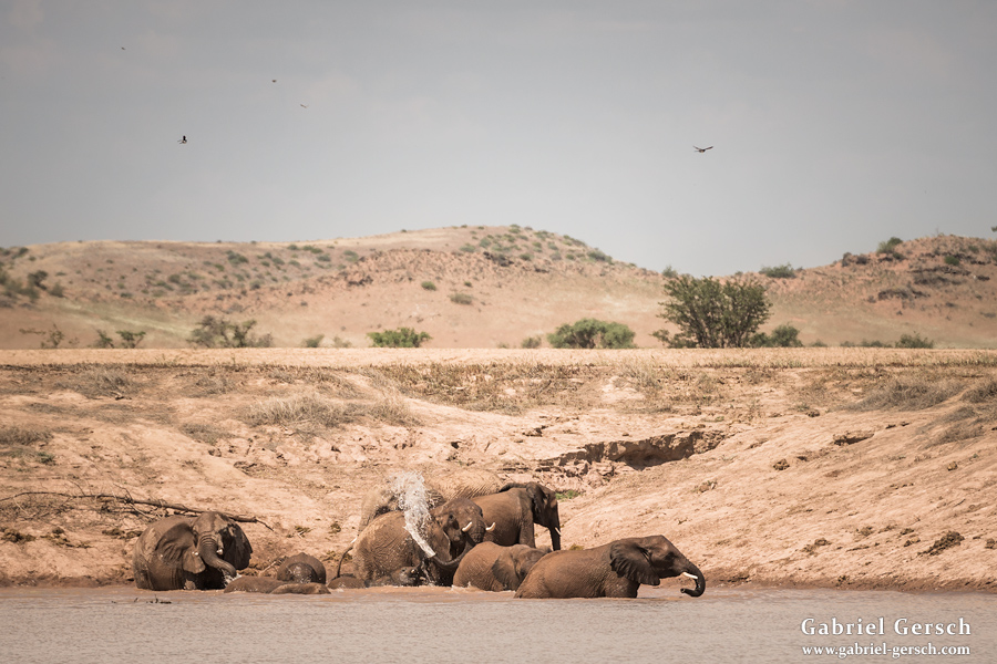
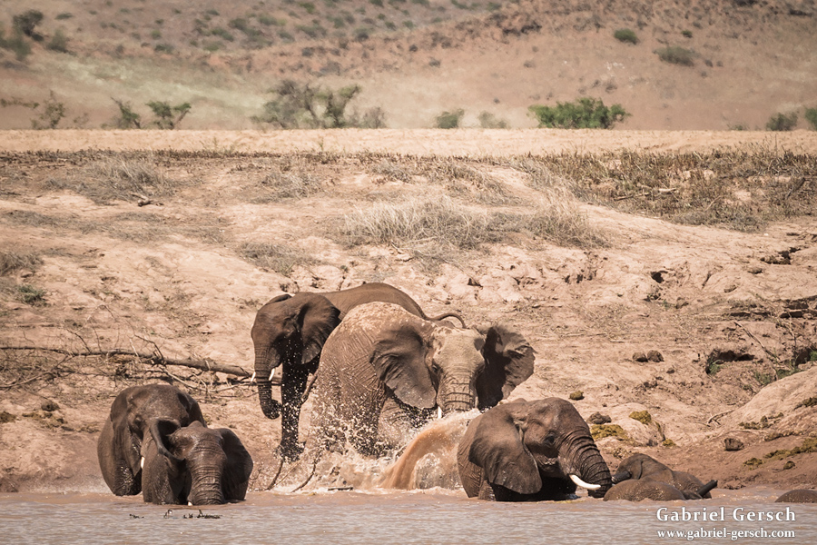
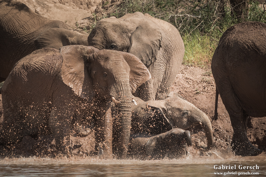
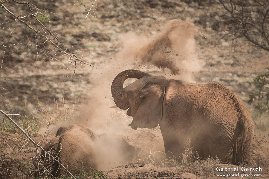
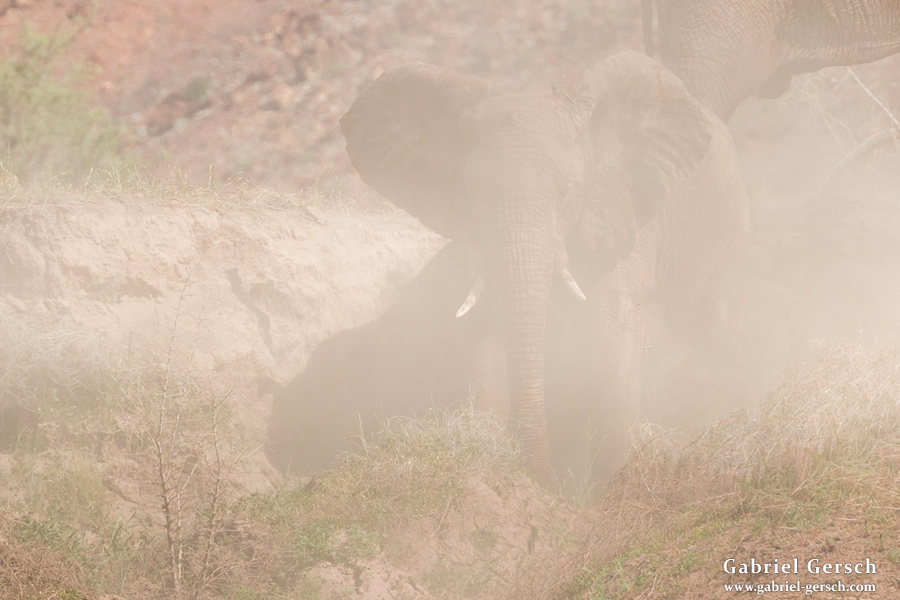
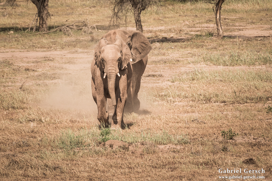
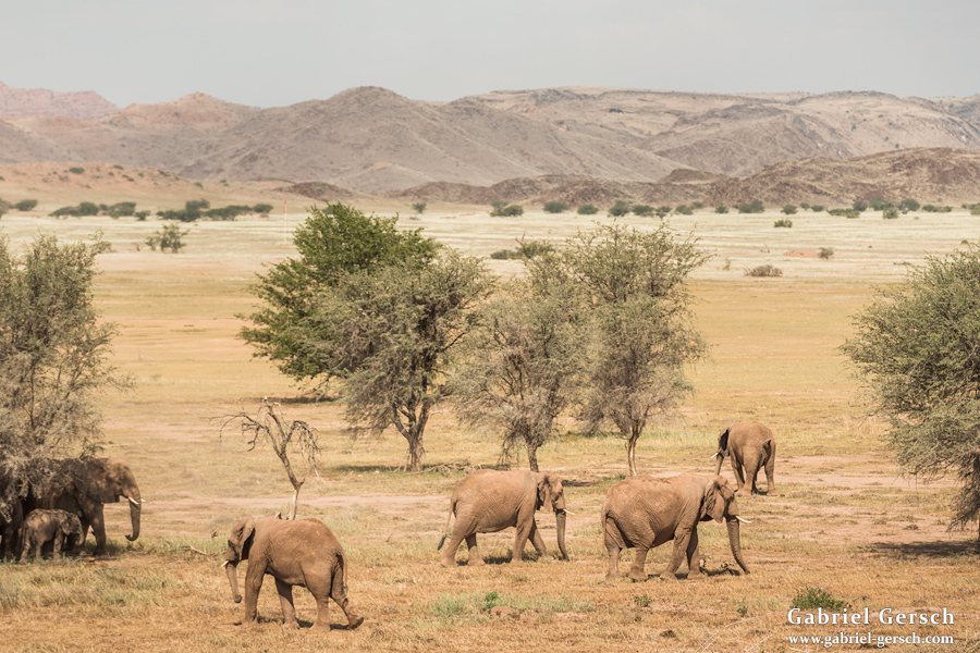
Before we entered the museum on March 16, Anton and I explored some grassy landscapes in the north and were lucky enough to encounter a group of 18 elephants, which we watched drinking, bathing and messing around in the sand for three hours. Shortly before sundown, Anton and I made camp.
There were no other visitors around when I took a tour through the Living Museum the next morning. The staff gave me an in-depth explanation of their ancestors’ traditions concerning areas such as making fire, cooking, pharmacy, dancing, singing, playing games and other things. Since it was only me and the staff there, we also engaged in controversial conversation about tourism in Namibia and the changing life styles of the local tribes. Of course they had no problem with me taking pictures of them and their museum.
Anton and I arrived back at the Conservancy Office in the later afternoon; our trip was over. After dinner we drove to the nearby village and had a few beer before we went to sleep.
The next day I hitchhiked to Orumue with two German women in their early twenties; from there I took a bus to Windhoek. Gini arrived a day later and the two of us flew home late in the evening on March 19.
Again, the first report already provides plenty of information on trekking adventures in dry areas such as Namibia; please read it if you are interested in doing something similar.
Here are some random facts about my seven-week journey in Namibia:
- My total expenses: 1.750 Euro (€800 for flights, €200 for guides, the rest for groceries, hostels and transportation)
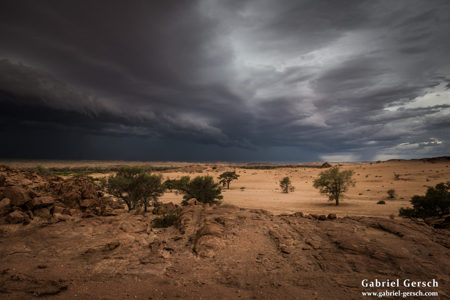
- Rain: It rained two times; on both occasions there were only a few drops.
- Temperatures: In Kaokoland we experienced temperatures up to 45°C at noon, in Damaraland it was a little cooler (probably not over 40°C).
- Water: During my entire stay I only saw two natural water sources: the Kunene River at the Angolan border and a small seasonal stream in the Tsisab Valley.
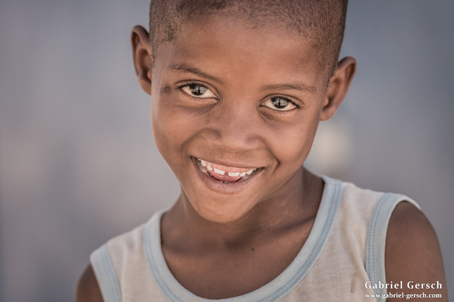
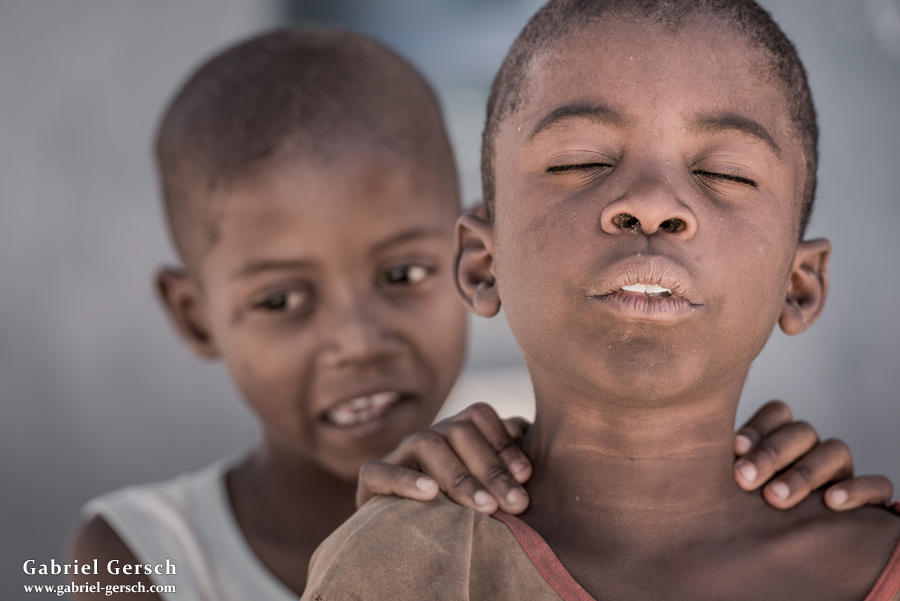
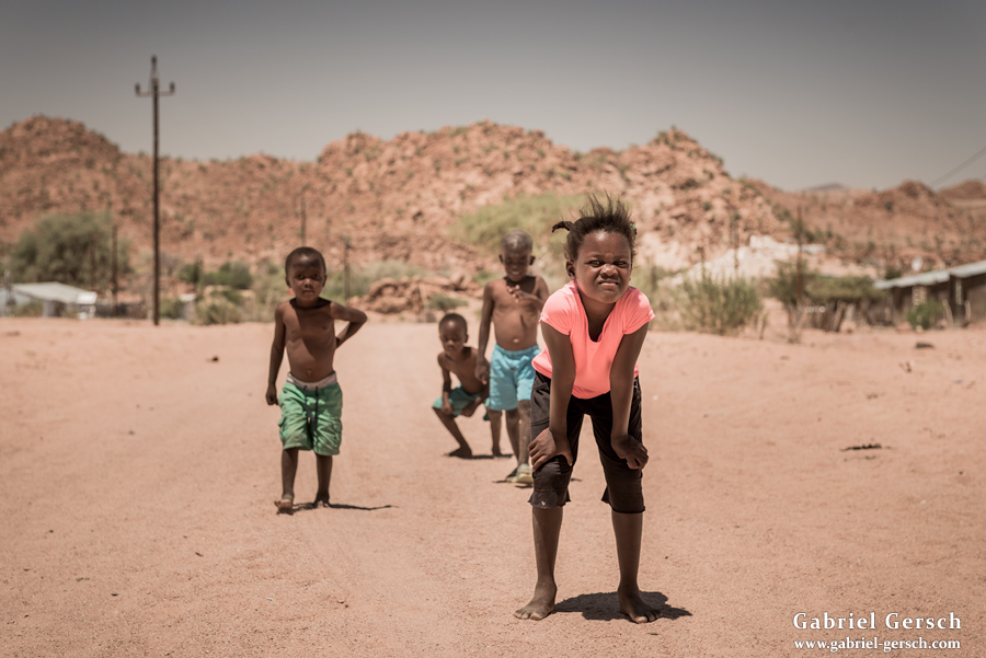
- People: Please read part one to learn about traditional tribes in Namibia like Himba and Ovahakaona. In Damaraland, the people were less poor and they live a more modern life style.
- Risks: I always felt safe. Snakes and scorpions can cause very serious problems, but I was lucky enough not to get bitten or stung. At no time during this journey did I have reason to be afraid of the people around me.
- Other Tourists: We met a few tourists with their vehicles; I guess there are a lot more in the peak season. There were no signs of other hikers.
- Photography: During my time in Namibia I took 6.200 pictures. After sorting through them, I’ve got 650 left, so a little more than ten percent. Since fall 2012, when I bought by current camera, I have taken almost 50.000 pictures, almost all of them on travels outside of Europe.