 Deutsch
2015 Kyrgyzstan: 5 weeks Tian Shan Adventure |
|
| Places | Tian Shan, Kyrgyzstan. Ak-Suu, At-Jayloo, Engylchek Glacier, Maj-Bulak, Musketova Glacier, Sari-Jaz, Kazakhstan, Echkilitash |
| Time & length | August/September 2015, 5 weeks (27 days trekking in a row) |
| Partners | Sofia Matousek |
|
A 27-day trekking adventure through the mountains of eastern Kyrgyzstan. We struggled with difficult passes, snow storms and dangerous glacier crossings; the route we designed was everything but easy. Yet it was one of the best trips I have ever done; a time full of beauty, challenge and adventure.
|
|
The route, as we originally planned it: Ak-Suu – unnamed pass northwest of May-Saz – Enylchek – Kayingdi River – At-Jayloo – Engylchek Glacier – Maj Bulak Glacier – Musketova Glacier – Musketova Pass – Semenova Glacier – Sari-Jaz River – Echkilitash
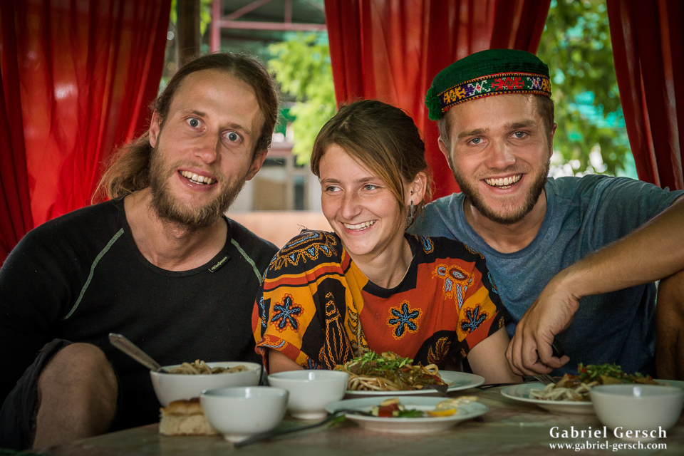
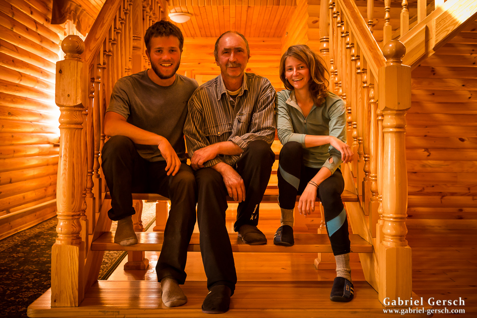
We took the Marshrutka to Karakol and went to Alex’ places. Alex is an American Peace Corps volunteer, working with the local tourist agency “EcoTrek” in Karakol. Besides hosting us, he and his co-worker Azad helped us with planning, organizing and translating; without the two of them our trip would not have gone as smoothly as it did. More about that later.
In Karakol we met David, an Austrian mountaineer, who had 10 days left in Kyrgyzstan and wasn’t sure what to do. We invited him to join us for the first third of our trip: from Ak-Suu to Engylchek over the heavily glaciated mountains with no obvious pass to go over. Can’t hurt to have an experienced climber with us, I thought. David accepted happily.
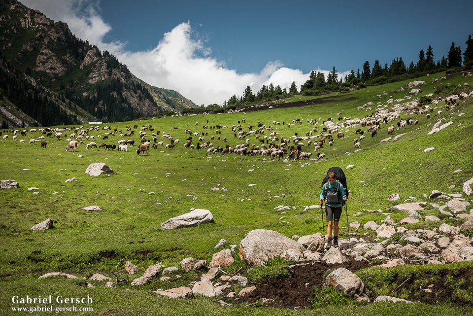
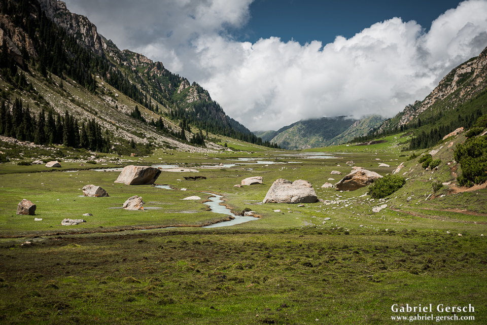
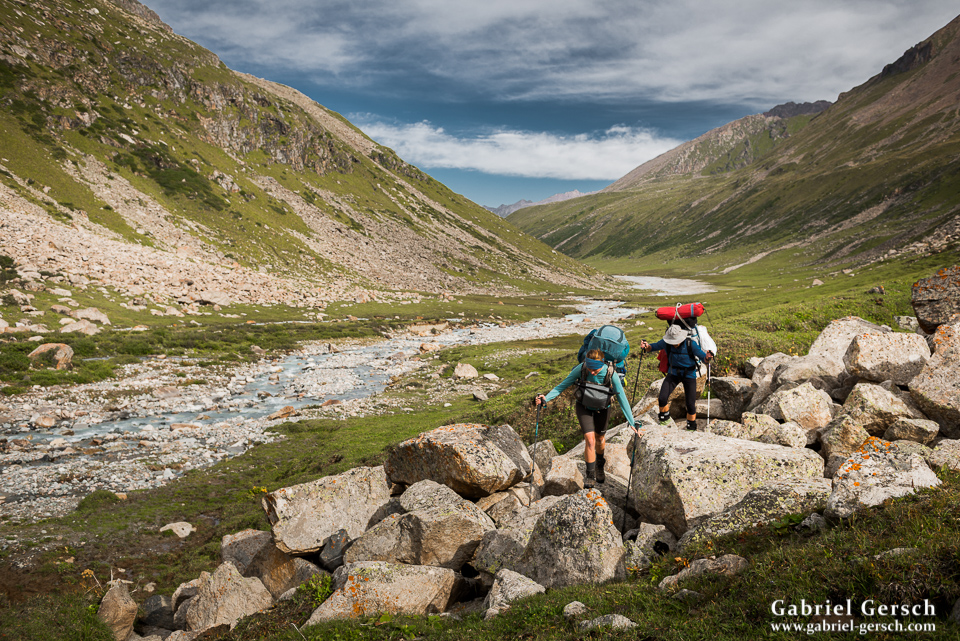
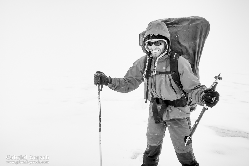
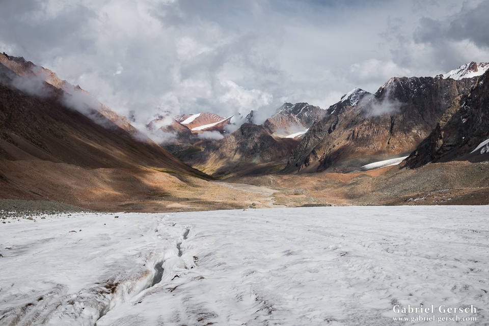
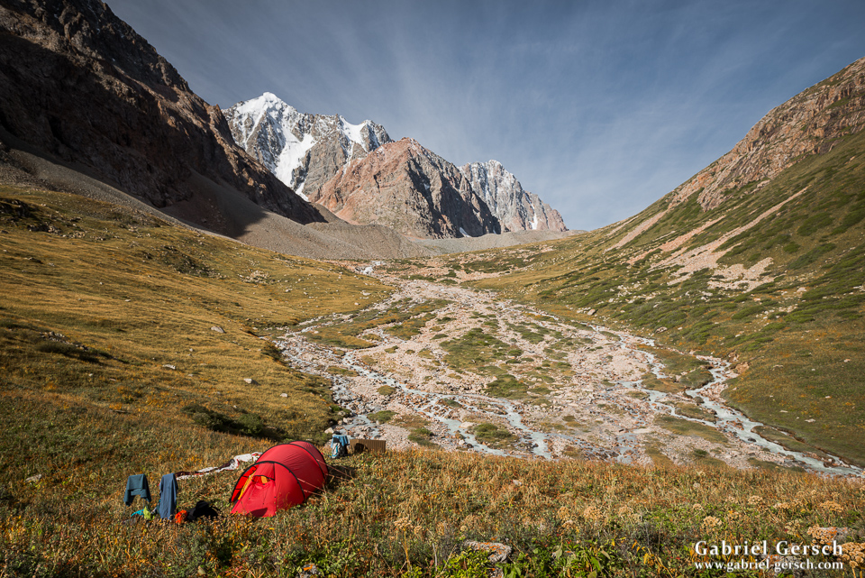
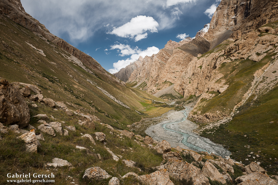
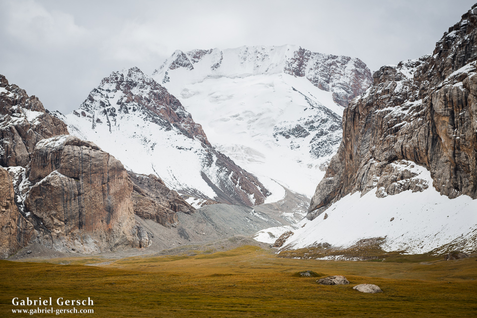
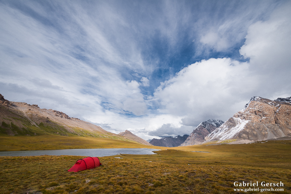
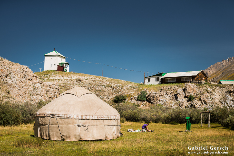
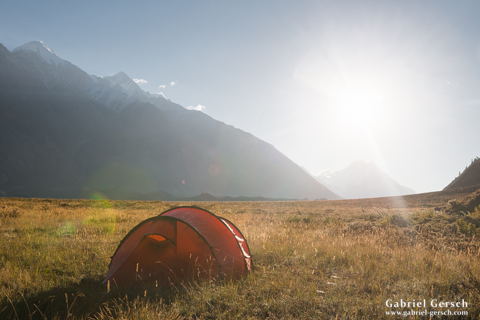
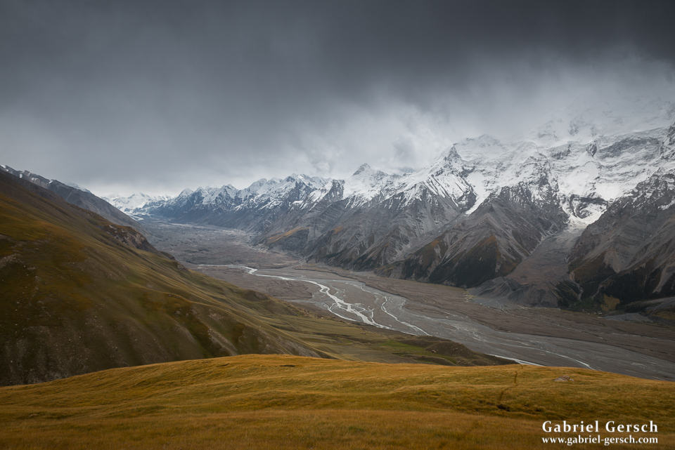
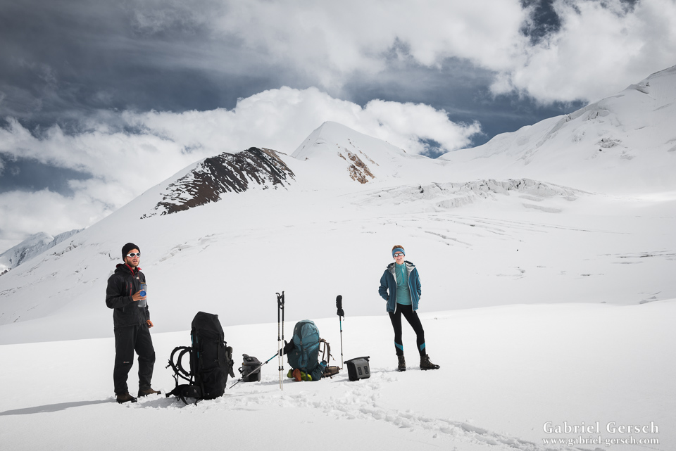
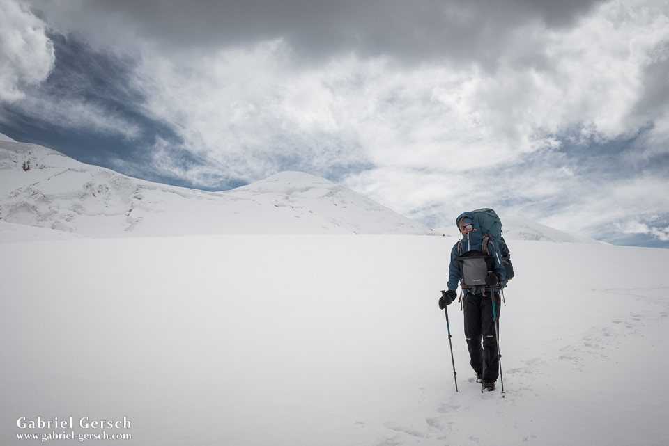
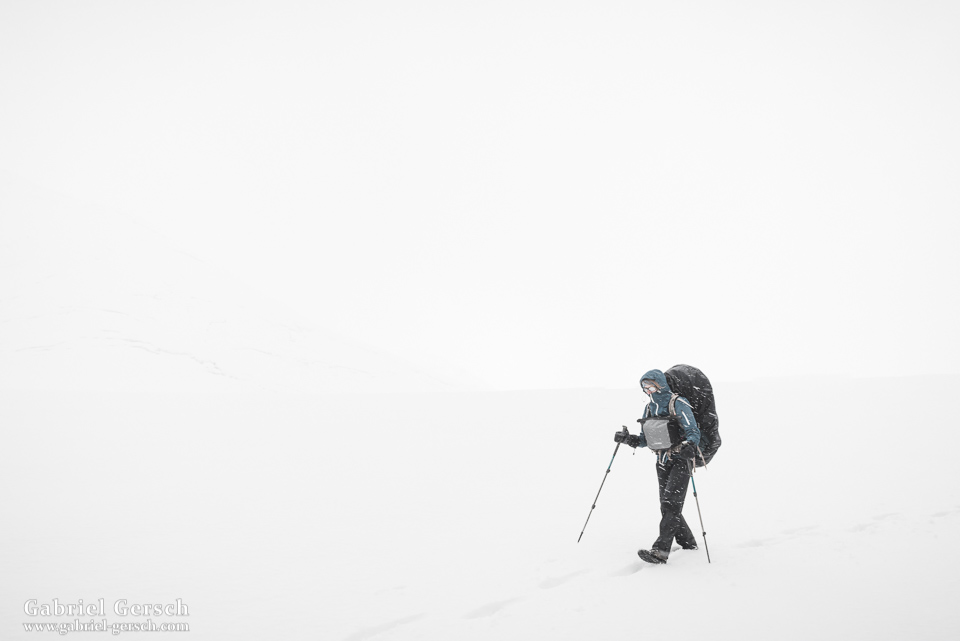
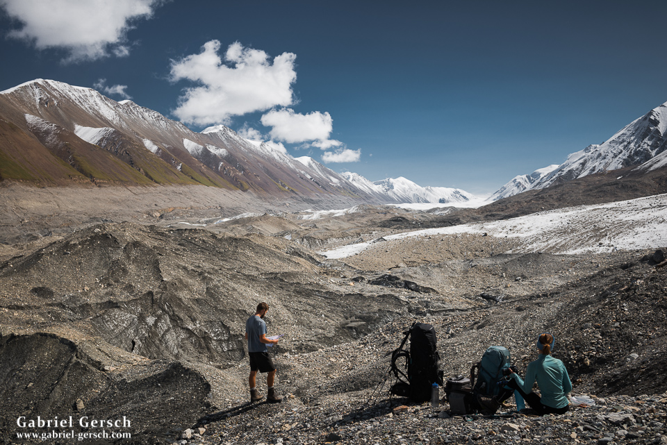
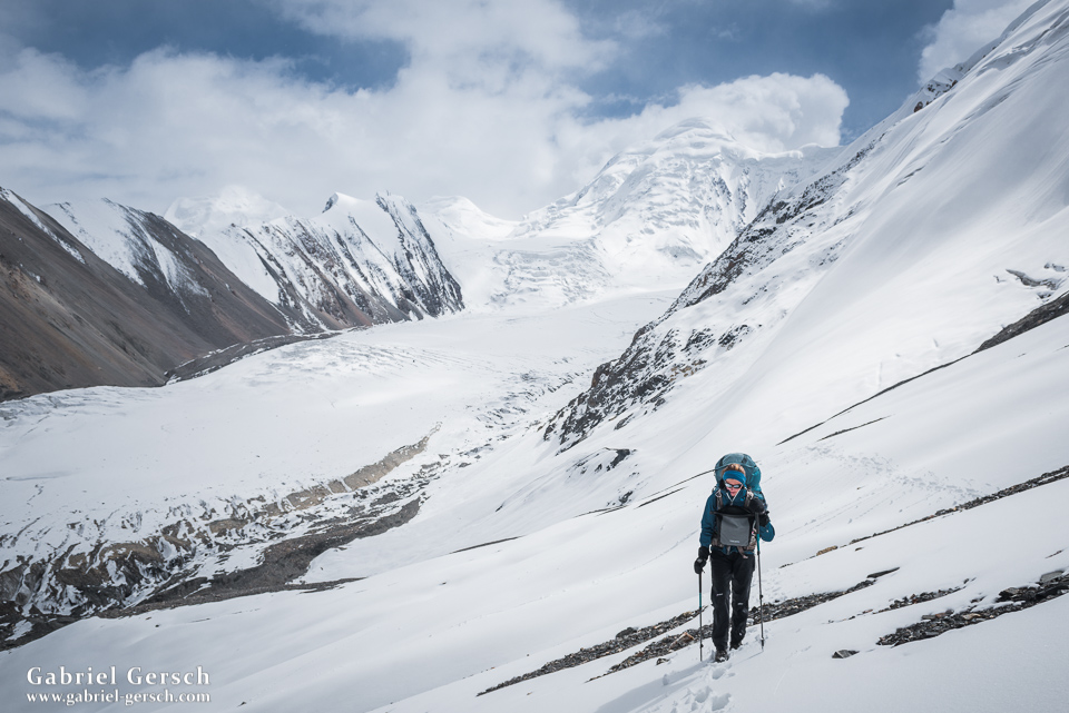
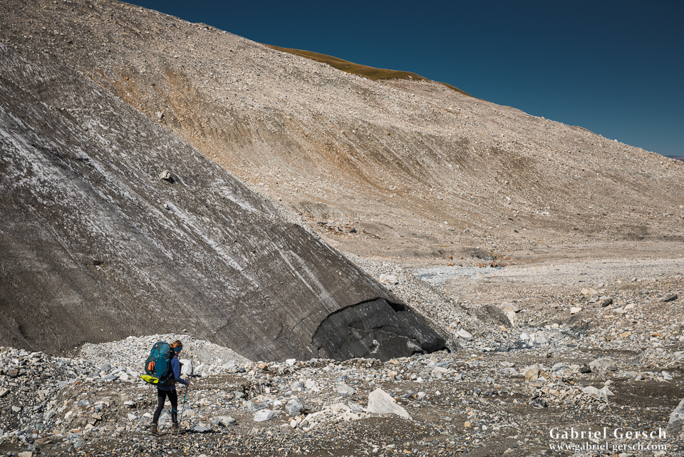
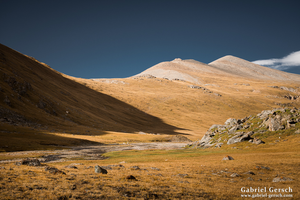
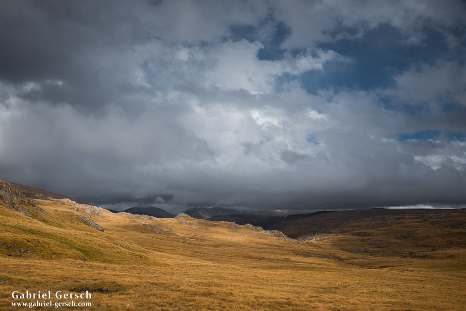
In the morning of August 22 Sofia, David and I started our trip in Ak-Suu, not far from Karakol. We were heavily packed; with all that expedition equipment, food and photography stuff our backpacks were as full as they can be, which was especially hard on Sofia, who was still a little sick from the Kyrgyz street food. So we slowly trekked up the Ak-Suu valley, following the river, until we reached the base of the glacier in the south. It took us almost three days to hike through that green valley, a good place to begin this journey.
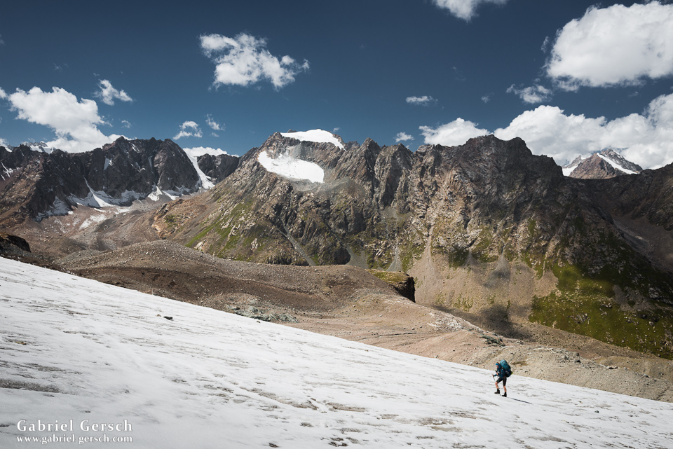
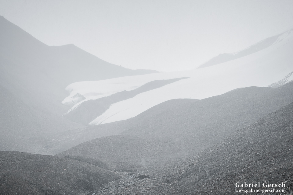
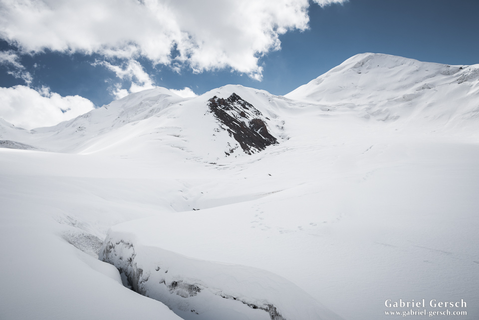
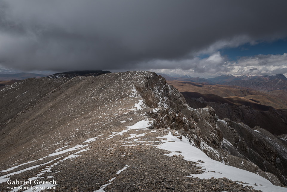
Then we hiked up towards our first pass. I love glacier travel and this one was especially nice since, at least in the beginning, there was very little snow on it. That makes it easy, relatively safe and, of course, beautiful.
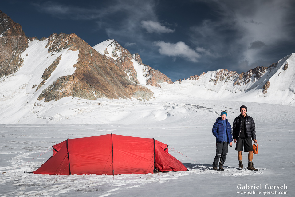
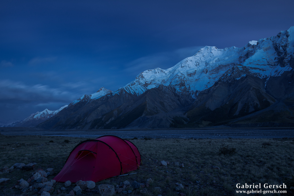
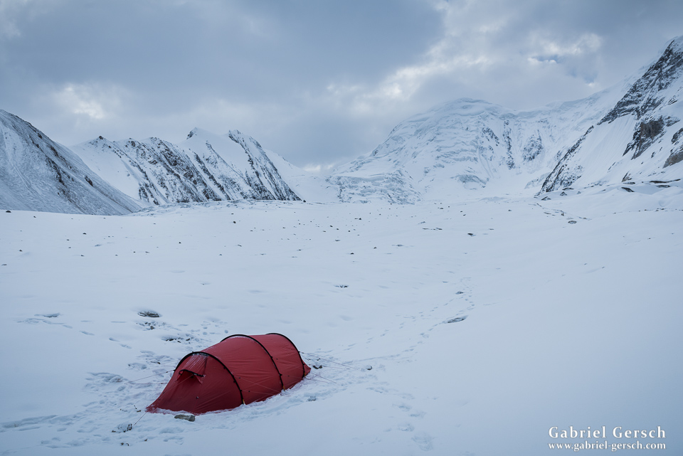
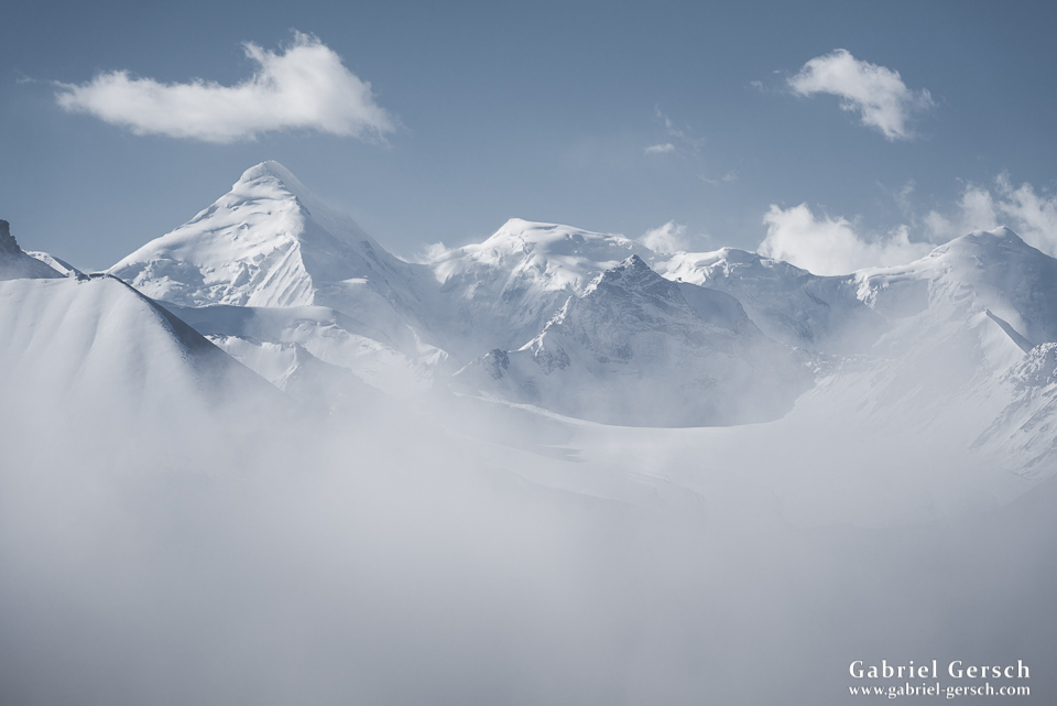
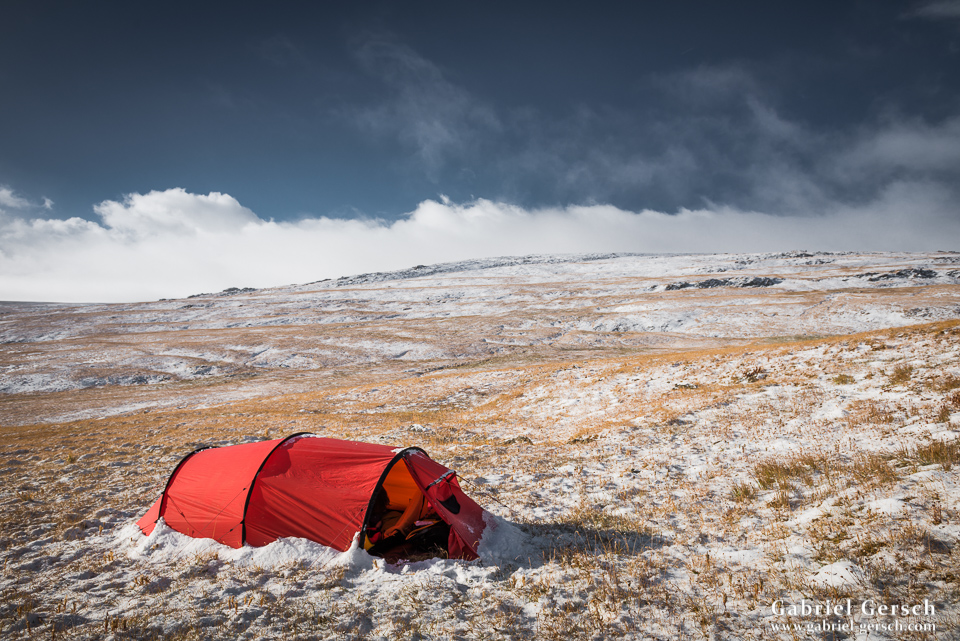
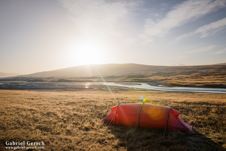
We made it over the first pass, the easy one, and pitched our tents on the glacier at 4.140 m altitude.
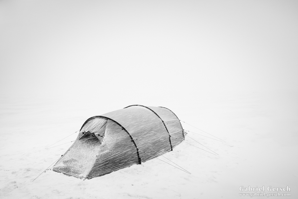
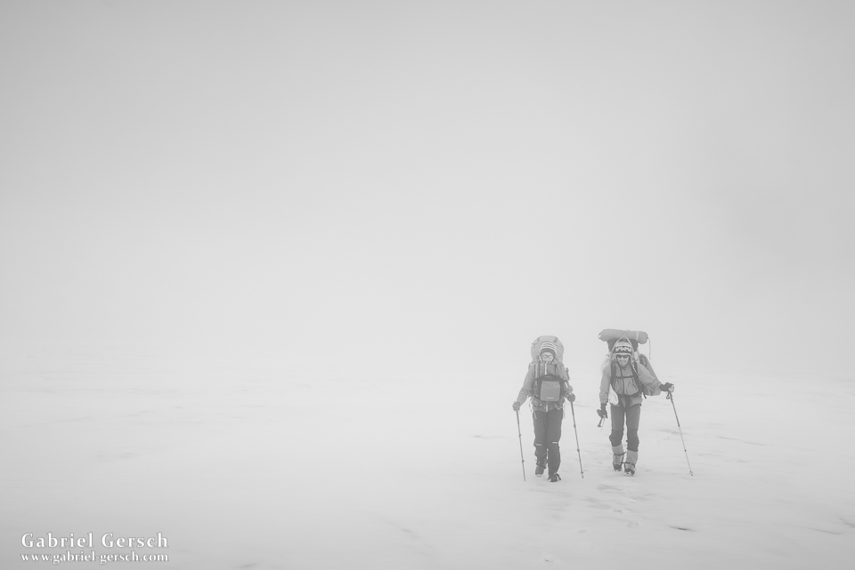
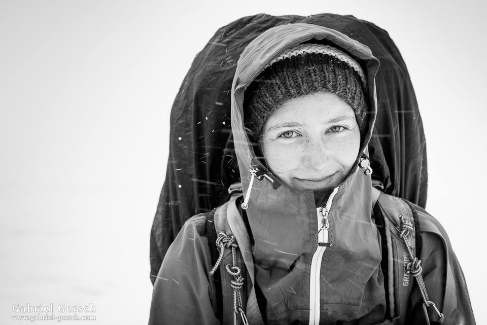
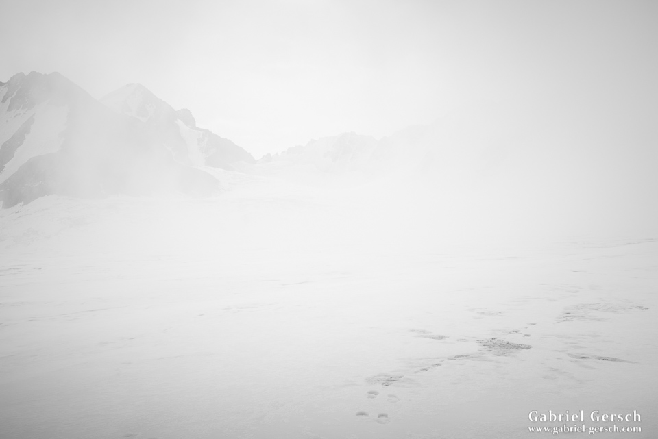
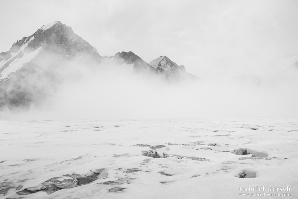
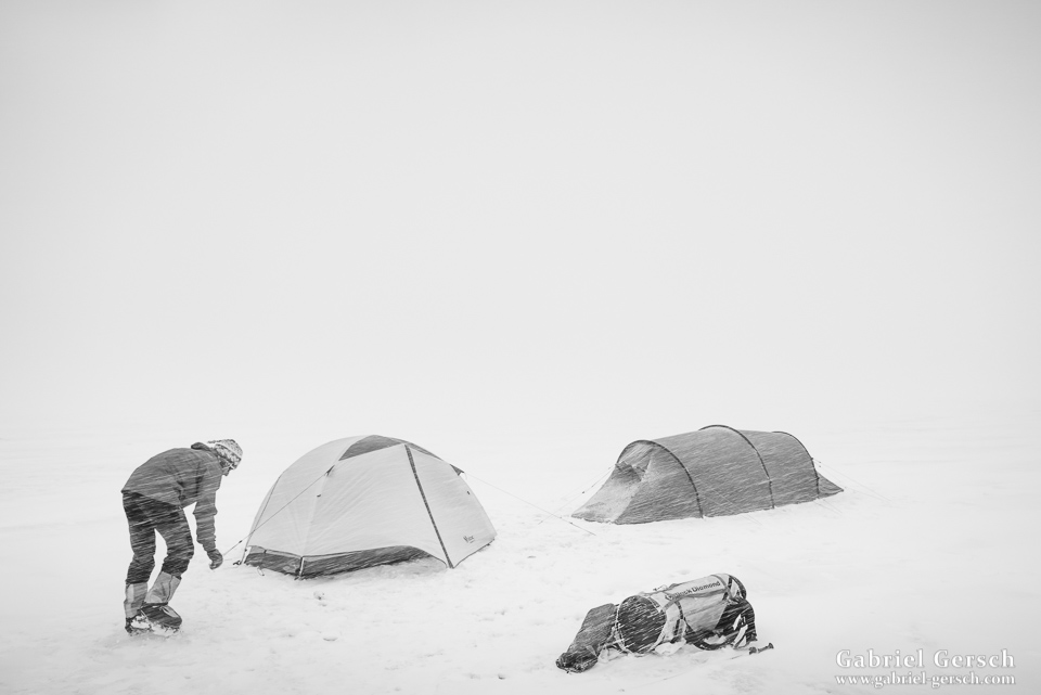
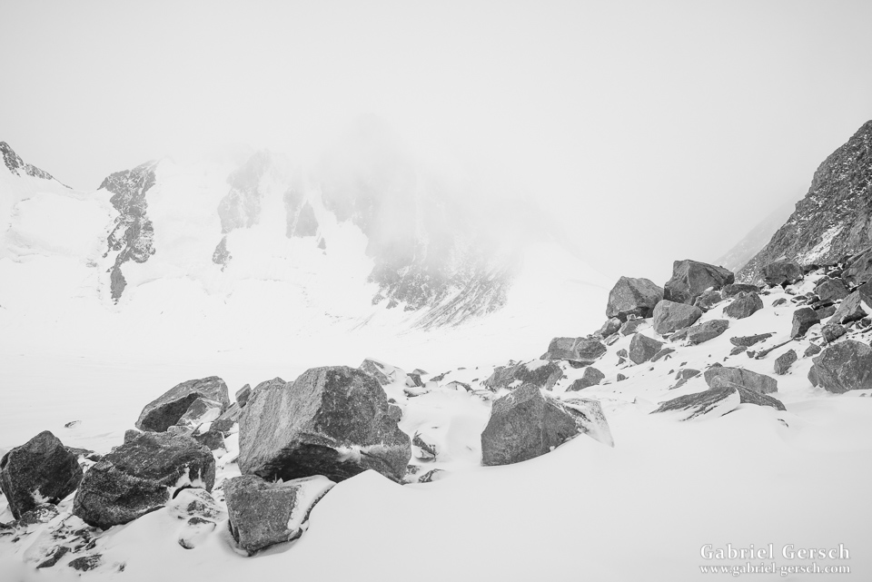
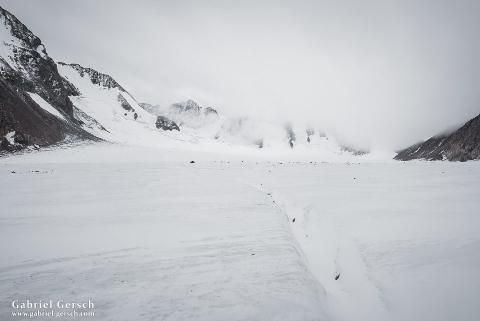
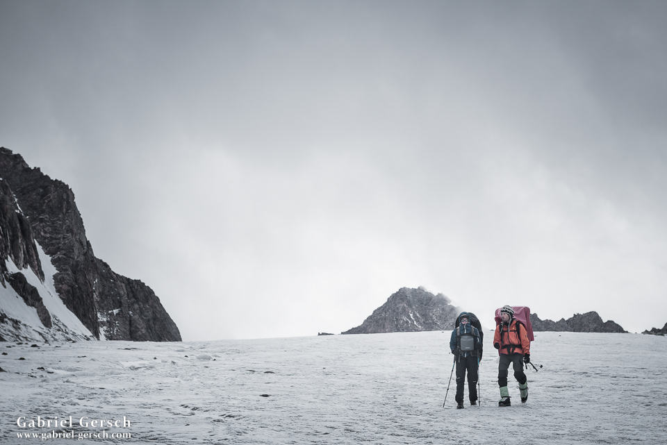
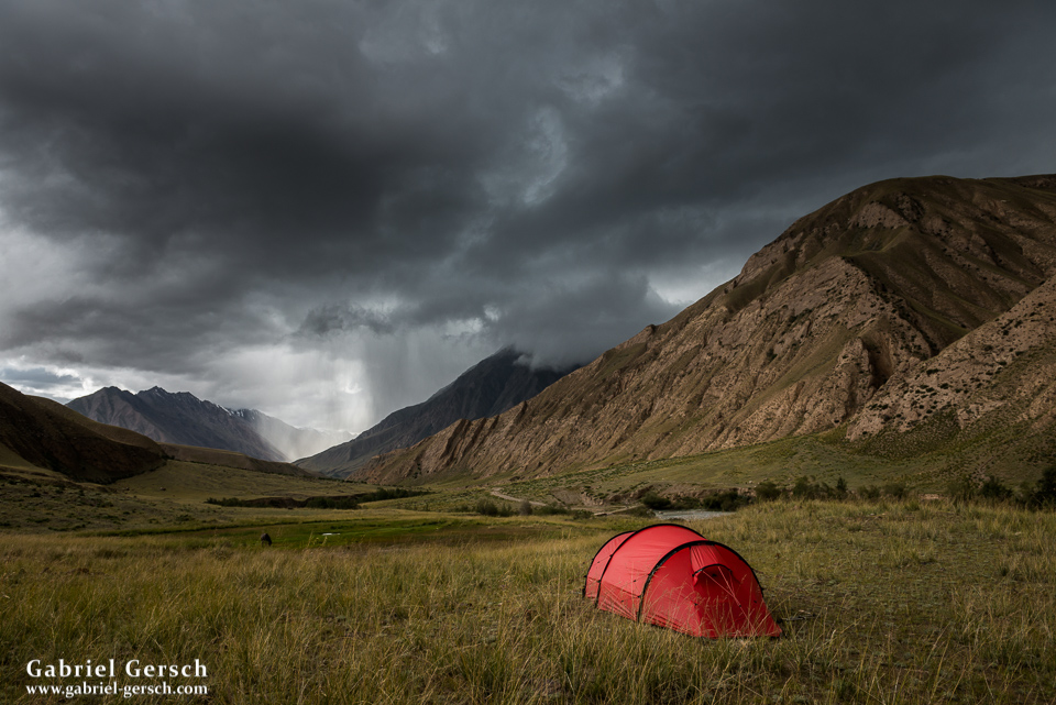
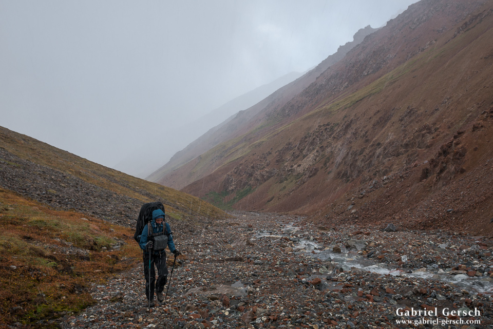
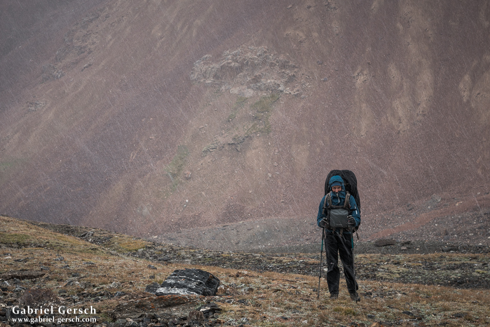
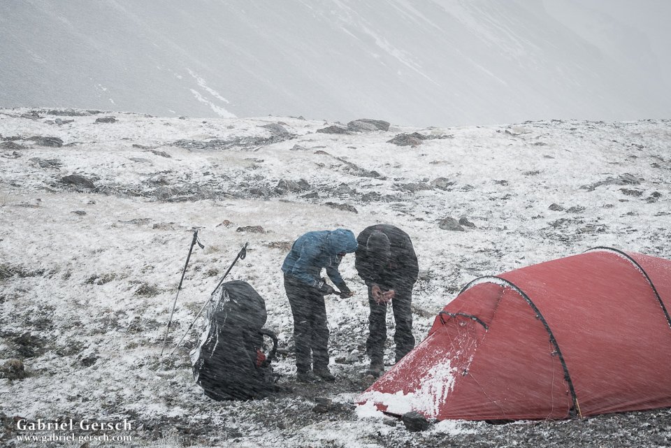
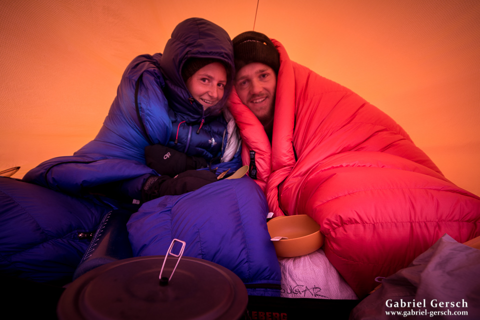
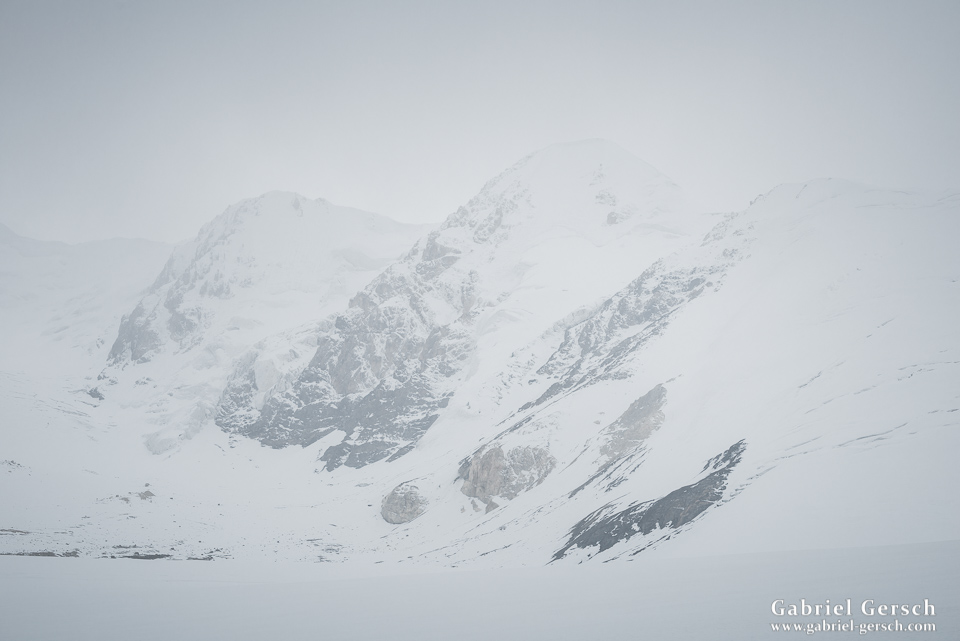
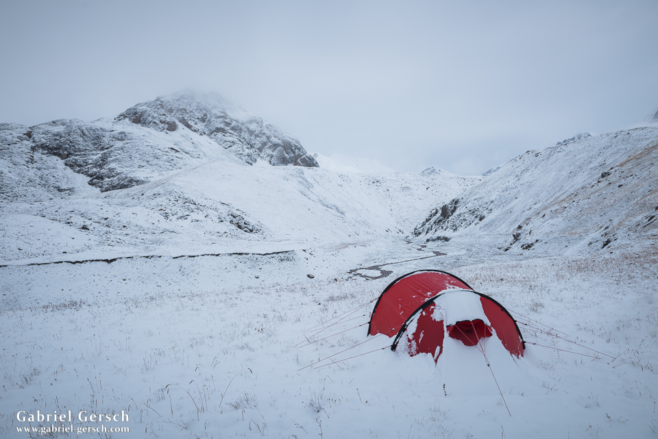
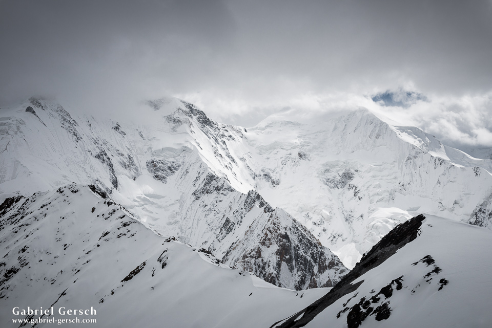
The night was very windy and we got very little sleep, maybe no sleep at all. Still we packed our things and took off towards the difficult main pass in the morning, hoping that the weather would be okay. Well, it was everything but okay. The clouds came down and we were walking on the glacier in bad fog. Deadly crevasses suddenly became a huge threat, even more so when it started snowing. The wind turned into a storm. We followed our own foot prints back to where we had spent the night and pitched our tents again. There was no shelter; we were camping in the middle of the glacier, fully exposed to the worst storm I have ever had in the Himalayas.
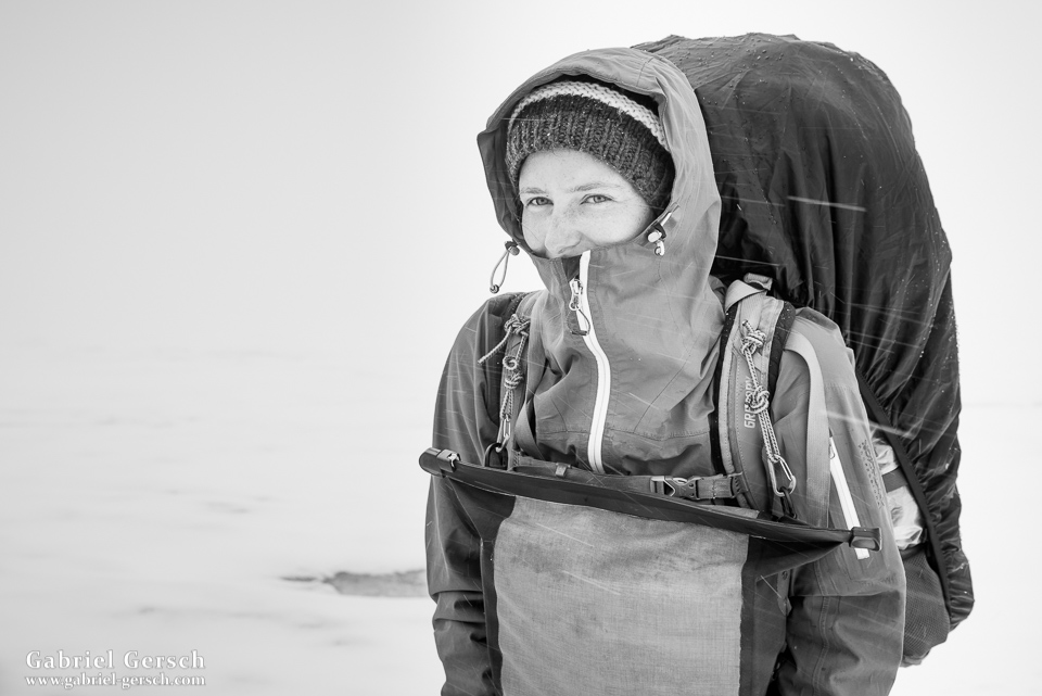
One hour after we had pitched our tents, the storm got worse. Not only that, it also changed its direction. That wouldn’t have been such a big deal if we had been using a geodesic tent, but we were in a lighter Hilleberg “tunnel” – great tent, but not made for strong wind coming from the side. Suddenly we heard David’s voice: his tent had collapsed and he needed shelter, so he crawled into ours. We leaned against the tent poles as hard as we could so that the wind wouldn’t break them. The storm was so loud that we needed to shout at each other in order to communicate. While David and I tried to protect our tent as much as possible, Sofia collected all our equipment and stuffed it into our backpacks. The stakes were coming out and our first pole broke. It was a horrible scenario and we were all scared to lose equipment that we would need to see the next day.
As soon as we were ready, the three of us went down the glacier, hoping to find a protected place somewhere down in the moraine. No need to mention how dangerous this endeavor was: we were walking on the glacier, in the clouds, in the storm, in the snow. No rope, poor visibility, crevasses everywhere. After some time it stopped snowing and the fog lifted. I started taking pictures again.
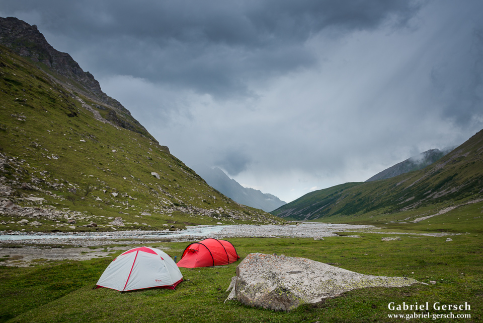
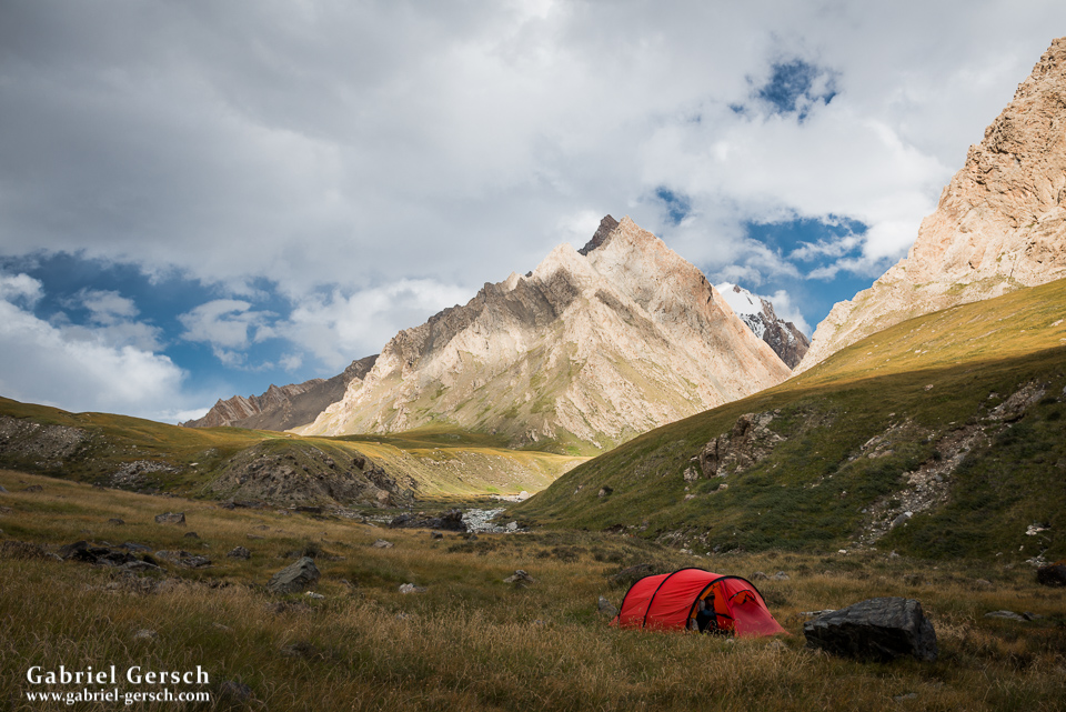
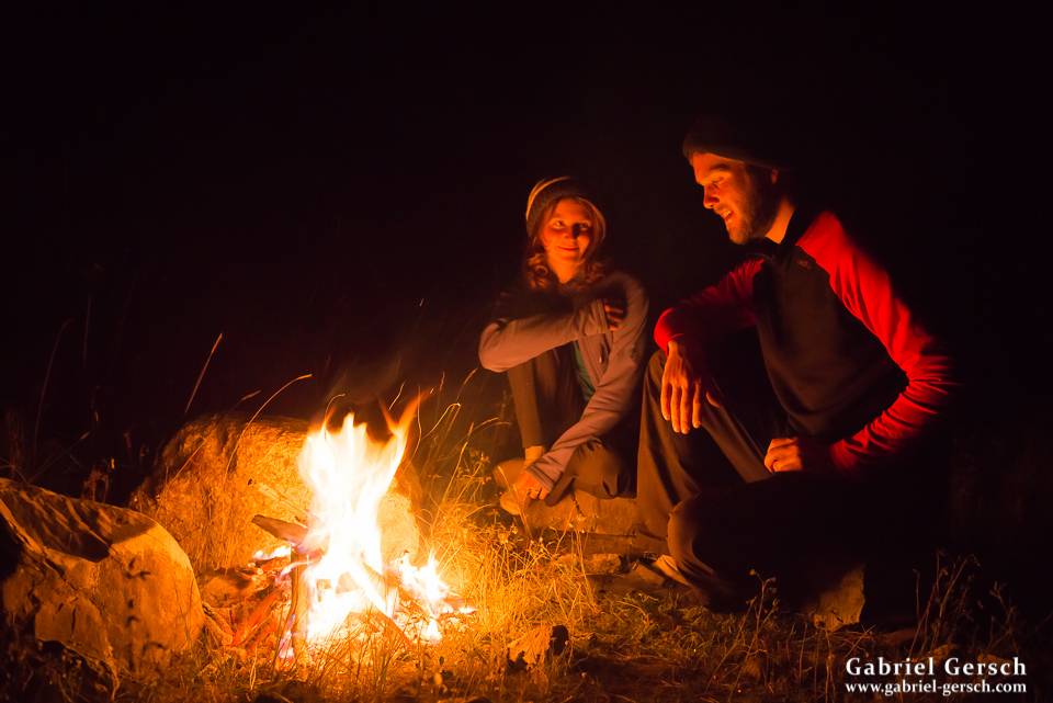
We went a long way that evening. Leaving the glacier and the moraine behind us, we found a nice place to camp in the meadow. David’s tent was destroyed but my Hilleberg was quickly repaired, so we slept in it as a group of three. Although we had all just been through a huge disaster, we had reason to celebrate: we were all alive, not injured and barely lost any equipment. It seemed to be an appropriate occasion to open that (plastic) bottle of Vodka that we brought on this trip.
There was no way I would give up on our expedition, but we had to change the route. I still believe that the pass we originally chose is doable (although we have no information on it and don’t even know if anybody ever crossed it) but certainly not under these circumstances. This is the plan we made: we would follow the valley down to the gravel road and take a vehicle over the road pass to Engylchek. From there, Sofia and I would continue our hike, David would go back to Karakol and fly home to Austria as his time was up. So that’s what we did.
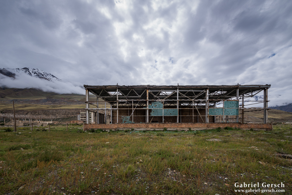
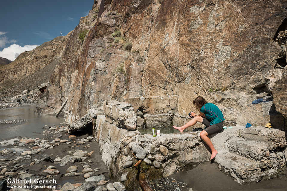
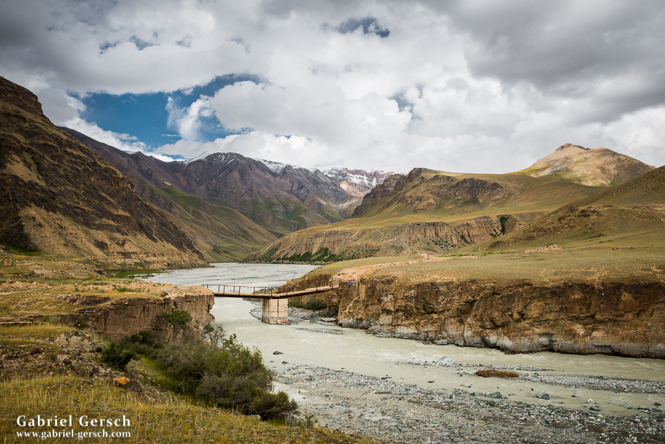
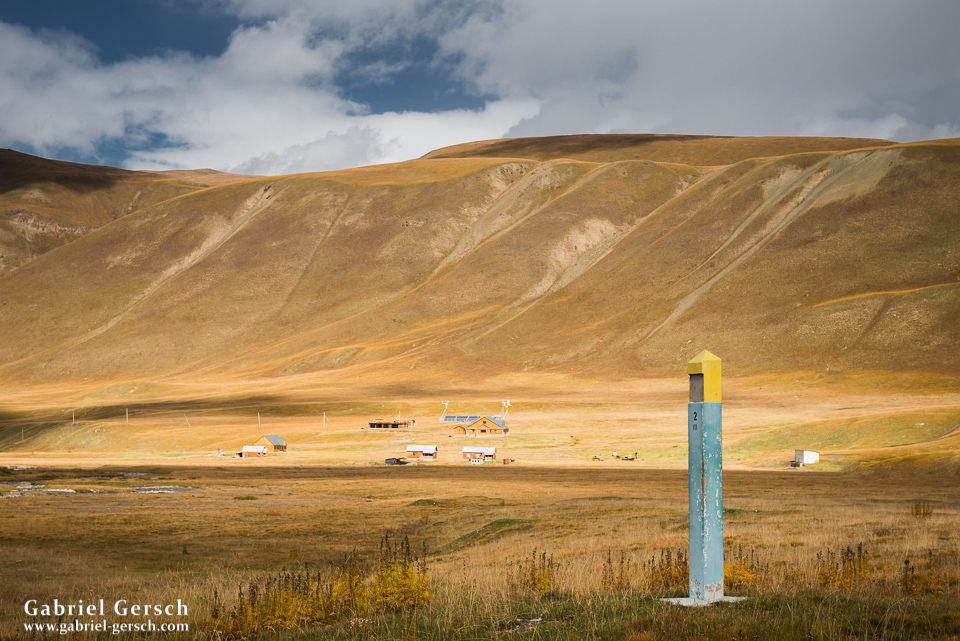
Engylchek is an abandoned mining town; old, desolate, ugly. We camped between some of the industrial buildings that were never finished and left as soon as we could the next morning. Before we could disappear into the wild again, we had to follow the gravel road south for a little while. Suddenly a Landrover Defender showed up behind us, the two Russian tourists inside were just as surprised as we were. We asked them for a ride, just for a few kilometers before we would leave the road and head towards the next ice field. They made some room for us in their vehicle and we kept on driving. I’m glad we ran into the two Russians: first we found some hot springs next to the road and had a bath, then they invited us for lunch cooked in the kitchen of their expedition vehicle and, before they took off back to Engylchek, they left a bottle of Italian red wine for Sofia and me.
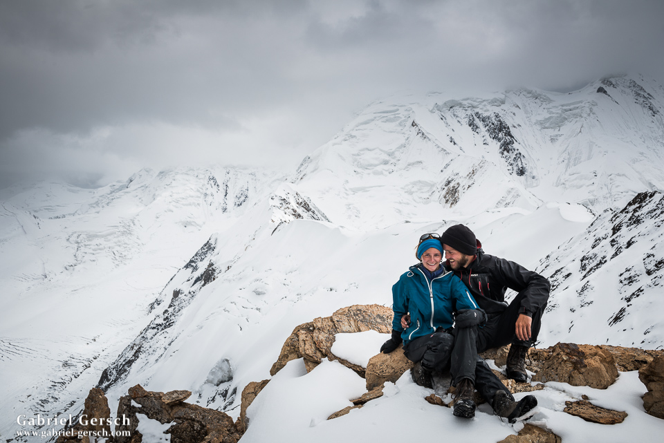
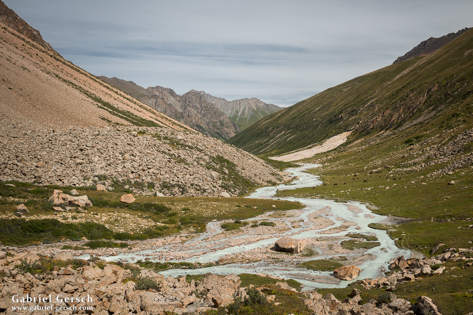
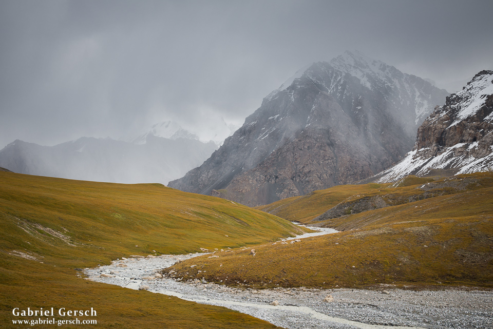
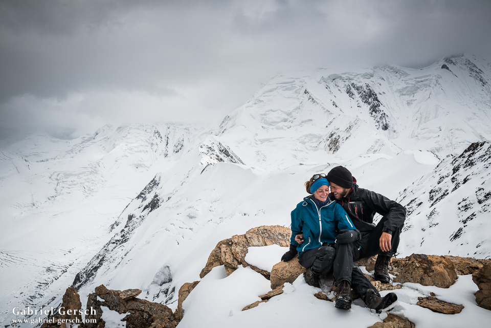
We followed a dirt road up the Kayingdi River for a couple of days and got invited to eat with the shepherd families a few times. Then, on our ninth trekking day, we hiked up to At-Jayloo (At-Djaloo) and crossed that easy pass (3.674 m) in the afternoon of the following day. It was snowing a little bit and the landscape around us was outstanding.
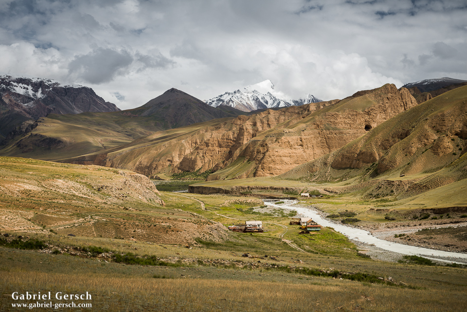
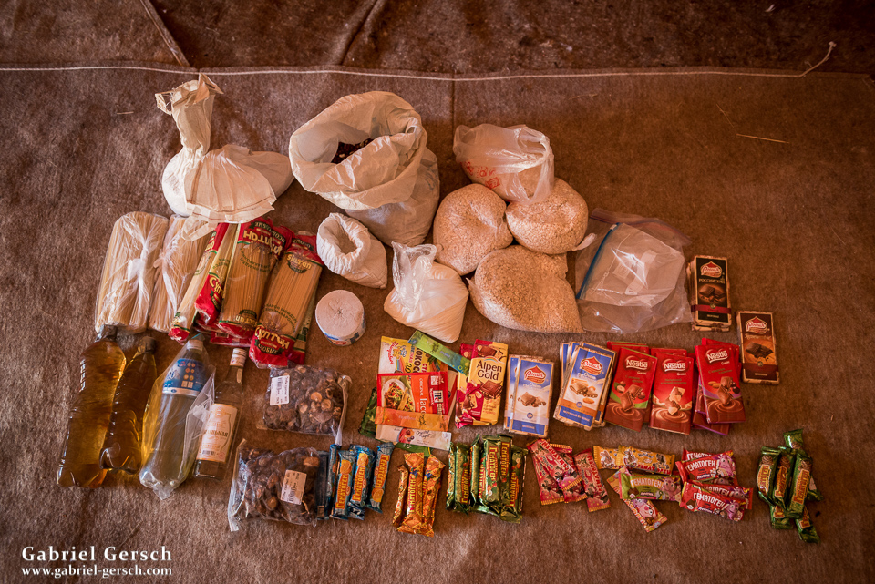
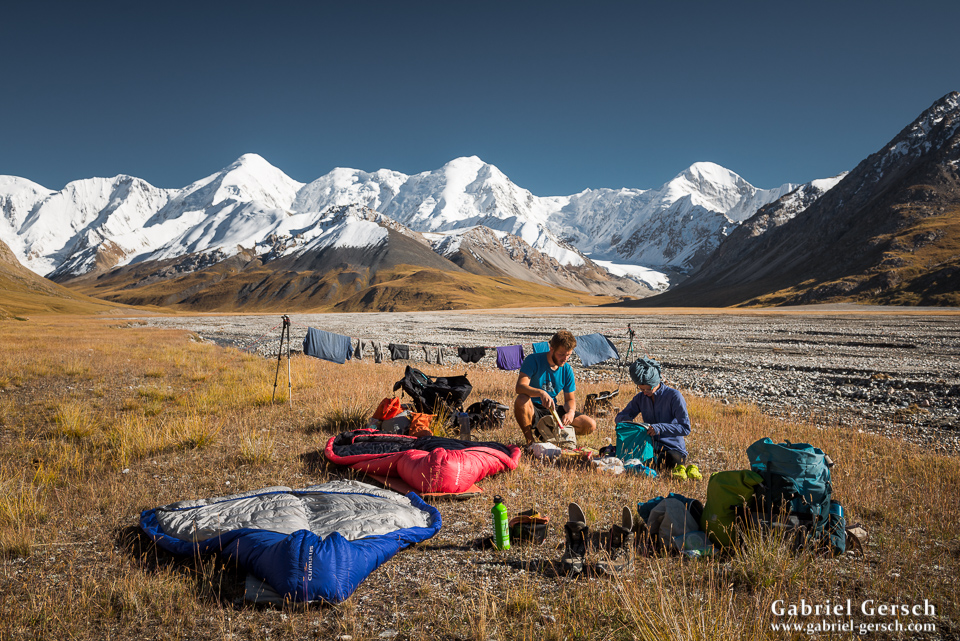
We hiked down from the pass and arrived at the Engylchek River. Instead of continuing east, towards the glacier, to where our route would eventually lead us, we went west to the “Chan Tengri Hunting Camp”. Not far from that camp there was a food cache waiting for us: a few weeks before we arrived in Kyrgyzstan, our friends Chris and Alex had made sure that we would have a resupply on the way, so we could split the long trek into two parts (12+16 days). So we restocked our food supplies and now had groceries for at least 17 days with us. Heavy!
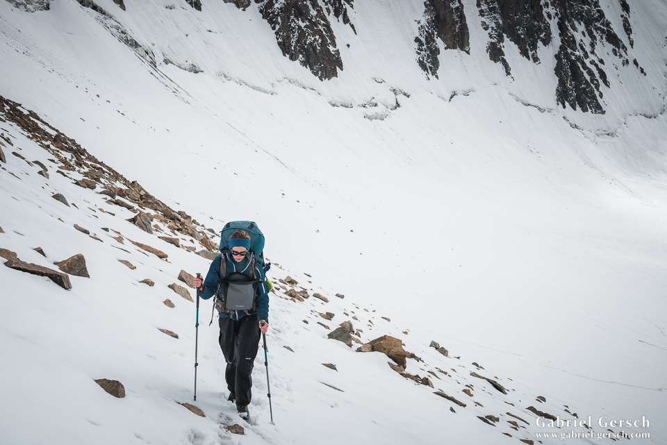
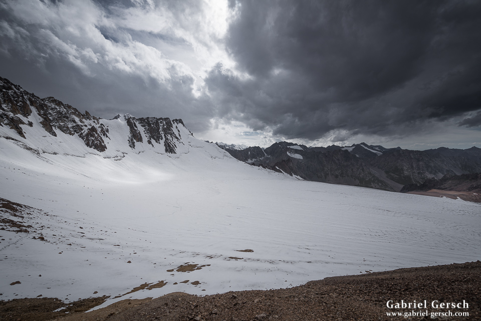
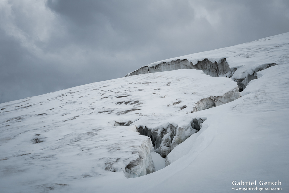
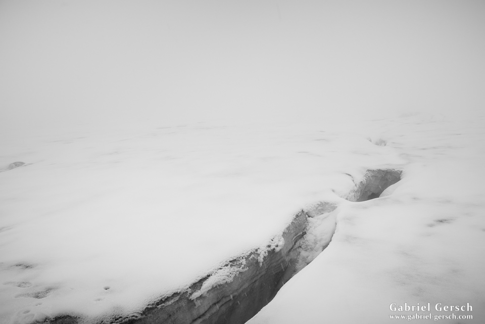
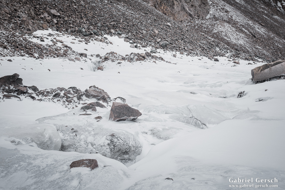
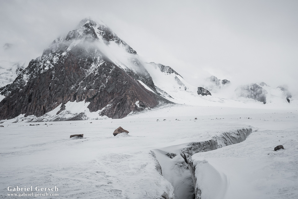
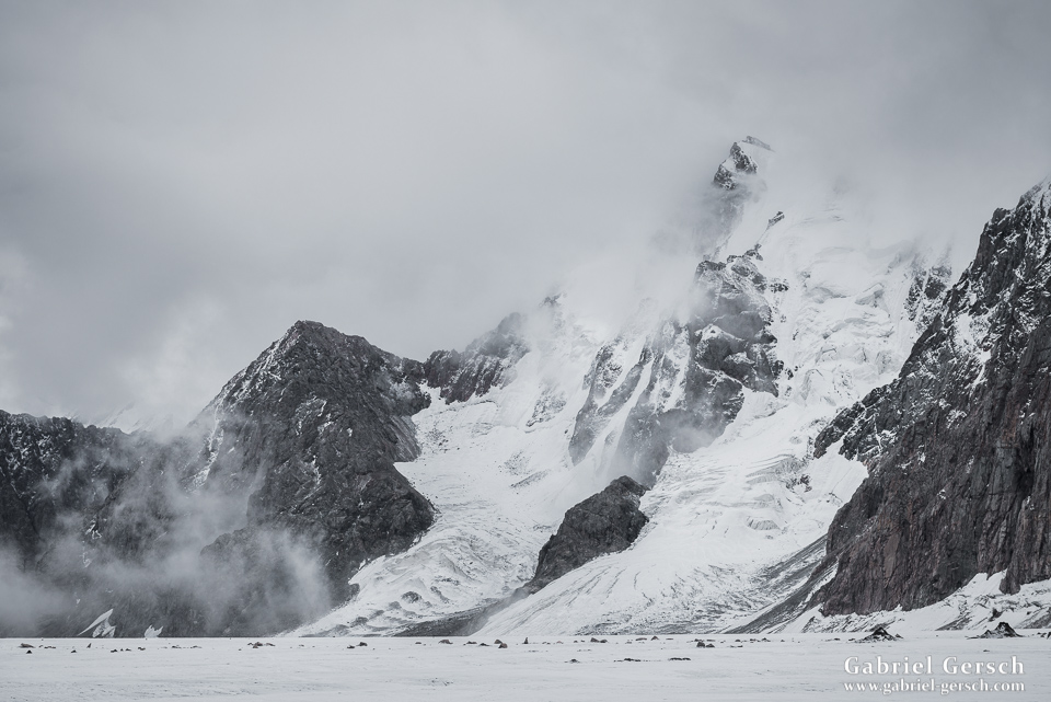
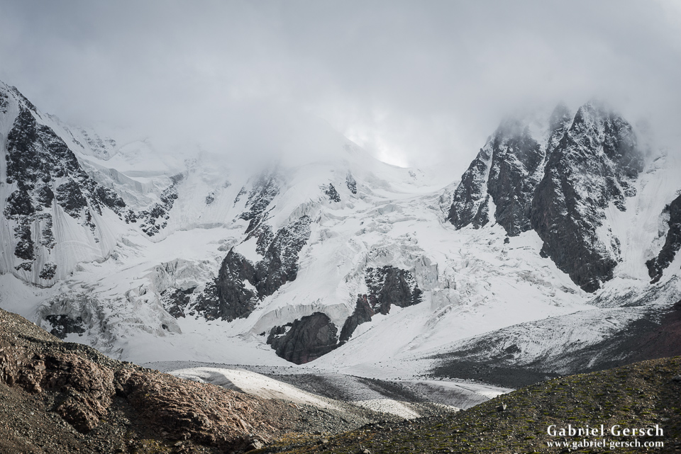
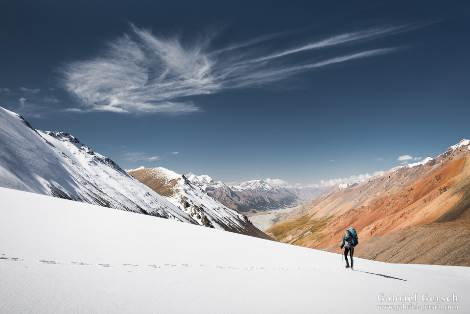
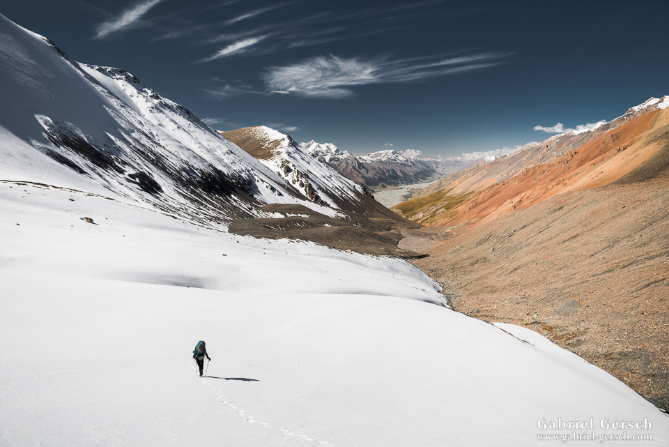
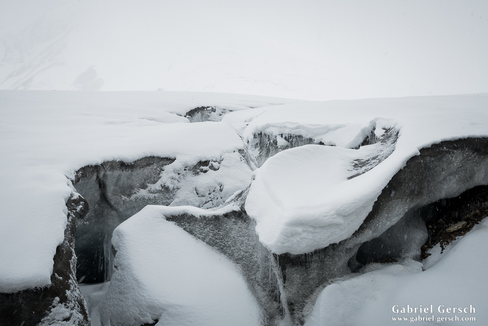
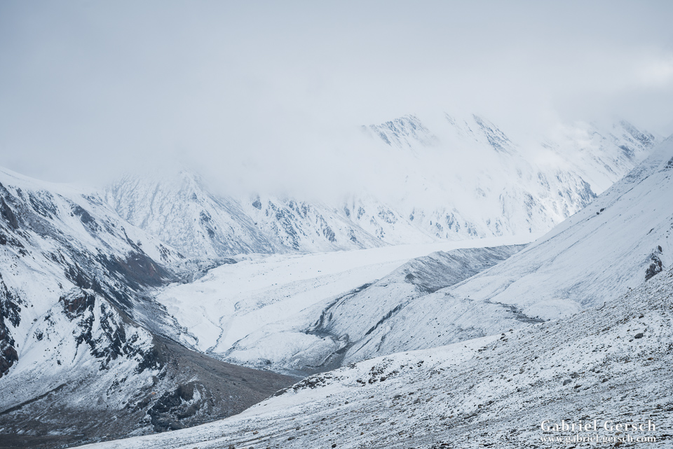
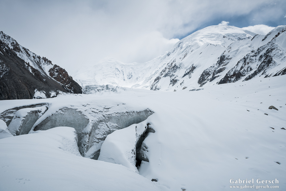
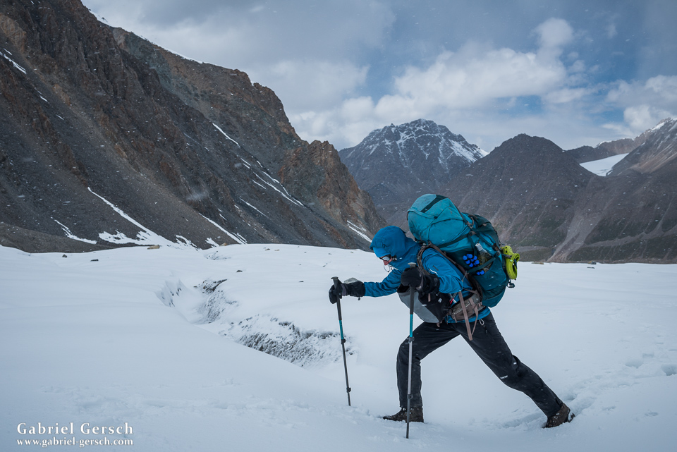
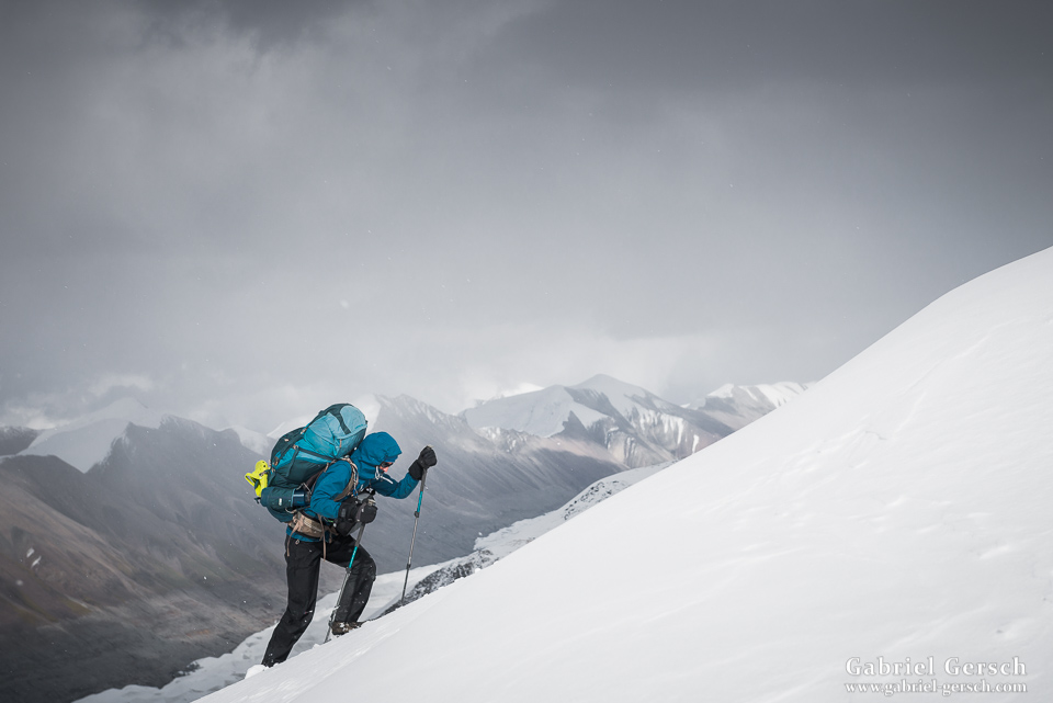
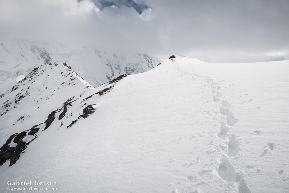
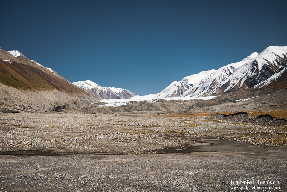
After taking a bath and washing clothes in the river, we took off towards the glacier moraine in the afternoon of September 2. We reached the glacier the next day, crossed it, hiked down to the base of Maj Bulak and made camp. On day 15 we started hiking uphill to the Maj Bulak icefield and a technical pass, which brought us down into the Musketova drainage. As usual we had some rain, some snow and some wind on the way, but all in all we were okay. The icefield is big and full of crevasses. Since it is covered in snow year-around, we had to walk very slowly and used our hiking poles to carefully test every inch for hidden crevasses.
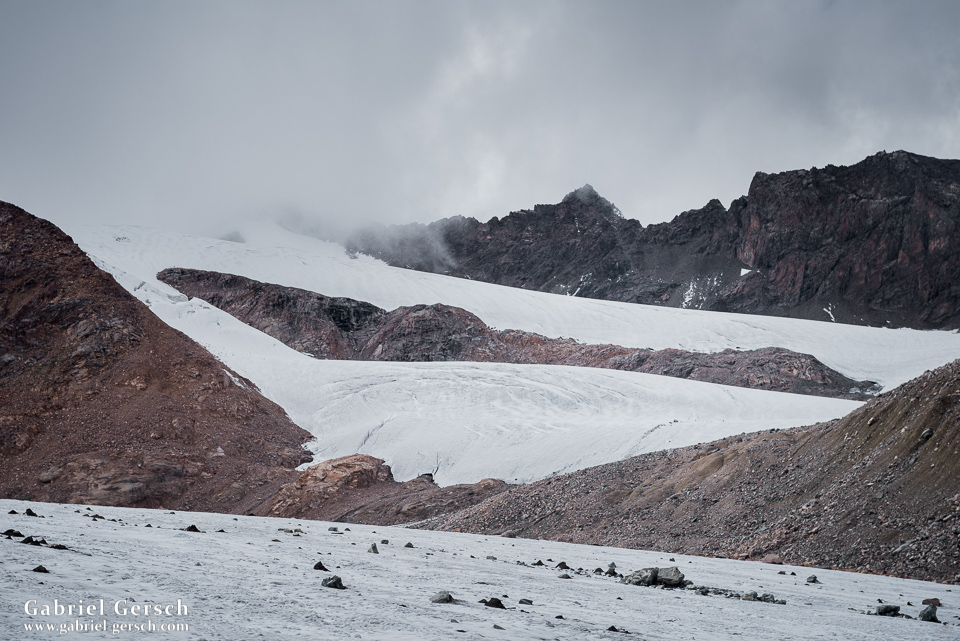
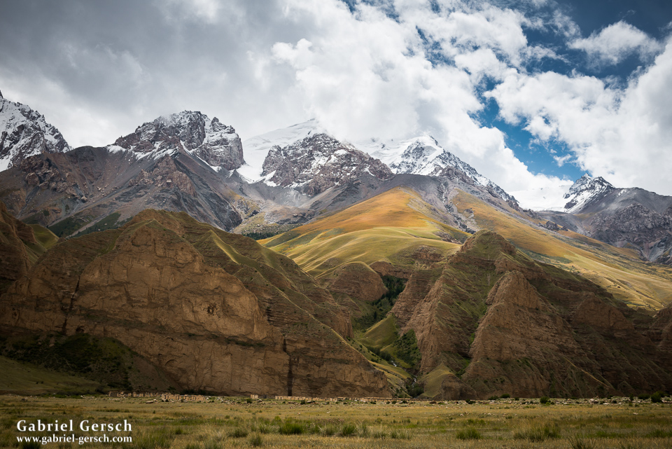
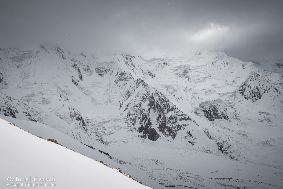
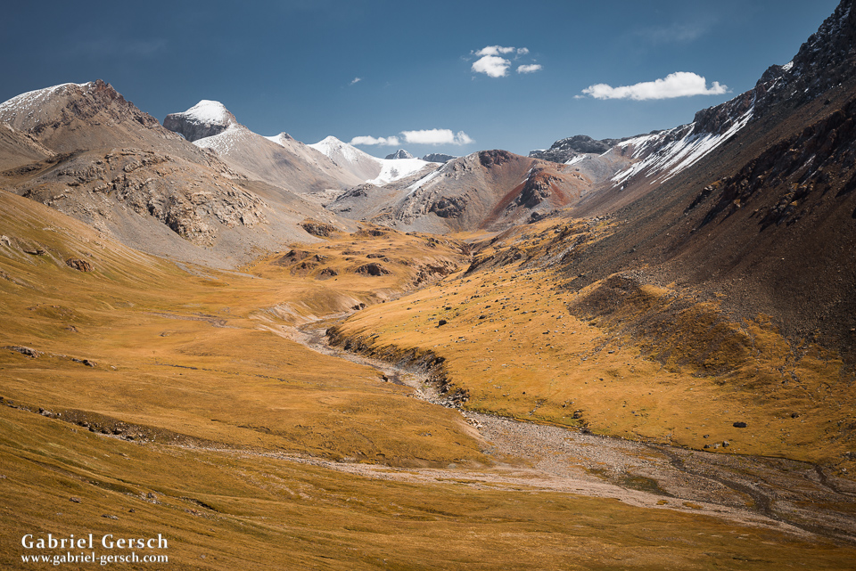
We reached the Musketova valley on day 17. Because of the heavy snowfall during the previous days, the glacier was mostly covered with snow; only in the lowest part could we see some black moraine gravel and ice. Our plan was to spend the next few days on that glacier and hike all the way up to where it meets the Semenova Glacier, close to the Chinese border. From there we wanted to go down the Semenova and hike back to Echkilitash.
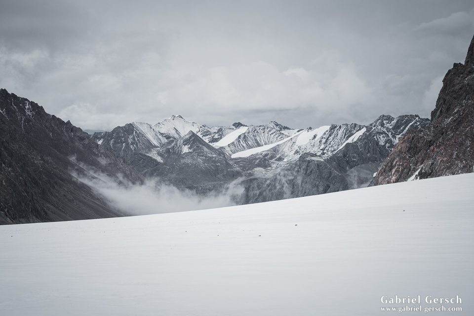
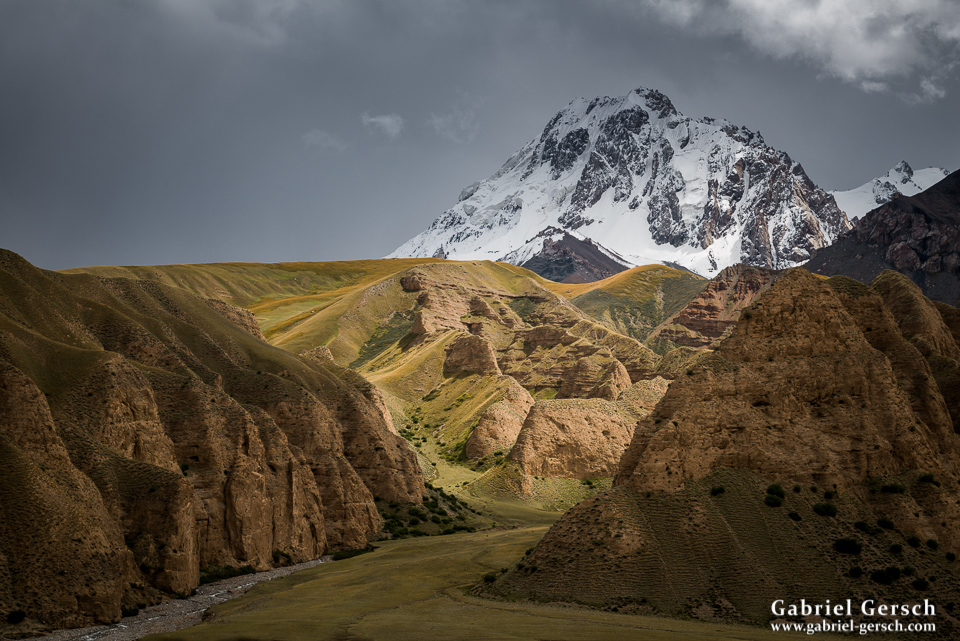
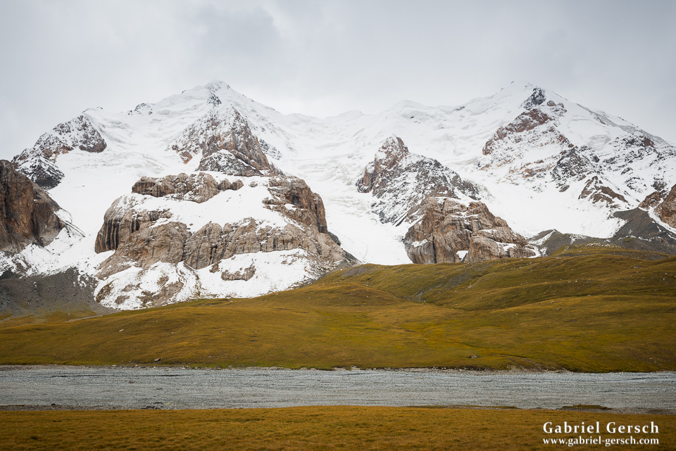
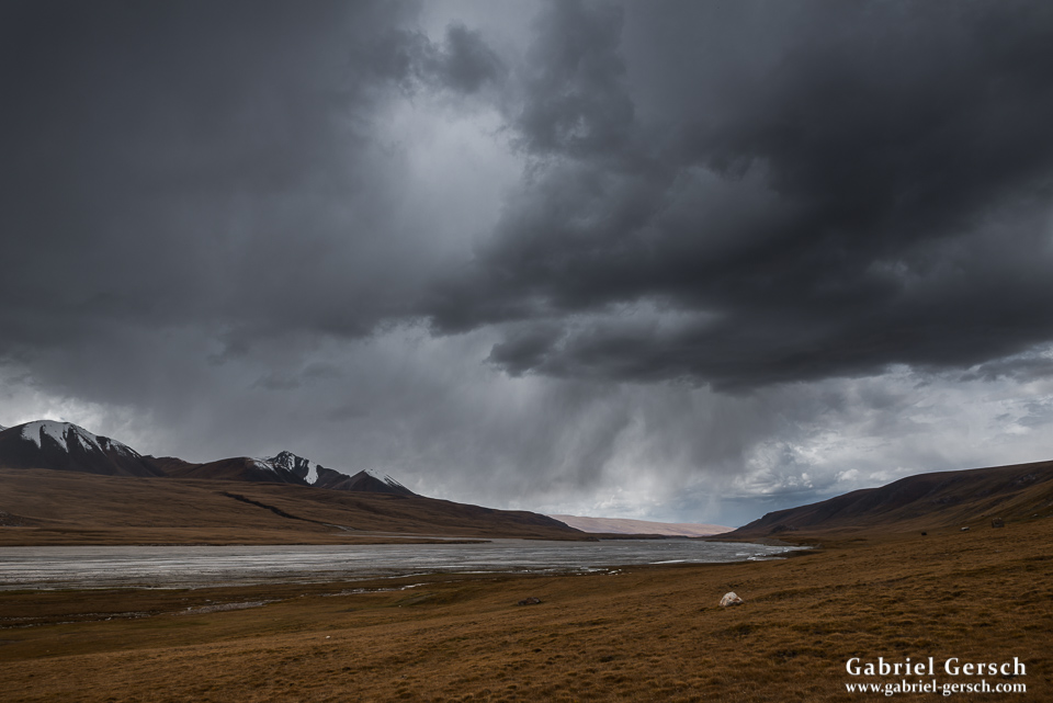
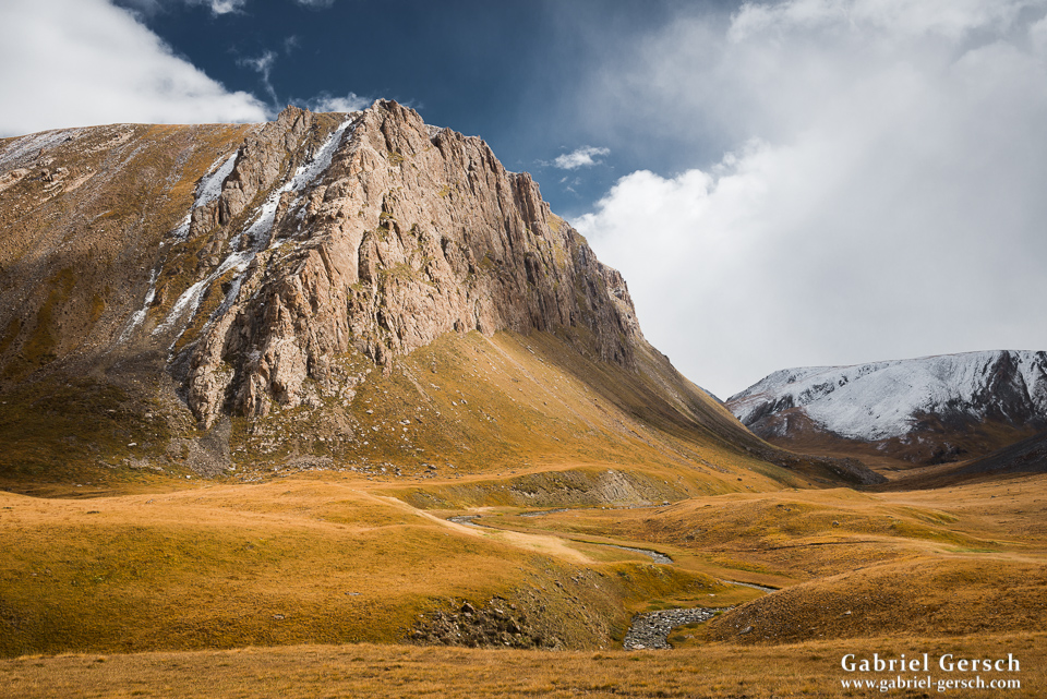
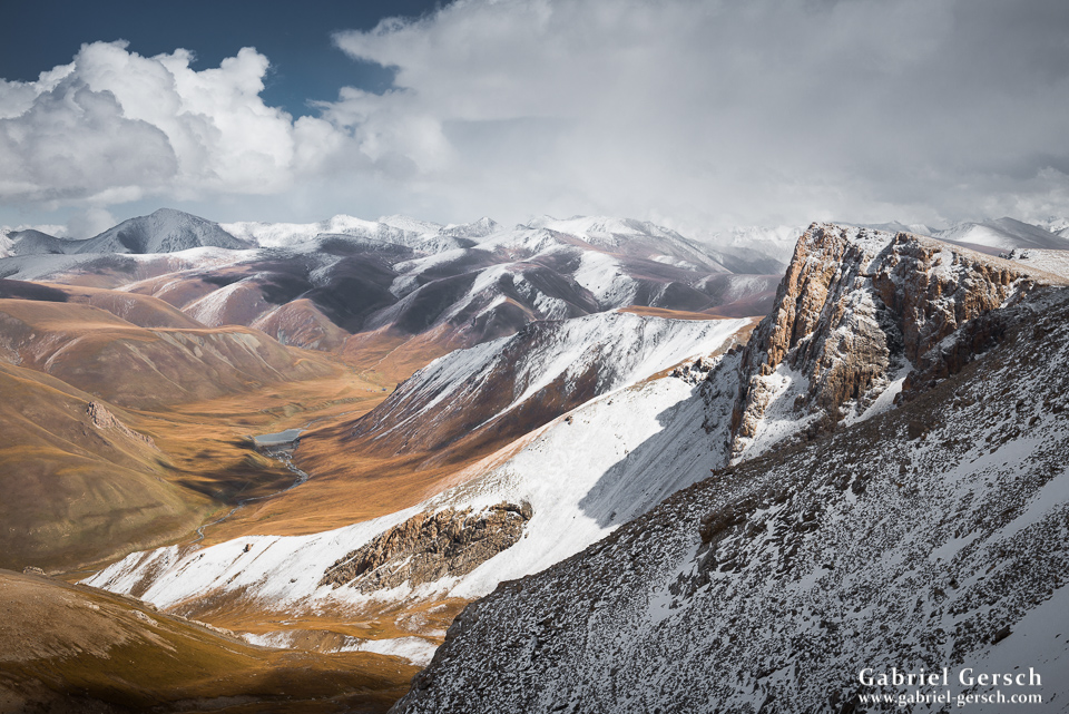
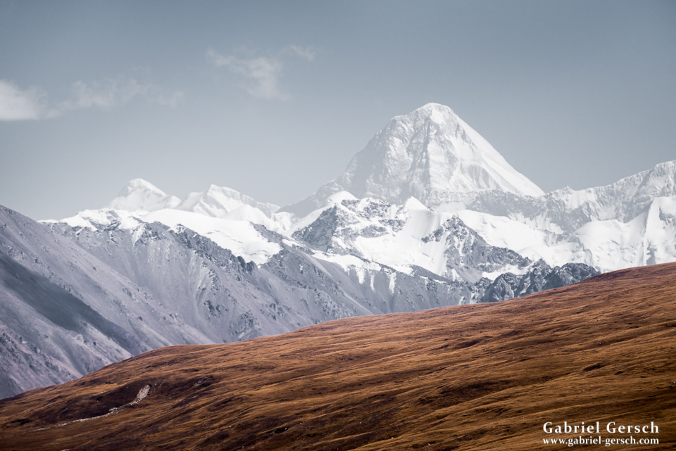
Since there was so much snow on the glacier now, we had a few more things to consider. Continuing east towards the pass was very dangerous (snow-covered crevasses!) and if we, at one point, decided to go back, we would have no more time to hike over the beautiful mountains in the north (border to Kazakhstan), instead we would have to go right to our pick-up point Echkilitash. It was a difficult decision but, given the unfortunate weather conditions of the previous few days, we decided to change the route. We hiked up a smaller glacier that was coming down from the impressive Sary-Dzaz range, camped on the glacier and enjoyed the magnificent panorama.
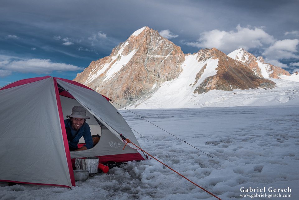
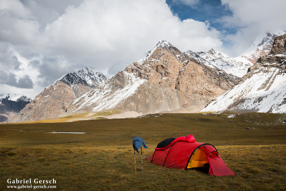
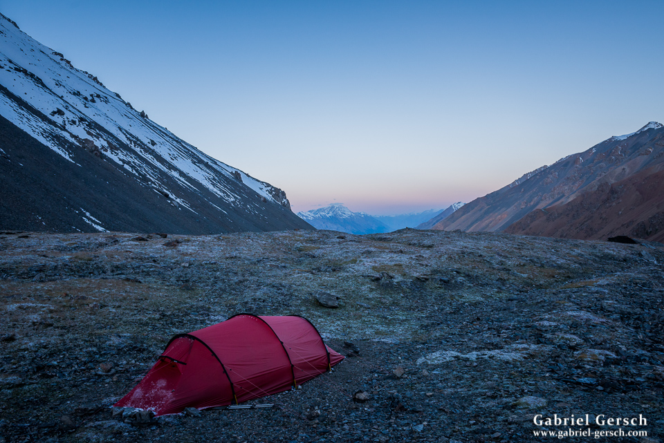
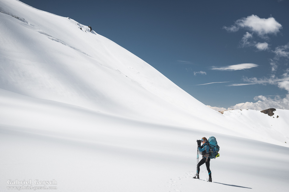
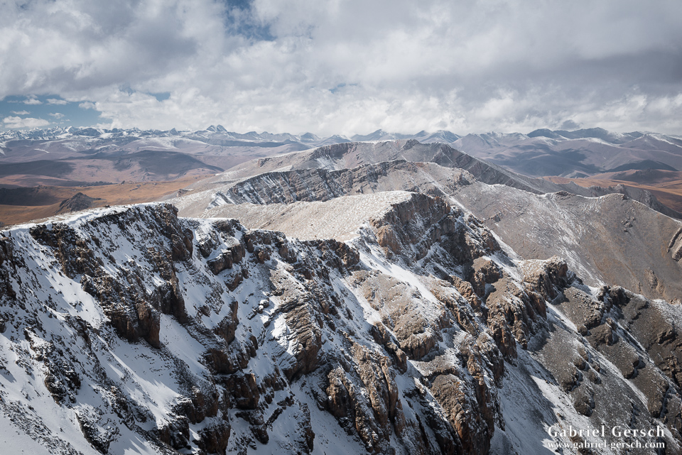
On day 19 we climbed a nearby peak. It took us much longer than expected due to a bad mix of scree and snow, but we summited eventually and slid down the other side, where we pitched our tent right next to another big glacier.
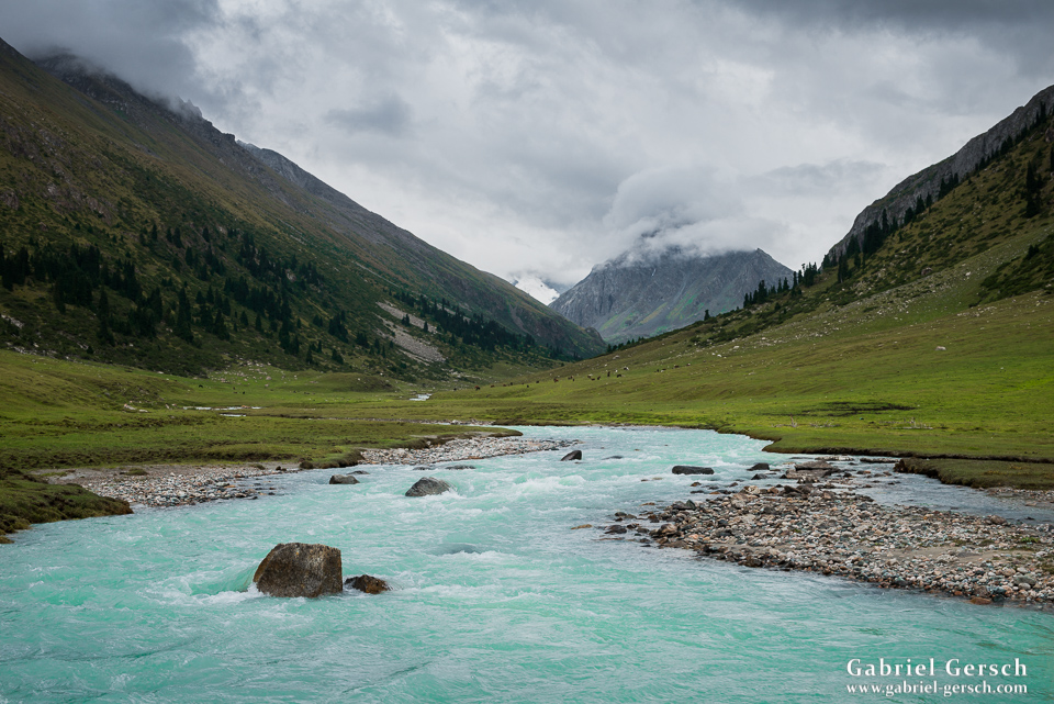
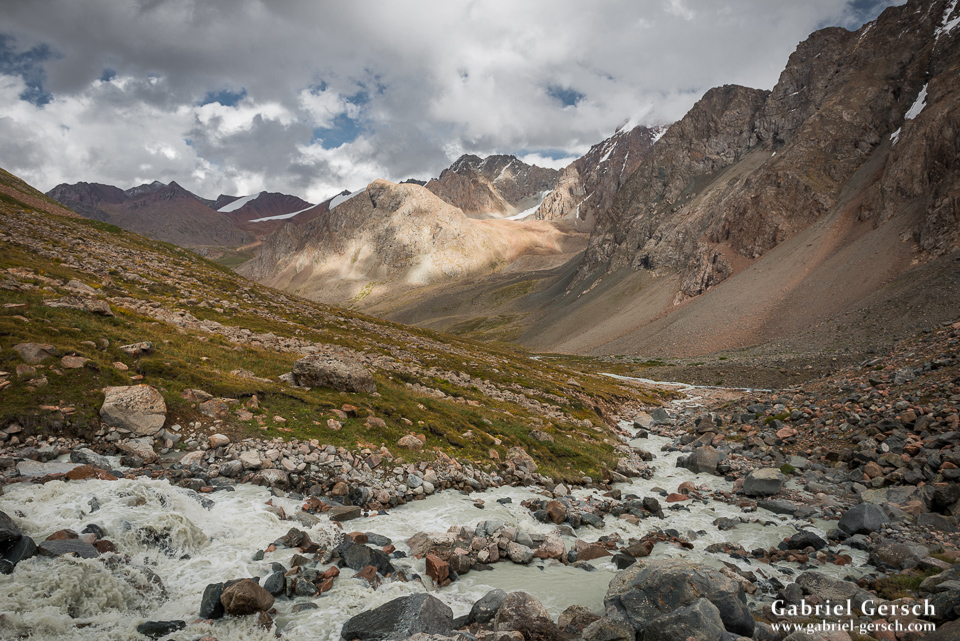
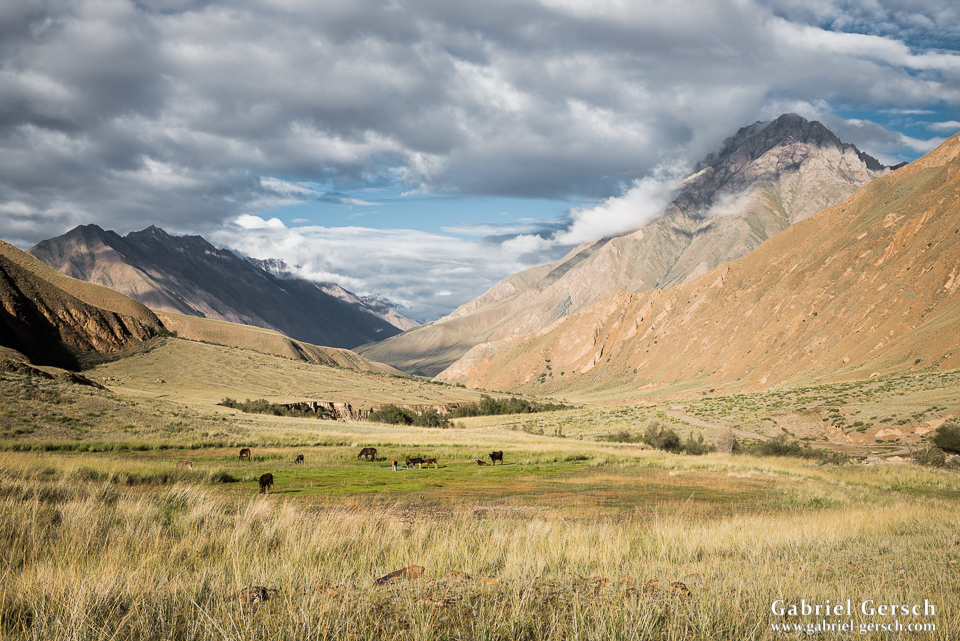
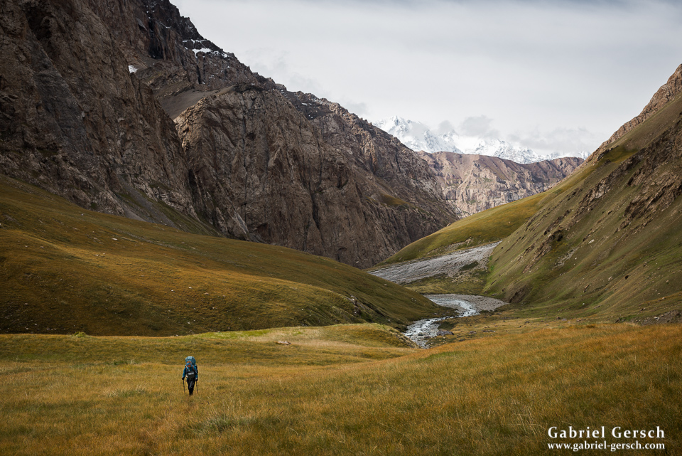
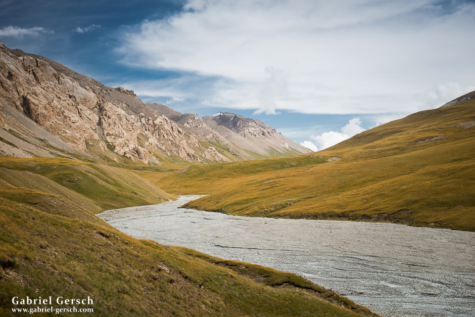
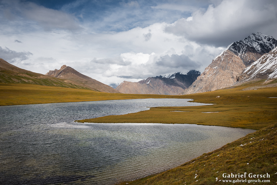
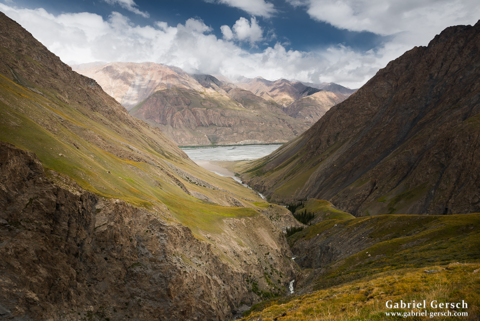
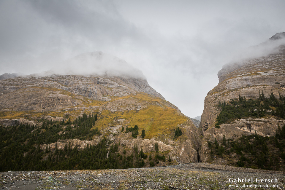
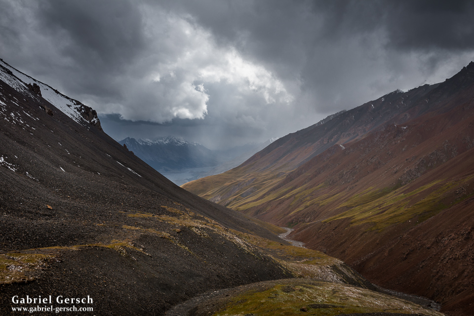
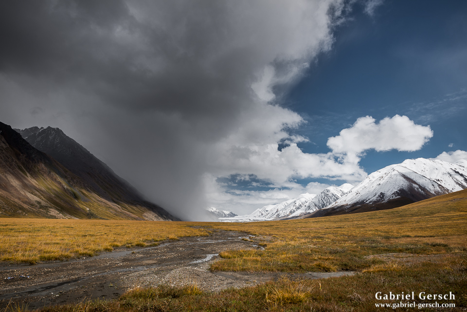
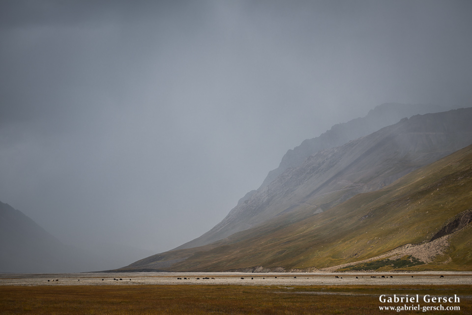
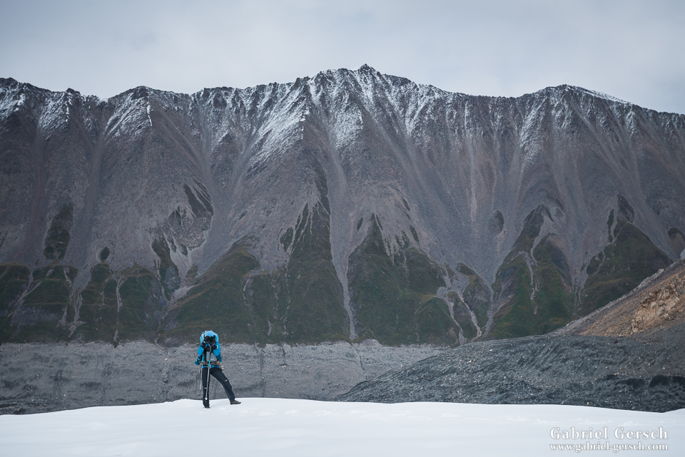
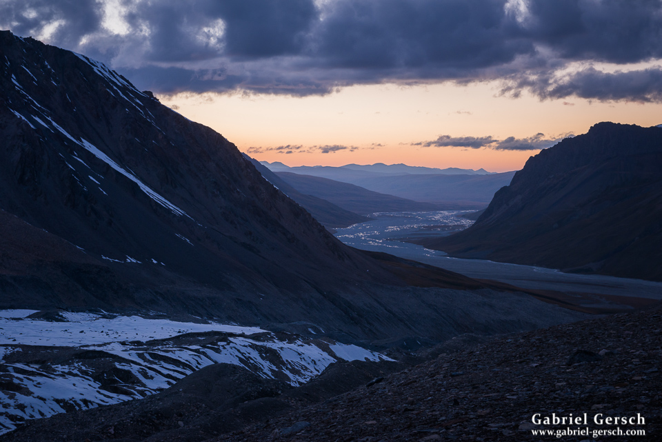
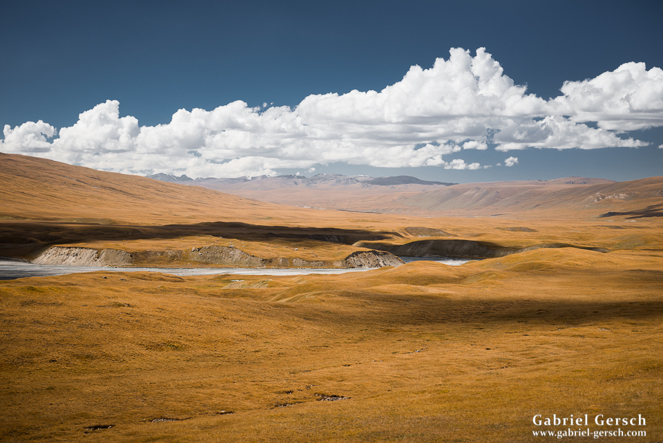
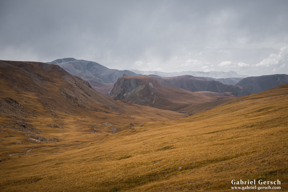
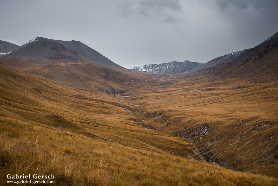
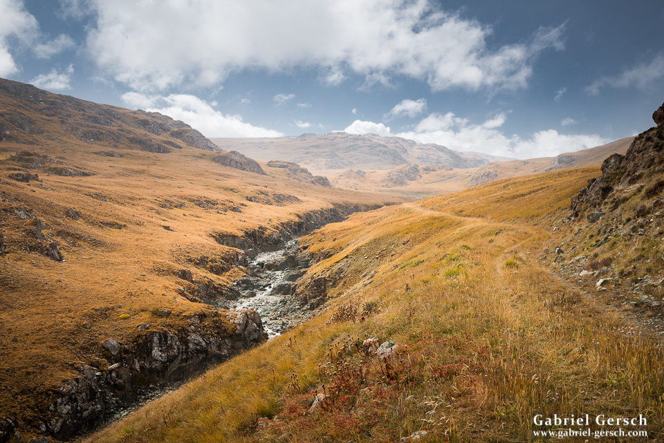
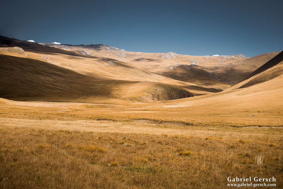
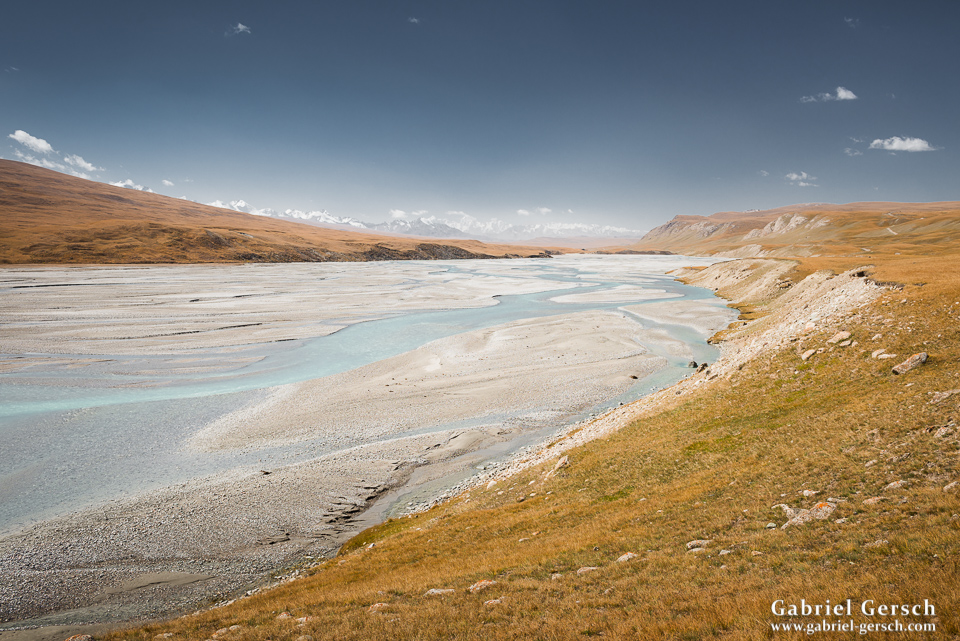
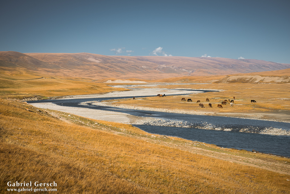
Fall season had long begun in Kyrgyzstan, and now that we were leaving the glaciated alpine terrain and entering the vegetated mountains and hills we could fully enjoy the beautiful colors. We crossed the Musketova River and hiked over to the Sari-Jaz River before we got to the nearby mountains north of the valley. We were very close to the Kazakh border now and could often see “the other side” from mountain tops and passes.
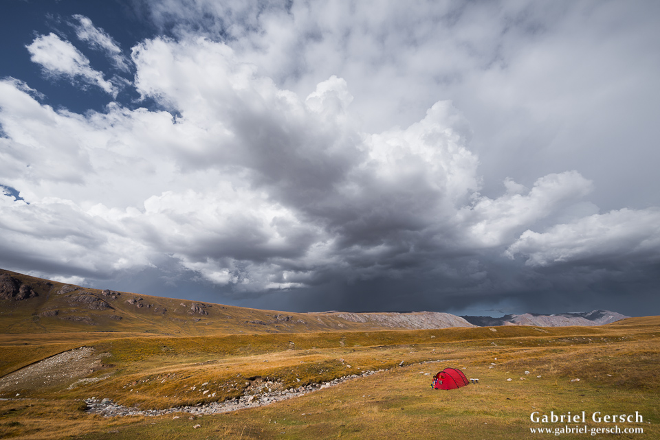
One day – it was in the late afternoon of a snowy day and we were looking for a place to camp – two men drove up to us on a four-wheeler. They were staff of a Kazakh hunting lodge which was just around the corner. They invited us to their place, a rather critical side trip, I thought – obviously we had no visa for Kazakhstan, so if the police or military were to catch us… well, the lodge was so far away from the next town that we accepted the offer happily and drove with them to the lodge. It turned out that it was off-season and only a bunch of housekeepers were watching the place during the winter (which apparently had come early that year). We were in luck: the Kazakh gave us a luxury room for two and prepared dinner for us, all free of charge. But first we took a hot shower, which, after 23 days in the field and so much snow and ice, seemed quite appropriate.
The next day we hiked across the border again and up a 3.960 m high mountain, which also marked the border between the two countries. The weather was still funny; sun and snow took turns, only the wind was constant.
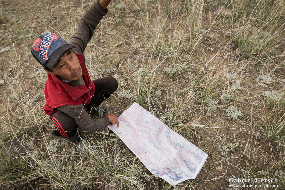
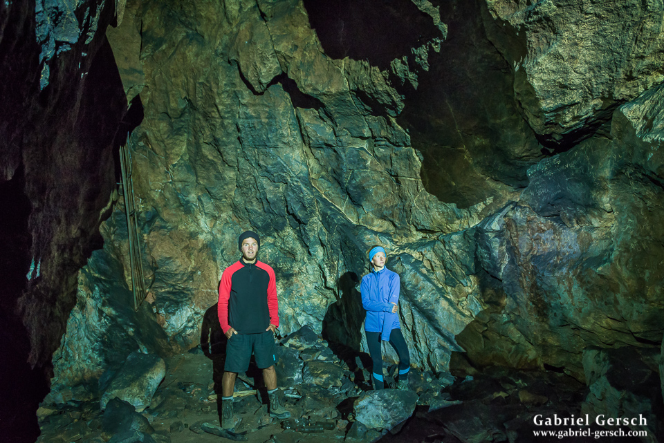
It was two more days to Echkilitash. Our Soviet military map from 1981 indicated a cave (Ak-Chungkur), which we found underneath a large cliff. The cave was much bigger than we first thought, so it took some time to explore it. But not too much of course as it was quite cold inside.
We came closer to civilization and got invited for bread and chai again (we rarely refused calories at that point). On September 17, our 27th hiking day, we got picked up by Stas, a friend of Chris’, who owns a reliable off-road vehicle and came to get us after I contacted Azad via sat phone.
Sofia and I were extremely happy to have completed this complex and challenging route after 27 days. We didn’t run into any other hikers. We were away from civilization for quite long and our bodies felt like they would appreciate a break. We hadn’t had a single resting day and we were as skinny as we had never been before. But our minds were clear, our bond was strong and our dedication had not changed. Only two days later we found ourselves sitting on a plane on the way to India, in order to enter Pakistan over land and explore even higher mountains: the Karakorum and Hindukush.