 Deutsch
2010 Alaska: Crossing of the northern Wrangells |
|
| Places | Alaska. Wrangell St. Elias National Park and Preserve |
| Time & length | August 2010, 4 ½ weeks |
| Partners | Christian Bock, Eva-Maria Kubin |
|
Part one of our nine-week Alaska trip. Making use of packrafts and an air supplied food drop we hiked from Slana to McCarthy including a few side trips and a longer stay in the community of Chisana.
|
|
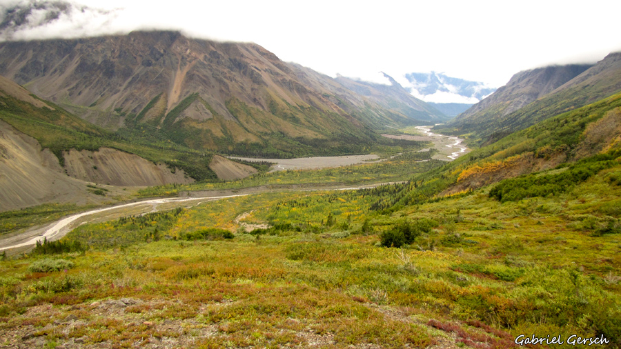
I started planning this trip at the end of 2009 when Christian and I returned from our hike through the Rockies. Looking at Alaska’s topography the Wrangell St. Elias National Park quickly got my attention: it’s the largest park of the United States, neither permits nor the ugly and heavy “Bear Resistant Food Containers” are required and since its bounded by two major glacier rivers which are untraverseable by foot it doesn’t see many tourists. It didn’t take me long to get an idea of what to do in this park: there are two gravel roads leading into the park, one ends at an abandoned gold rush area called Nabesna at the north end, the other one leads to the small town of McCarthy located right in the middle of the park. To go further you have to cross the mighty rivers I have already mentioned: the Nabesna River and the Nizina River. Connecting both places would mean to either fly or paddle across these rivers – flying was out of the question and paddling… well, are there any boats you can carry on a hiking trip? Yes, there are and the company that builds them is called Alpacka Raft.
To make a long story short: each of us ordered one of these tiny little rafts and our route straight across the northern Wrangells was set. When I asked an Alaskan hiking guide who works in this park about the feasibility of this trek he answered: “I have since walked a continuous ring around the entire Wrangell mountains, as well as many other adventures in the Park and in other places in Alaska. I will tell you that it is unlikely that anything you’ve done before will truly prepare you for a trek from Nabesna to McCarthy, and this trip may be much more than you bargained for.” If I hadn’t been motivated enough before – now I surely was!
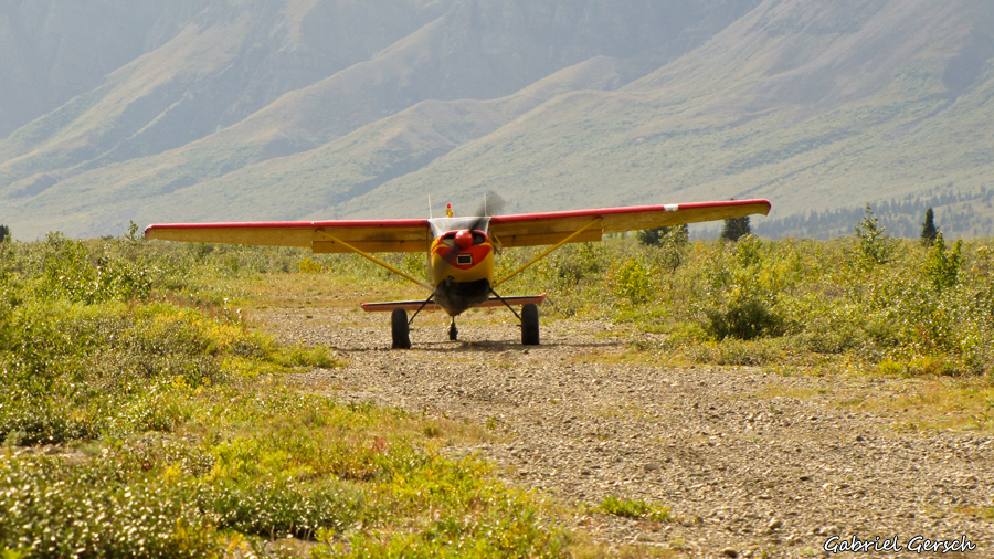
In the very early morning of the 1st of August we flew from Tbilisi to Frankfurt and catched the plane to Alaska minutes later. On the same day we landed in Anchorage and pitched our tents on a small piece of woodlands not far from the city center. After a good sleep we bought some groceries: in fact we bought trekking food for 4 weeks and mailed half of it to a company called “Wrangell Mountain Air” which was going to drop our food at a certain place at a certain time – of course everything had been arranged in advance.
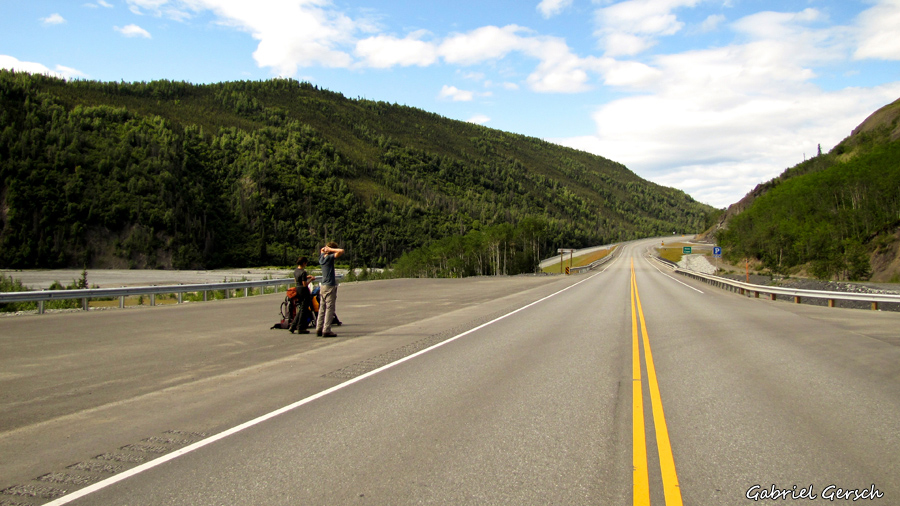
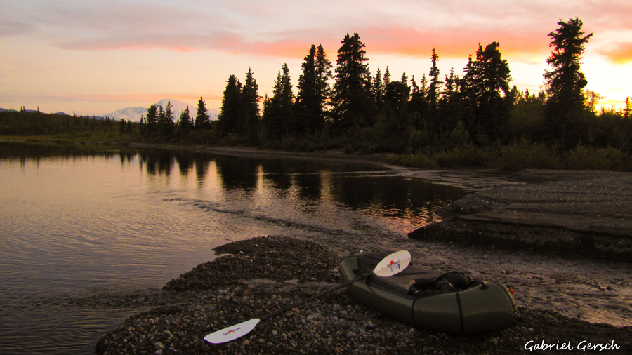
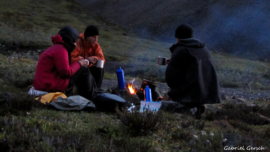
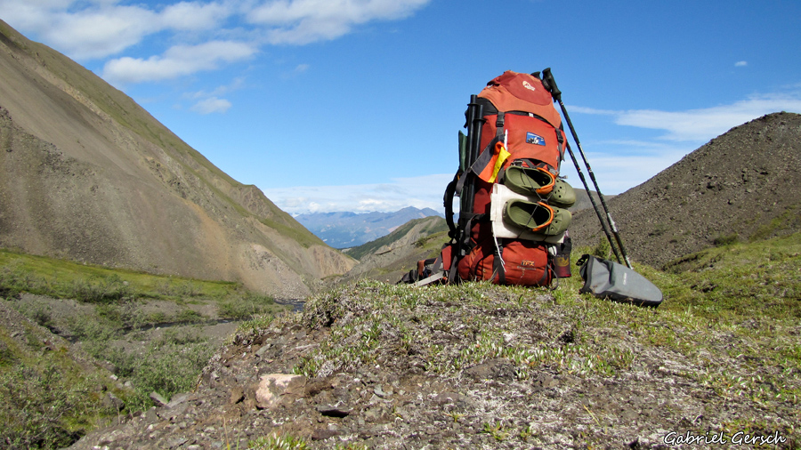
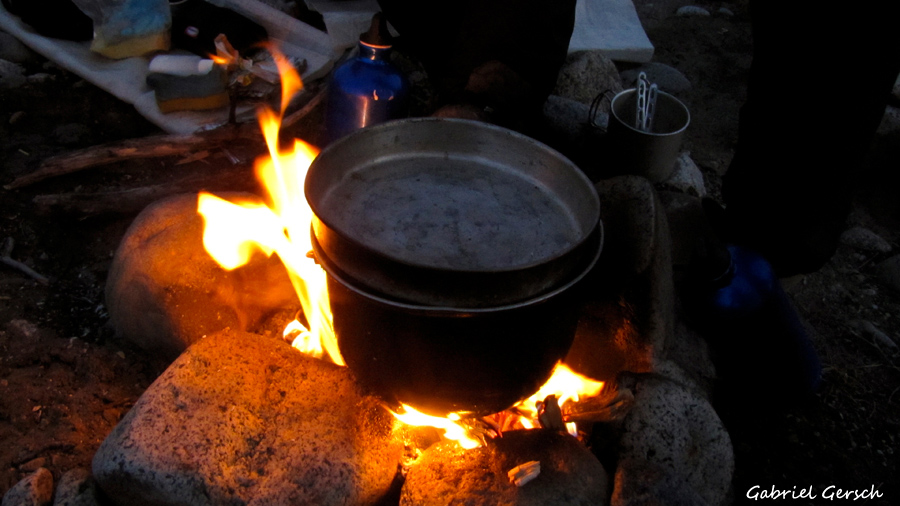
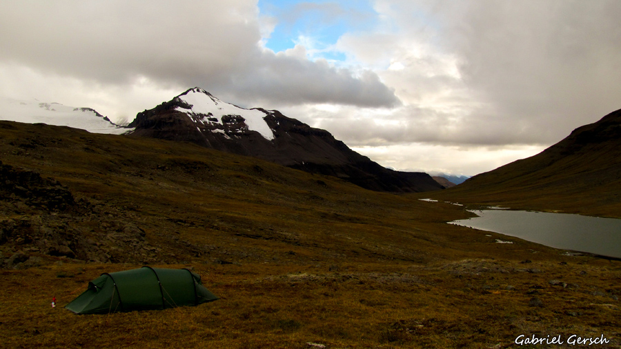
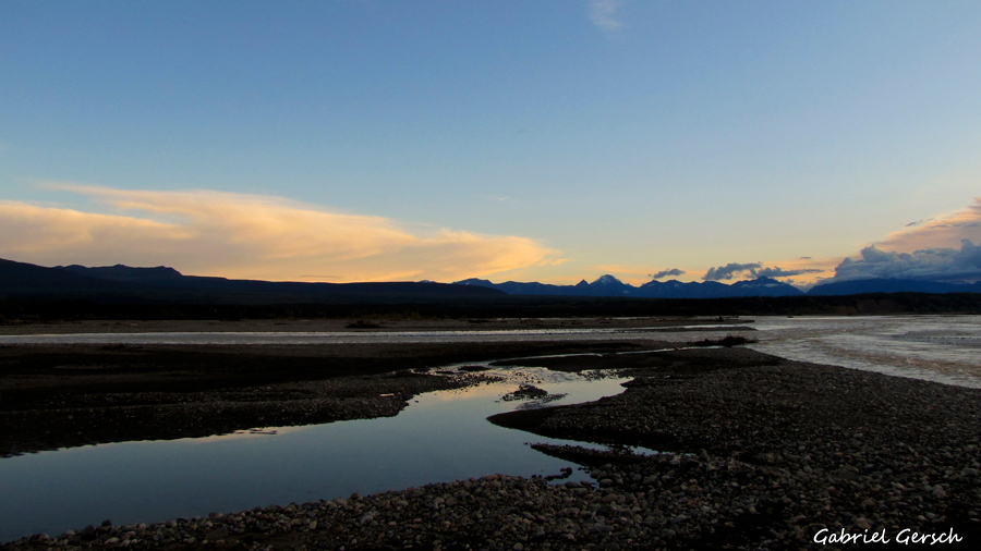
And then we already started hitchhiking out of town towards the Wrangells, we reached our starting point, Jack Lake, on the very next day. In the evening we tried out our new boats and went to bed late after having a nice little campfire on our first night in the wilderness of Alaska – we were very happy to be there!
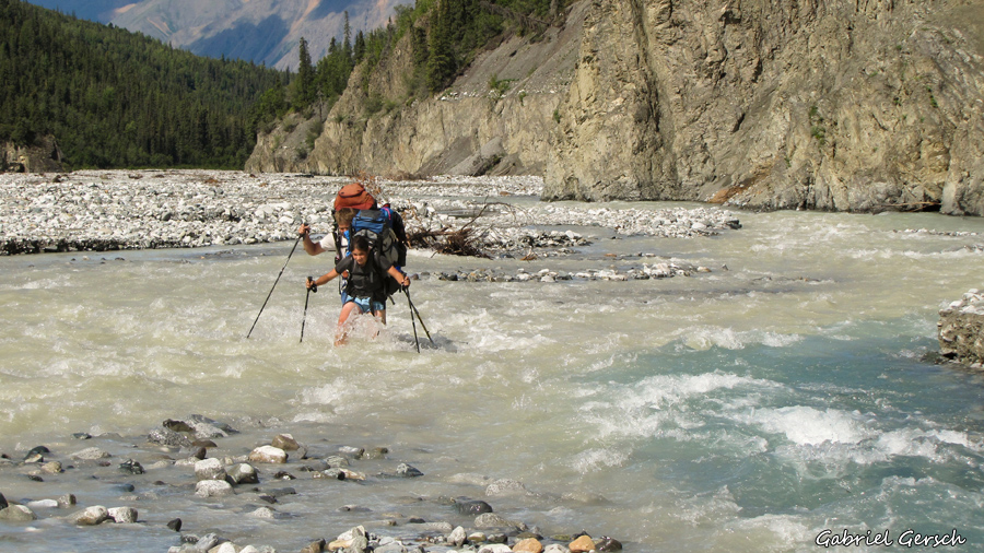
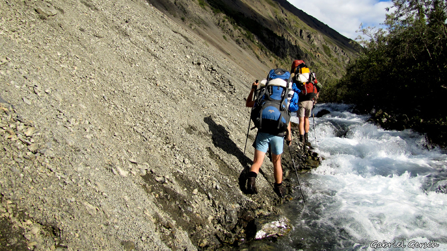
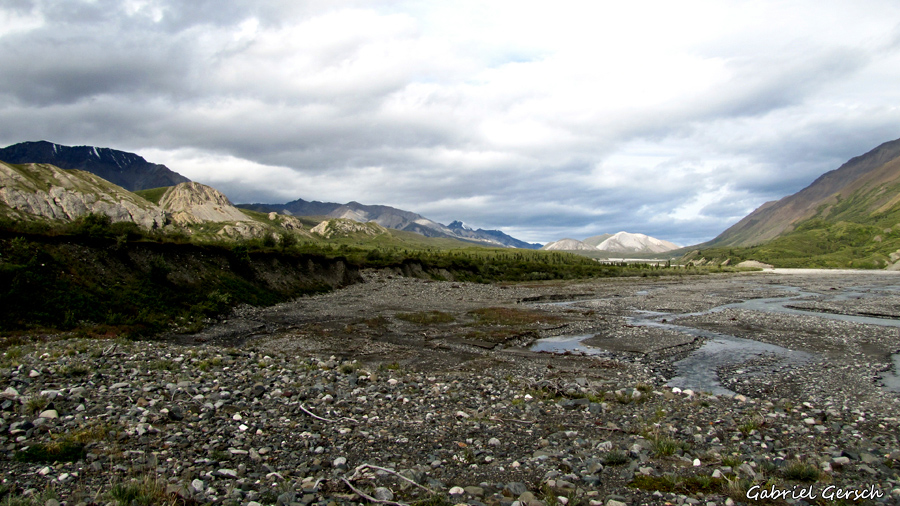
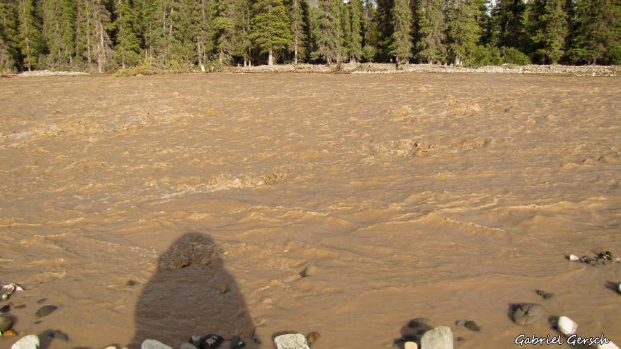
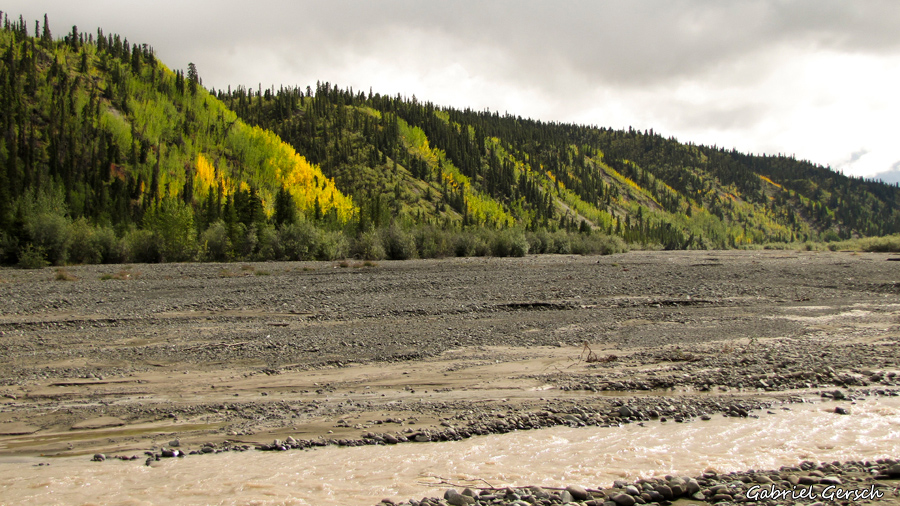
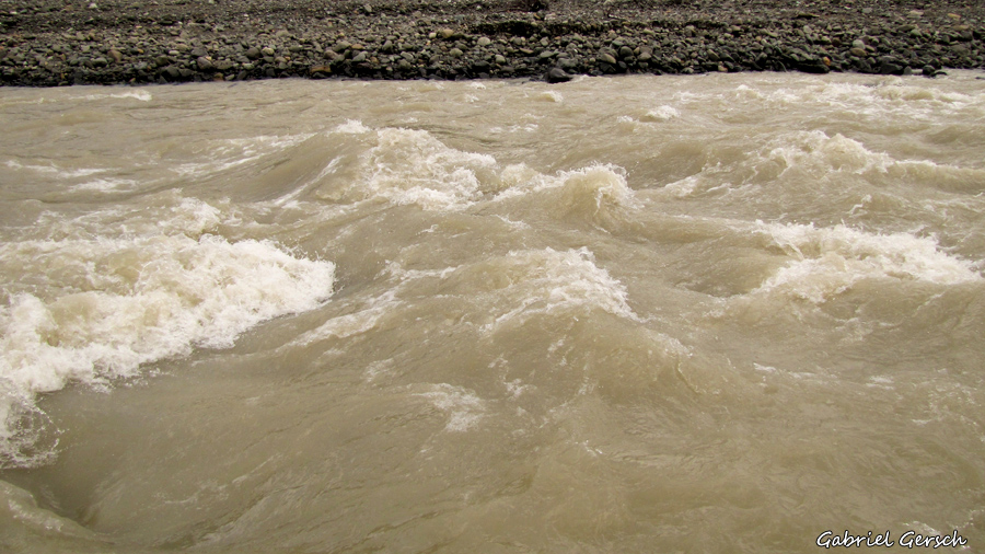
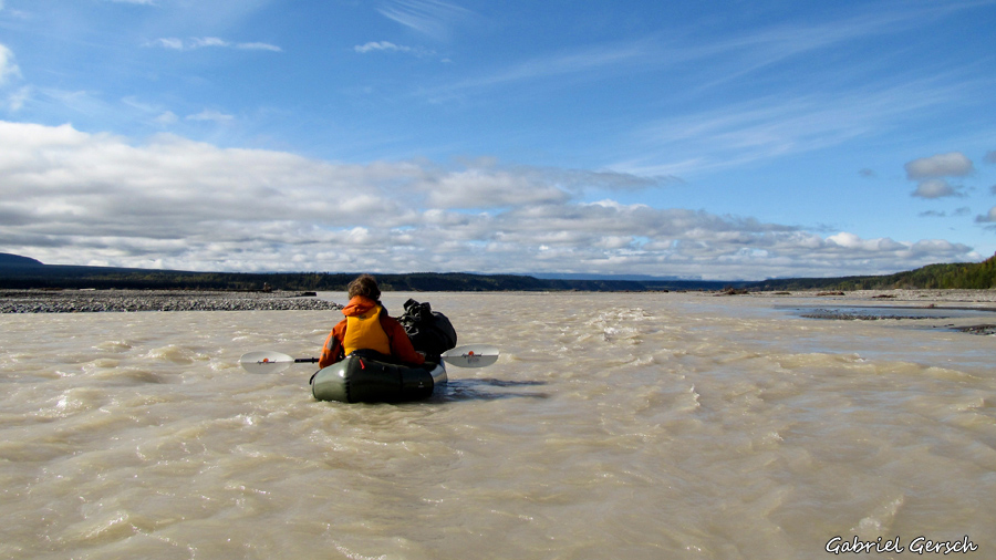
Finally we reached Nabesna River. The first branches we crossed by foot, later we had to use our boats again. For Christian and me it was a lot of fun but Eva, who had already fallen into the water twice, was actually scared and hated to raft this huge and fast flowing river which was also extremely cold since all the water came right from the glacier located a few kilometers away upstream. But this time everything worked out fine and we all made it to the other side safely.
Surprisingly for us we saw people on the other side of the river. From the map I could tell that the place called “Chisana” has an airstrip but because there is no road going there I didn’t expect to see a real community. But that’s exactly what we found: a community of hunters and helpers, about 10 people that time, living there year-round. They invited us for lunch and wanted us to stay for a night. There are not many travelers saying hello in Chisana so it looked like they enjoyed company just as much as we did. Given the fact that we didn’t expect to have any company on our route it’s quite funny that we ended up staying with these people for an entire week.
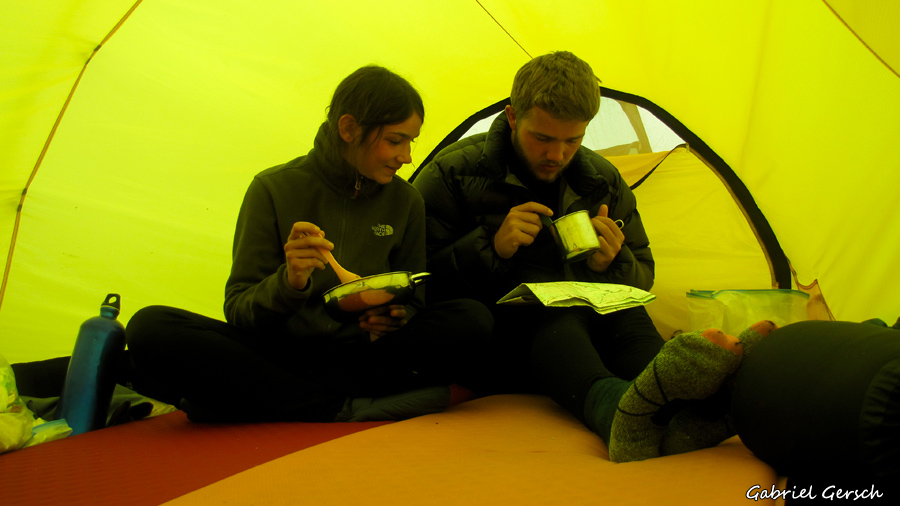
The days were filled with wood work and exploring the surroundings, the nights with talking, sharing experiences and poker. It’s quite an interesting life these people lead, totally isolated from civilization with just a little bush plane to get into the next town. On the other hand they are running a successful business of guided hunting called “Pioneer Outfitters” – being with these pleasant people is an interesting mix of both experiencing the roughness of a life in the woods and the same banal difficulties with organization, interpersonal relations and money that exist everywhere. Anyway, we had a great time there and I’m sure I’ll be in Chisana again one day.
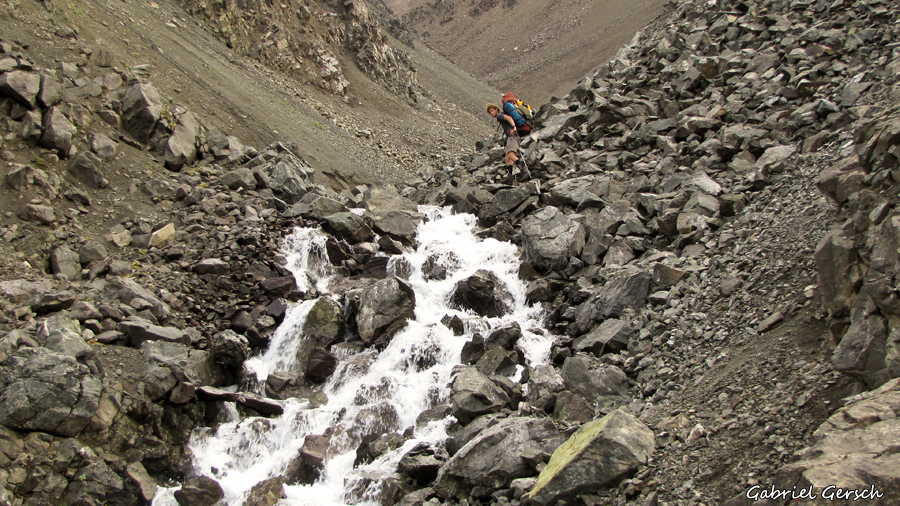
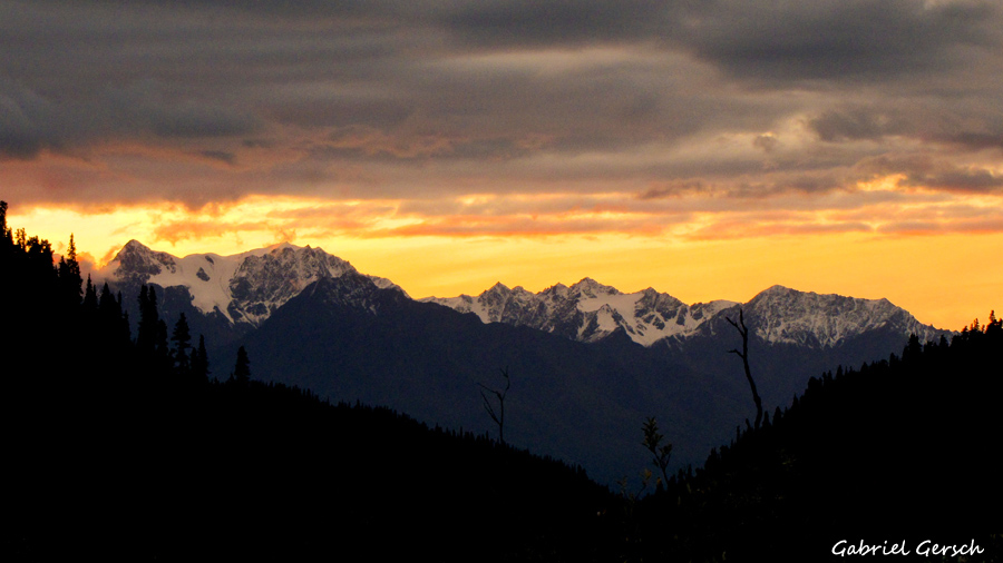
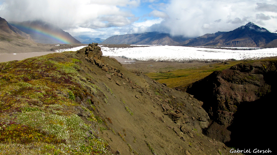
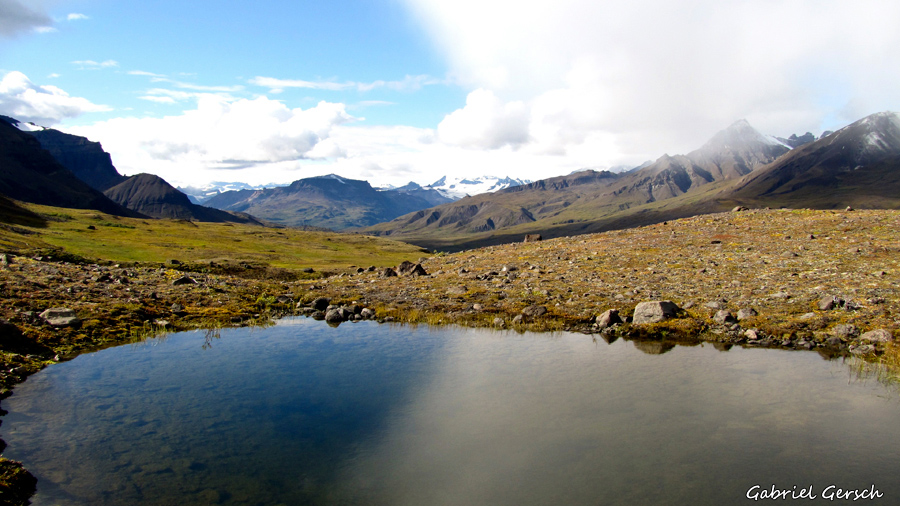
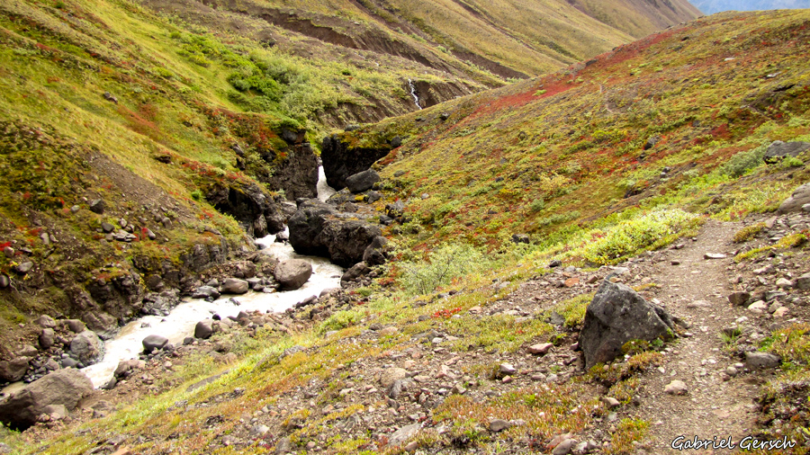
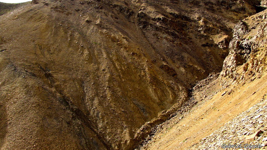
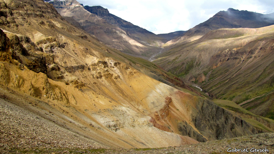
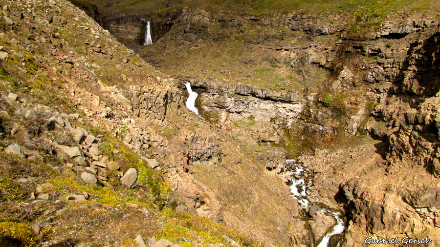
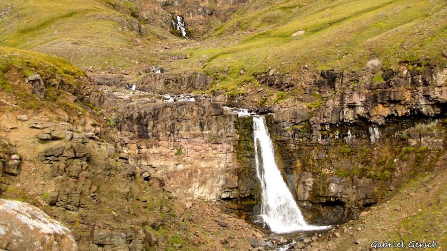
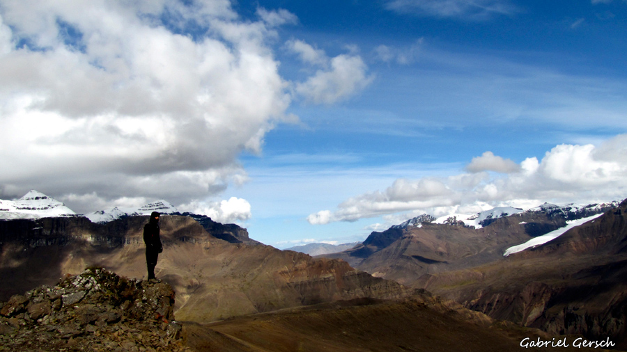
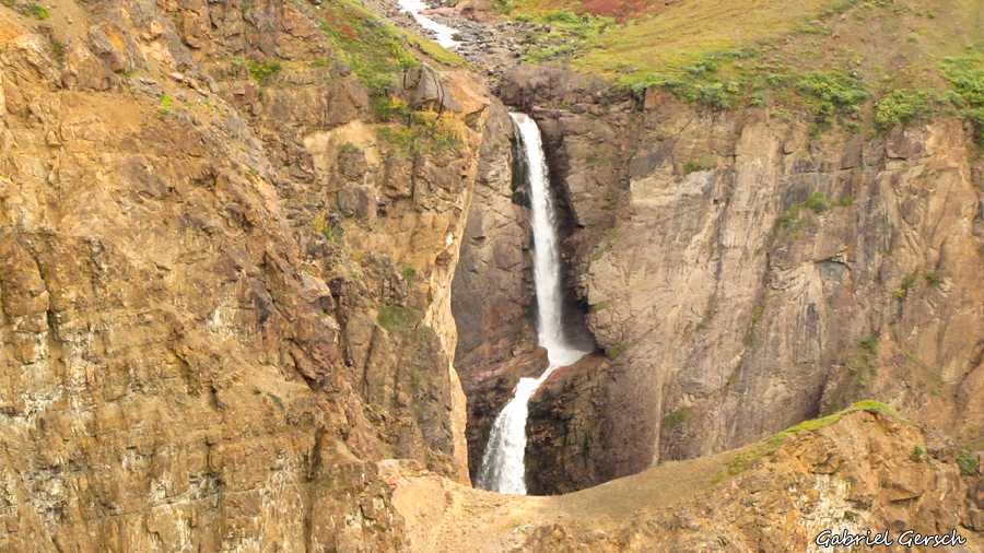
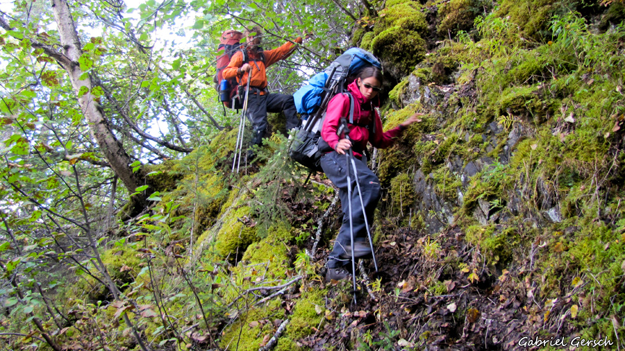
Continuing over Chitistone Pass and walking down on the other side we came closer to the gorge. This is where the “Goat Trail” begins: a steep and narrow path led us along the mountainside and around the waterfalls to a little hill from where we had an amazing view over all the different mountains and valleys around us. There we stayed for two nights which gave us the opportunity to explore a high plateau located to the west without the heavy backpacks on our shoulders – what a good time we had!
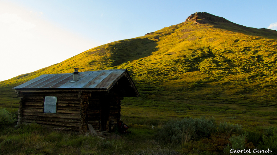
If you expect to be sleeping in a tent for weeks it’s always a pleasure to find a cabin in the middle of nowhere – this is what happened to us when we stepped into “Glacier Cabin” which offers a nice woodstove and can be reached by plane… or by foot.
But at one point we had to cross the Nizina River. So we searched for a good spot, prepared our boats and did it – everybody was happy when we successfully reached the other side, especially Eva.
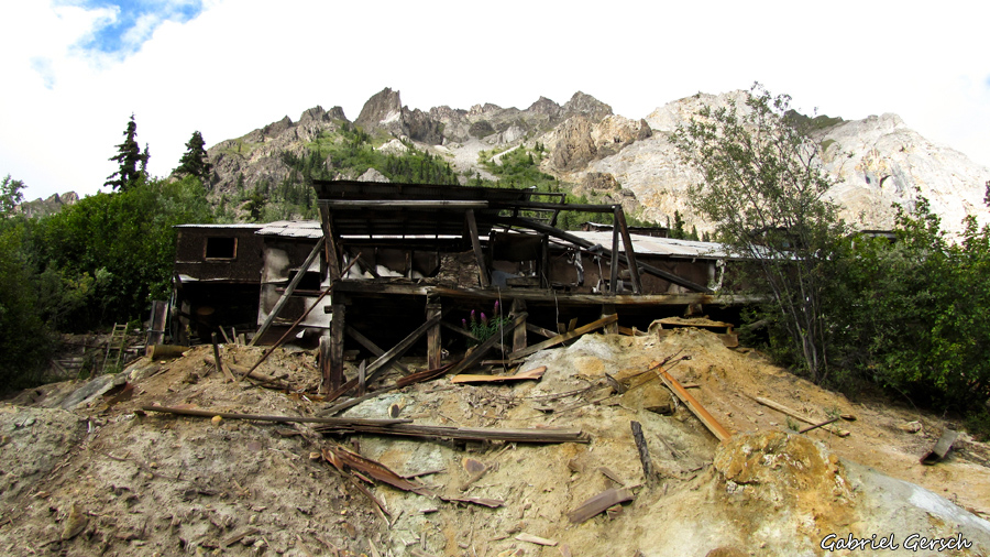
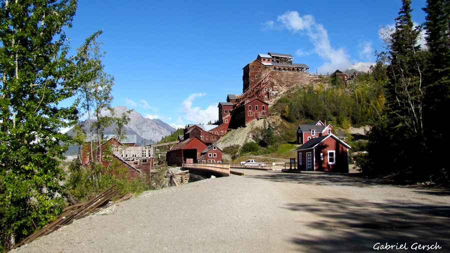
We kept hiking through the woods until we accidentally found a trail leading right to McCarthy. That night we had a beer in the saloon which was full of locals and tourists. Some had heard about our trip and called us “local heros” – a touch too much for the moment. Anyway, on the next day we explored the old mining buildings in Kennicott and found an ice cave in the glacier. One more night in our tents, then we hitchhiked out of the park on the McCarthy road.