 Deutsch
2012 Alaska (2/4): 500 km Brooks Range Traverse |
|
| Places | Alaska. Brooks Range, ANWR |
| Time & length | August 2012, 23 days |
| Partners | solo trip |
|
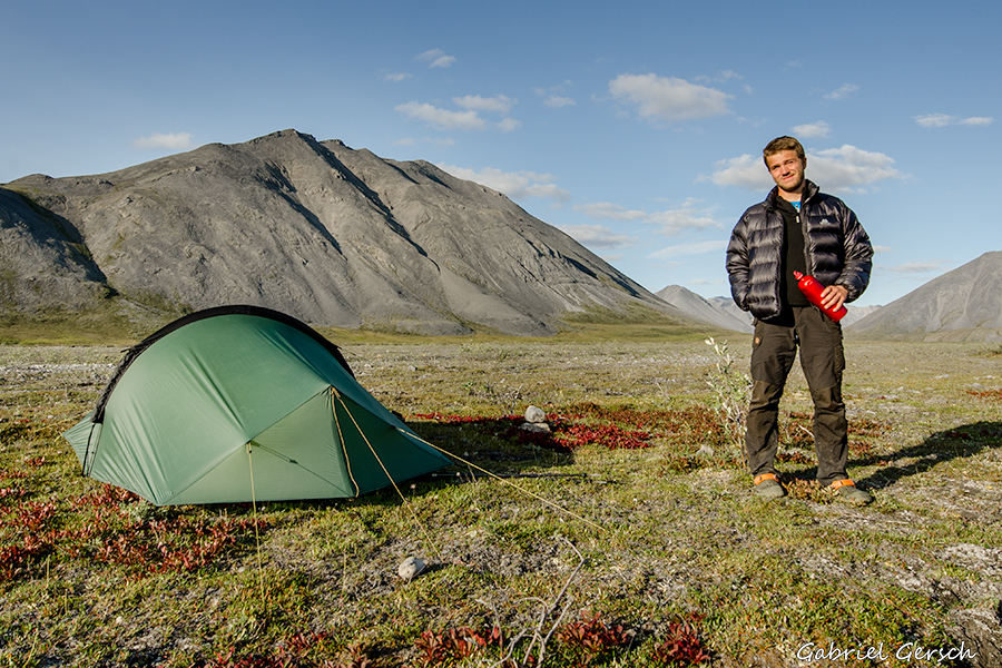
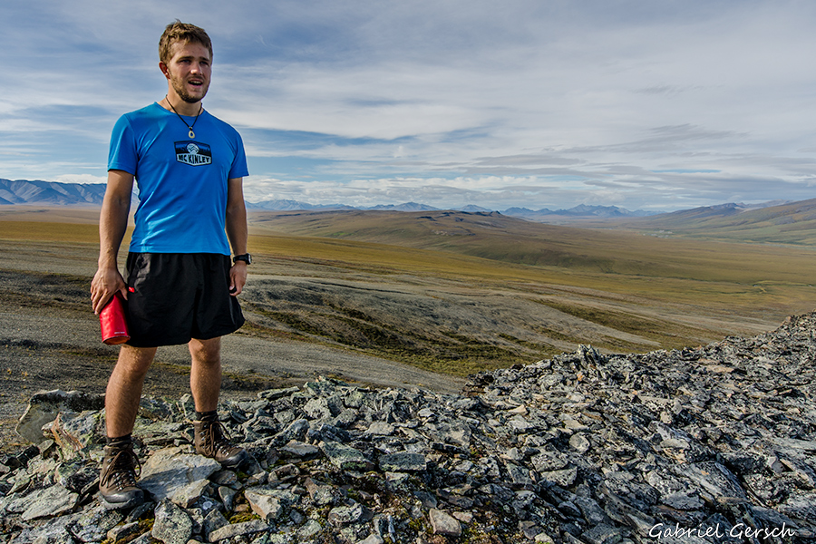
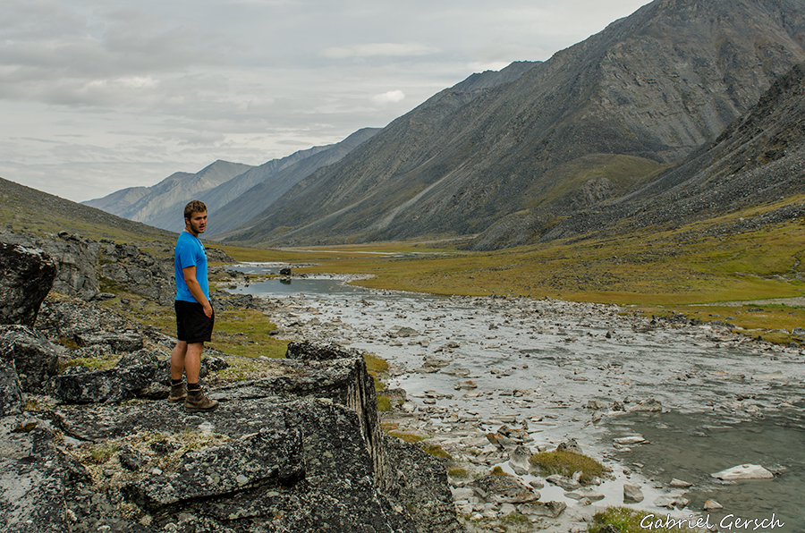
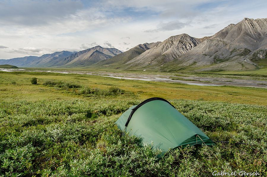
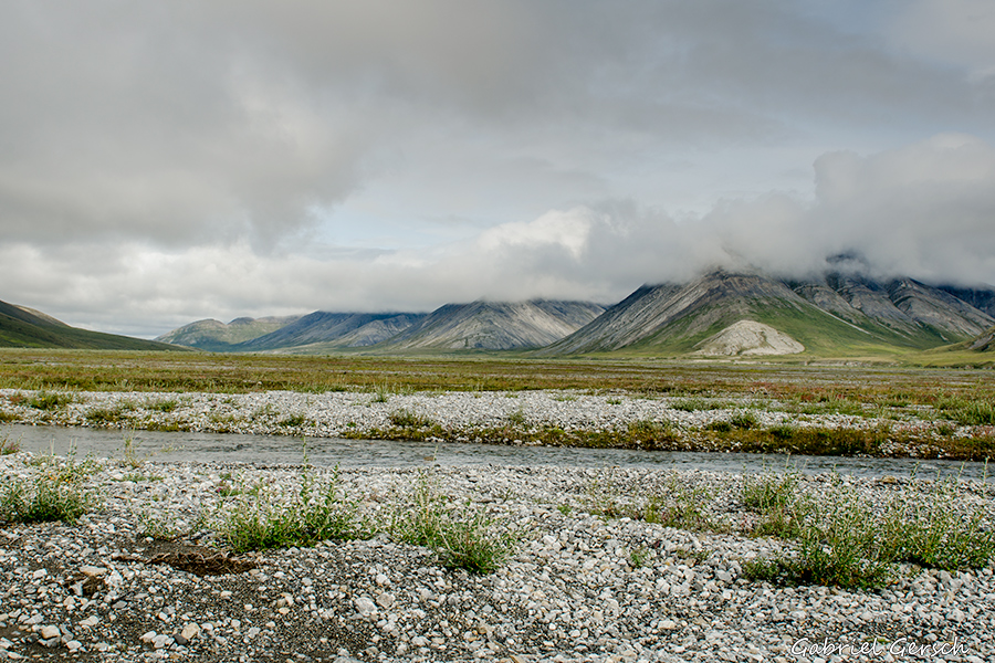
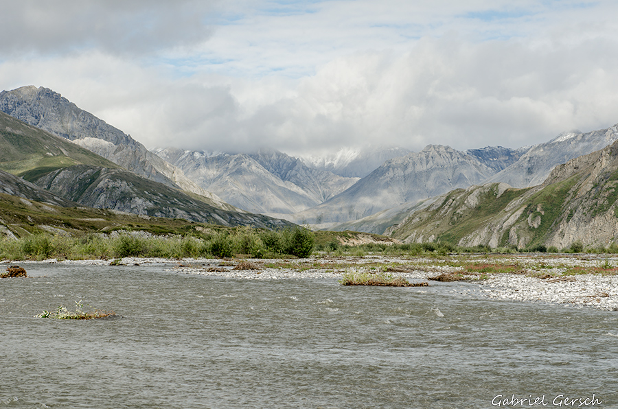
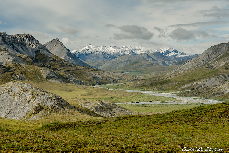
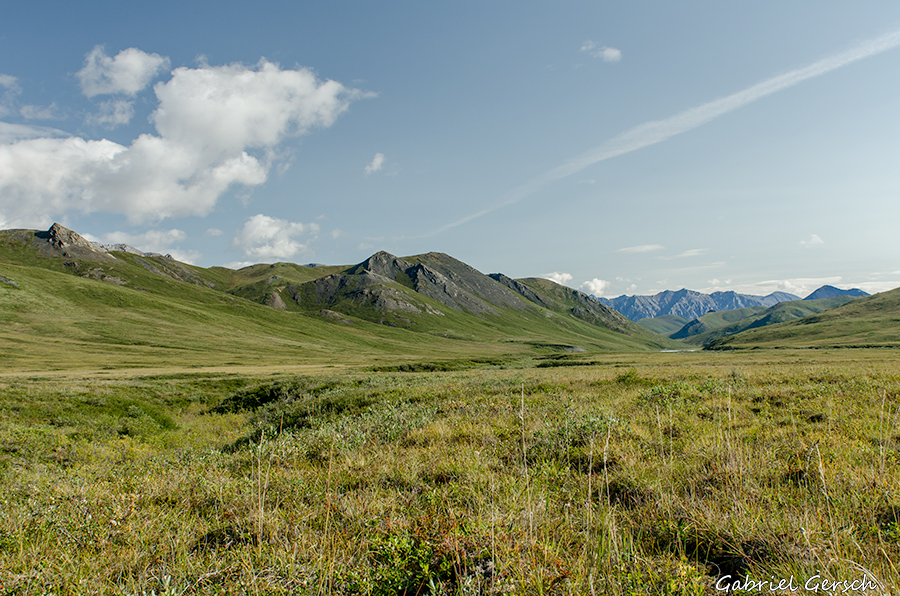
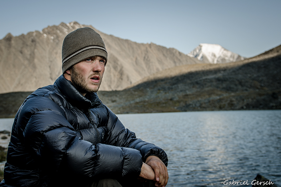
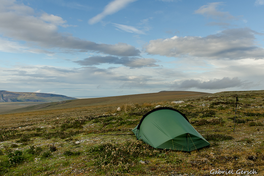
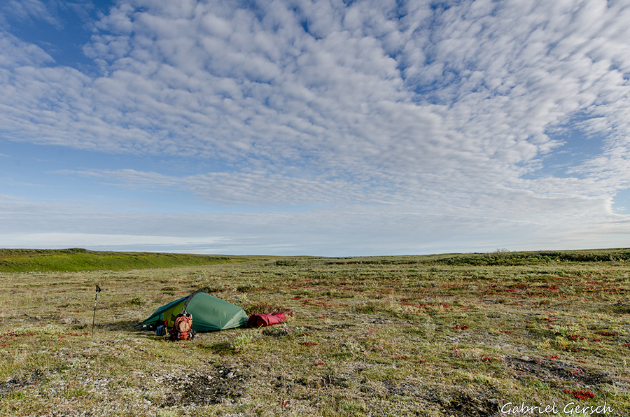
On this trip I hiked from the Dalton Highway (Galbraith Lake) to Kaktovik, solo and without any resupplies on my way. Due to heavy rains, hard river crossings and difficult terrain this was the most challenging journey I’ve done so far.
|
|
I had wanted to do a similar trip (Dalton Highway to Kaktovik) in 2011 already but had to cancel this adventure because of bad circumstances (read more). At that time I was planning on covering the distance in 32 days and was counting on a resupply by a little bush plane which was supposed to drop food and my rafting gear for me so that I could raft down the Hulahula River into the Arctic Ocean. This year I wanted to do it “by fair means”: no resupply, just of my own power. This meant that I had to be much faster and it also meant that I had to do it without my packraft in order to be lighter. So my new plan was to hike from the highway to Kaktovik in 22 days. There is nothing but pure wilderness between the two places, no signs of civilization. My backpack was filled with food for 25 days (3 spare days). Once arrived in the small village of Kaktovik, home to about 300 (mostly) Eskimo, I wanted to take a scheduled flight back to Fairbanks.
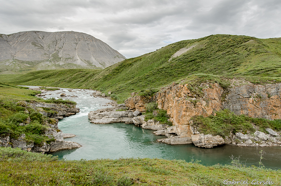
I’m not the first guy who hiked a longer way through the Brooks Range, but I came up with a route based on my very own ideas. I’m just giving you some brief waypoints here, so that I’m not spoiling somebody else’s future adventure:
Elusive Lake – Ribdon River – Ivishak River – Porcupine Lake – Canning River – Marsh Fork – Franklin Creek – Neruukpuk Lakes – Hulahula River – Okpilak River – Kaktovik (Barter Island)
Instead of buying tons of large-scaled USGS-maps I made my own ones with a much smaller scale. There is a website where everybody can download small pieces of USGS maps as pictures for free, so I downloaded about 300 of them and put them together to 4 bigger “pictures” which I printed in the print shop. I did not use a GPS device.
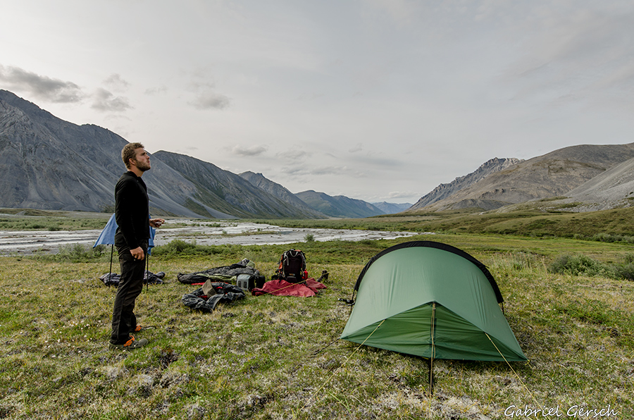
To save weight I travelled without a stove and didn’t have any warm meals during this hike. I started each morning with granola and milk powder (always makes a good breakfast) and ate granola bars over the rest of the day. Most of my bars were homemade (thanks to my friend Beverly from Palmer). This diet worked pretty well for me, I really didn’t miss warm food and I was often happy to crawl into my sleeping bag early at night, instead of sitting outside, cooking.
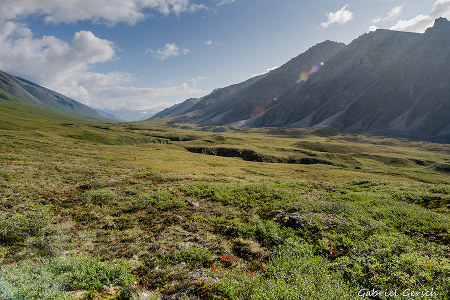
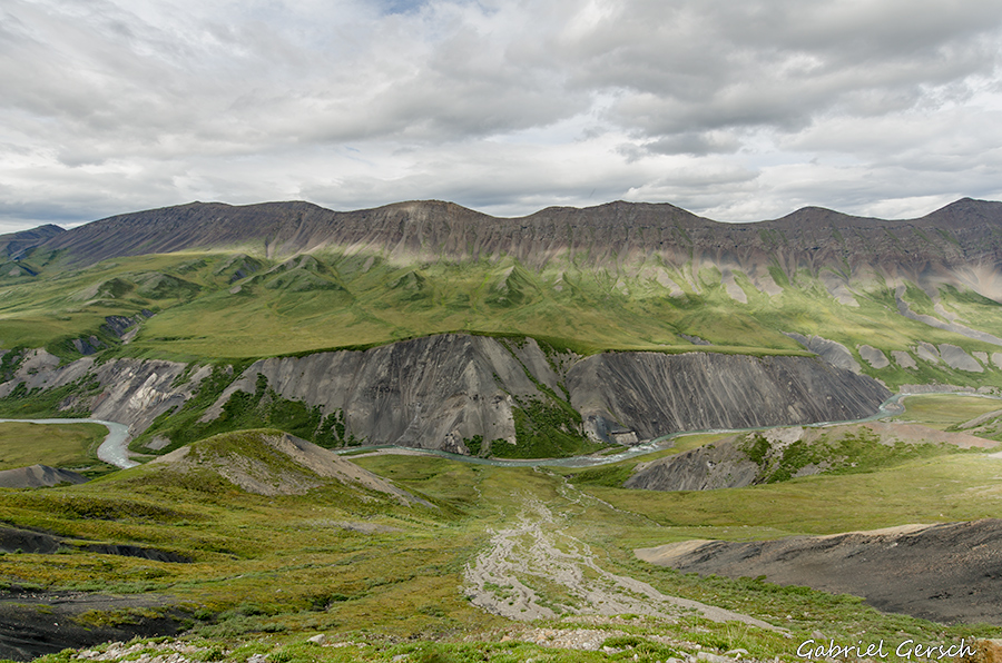
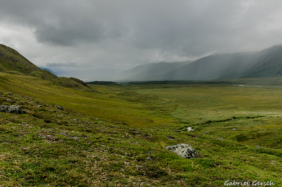
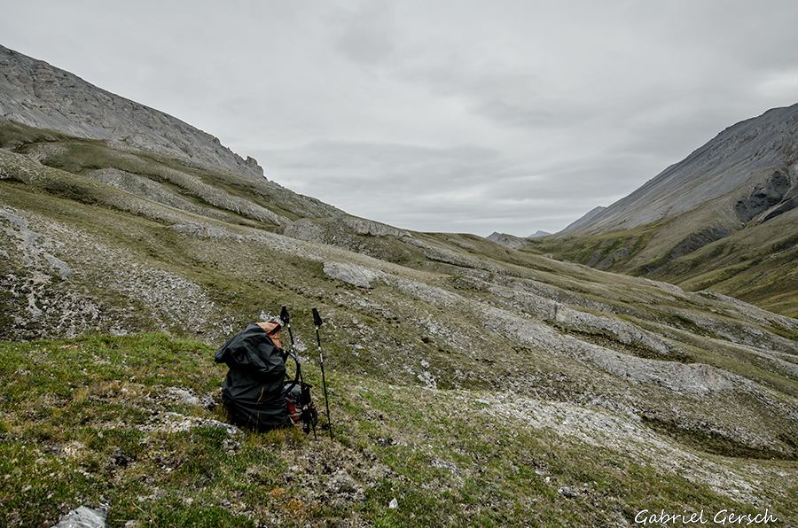
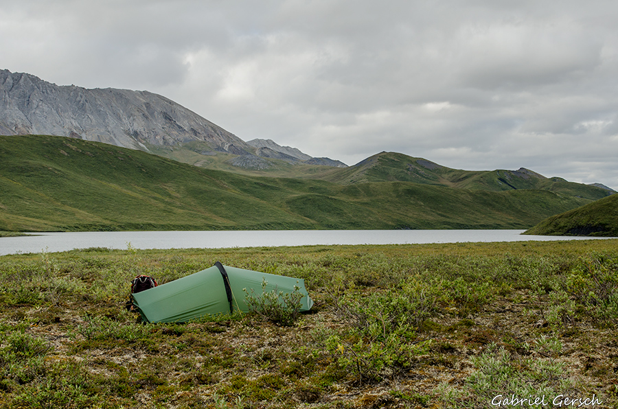
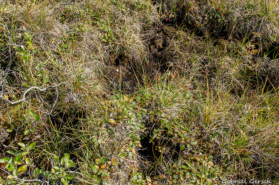
First of all I had to get used to the weight of my backpack. Food for 25 days, 7,5 kg photo gear and all the rest let me haul 42 kg in the beginning. That’s more than half of my body weight. Given the rough and often hard terrain as well as the distance of 25 km I had to cover each day, it was not easy. The video shows that hiking in the Brooks can be difficult sometimes – very often I was travelling on “Tussocks” and extremely soft and wet grass lands which feels like walking on a trampoline.
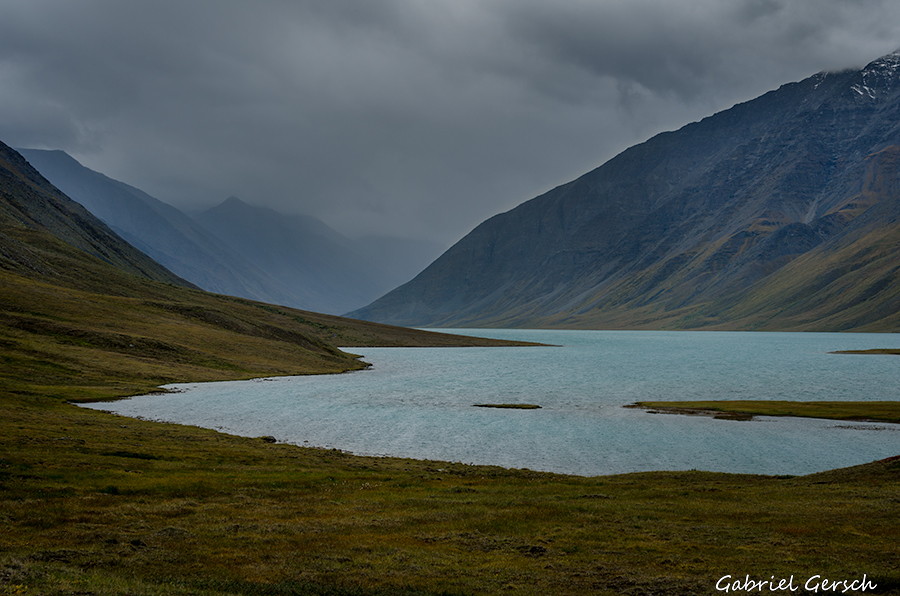
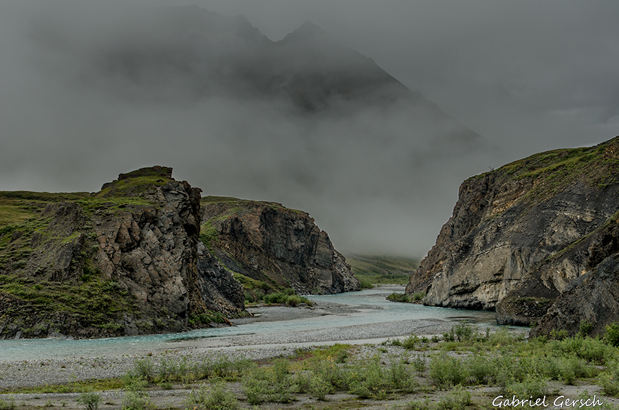
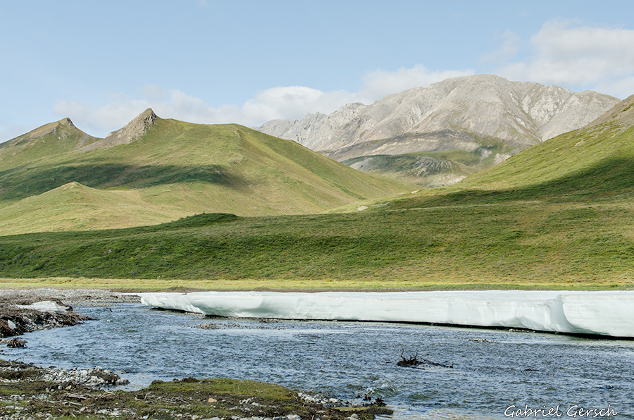
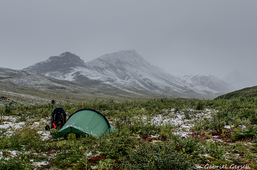
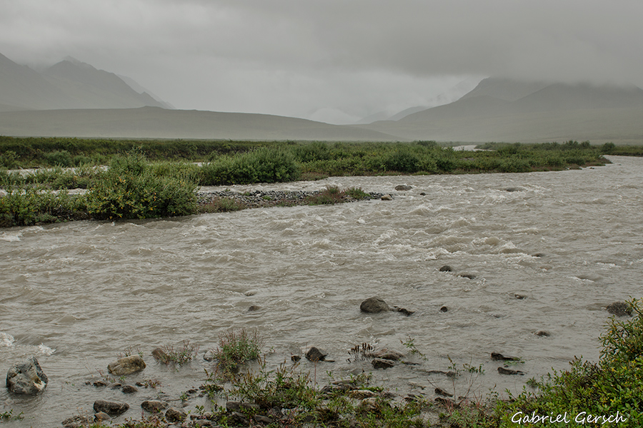
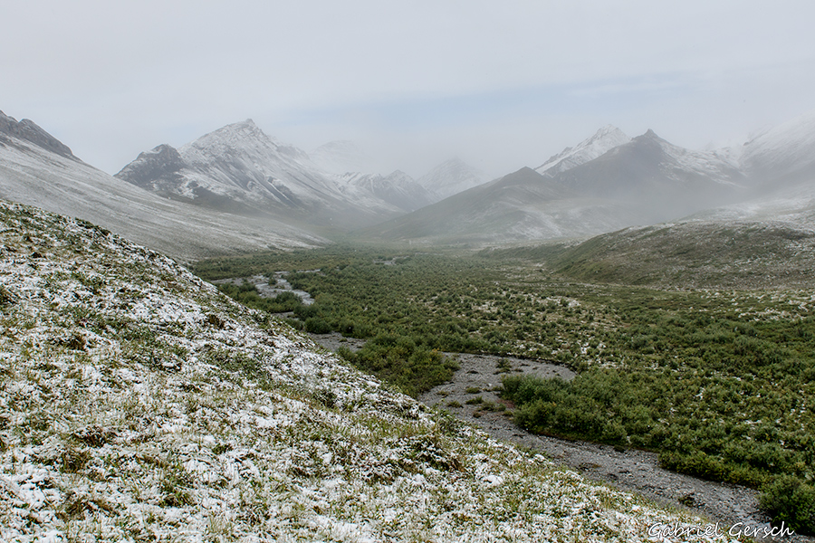
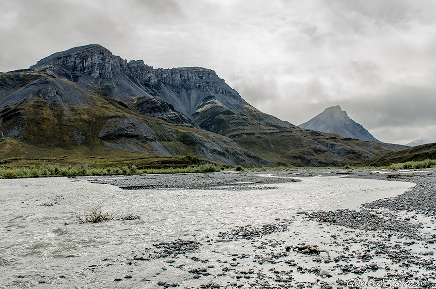
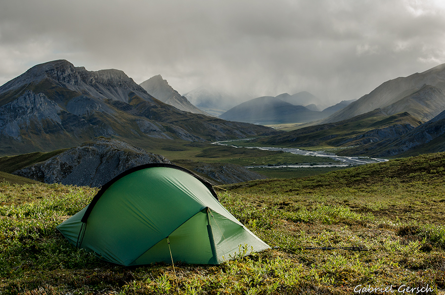
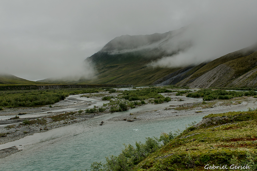
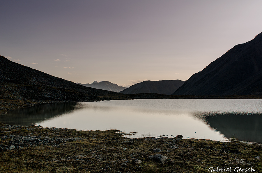
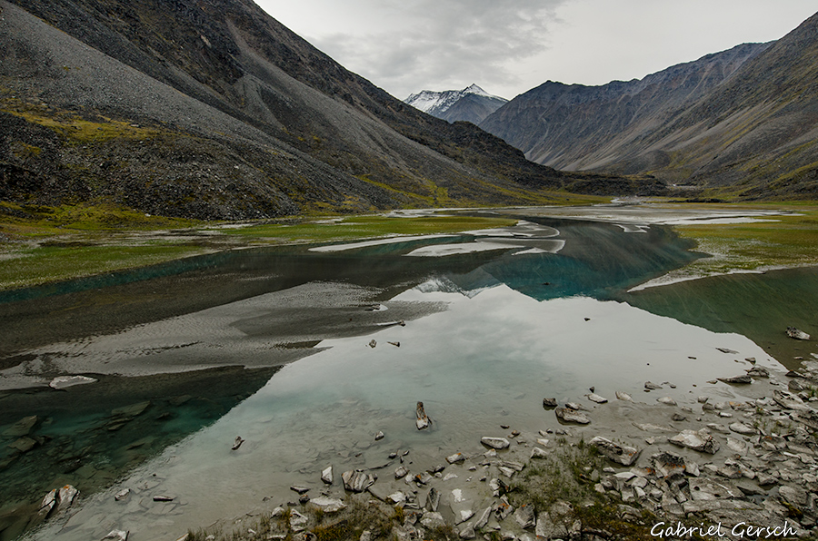
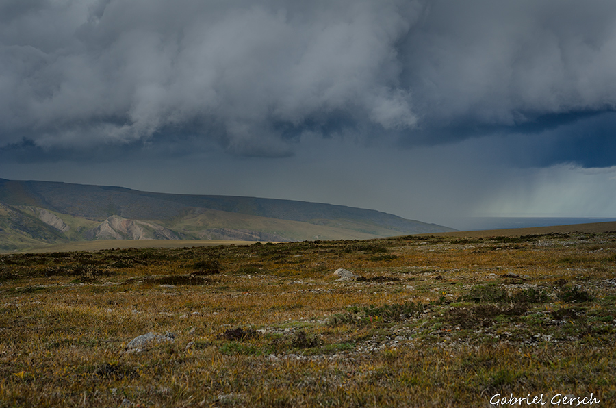
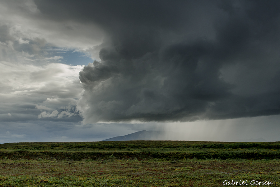
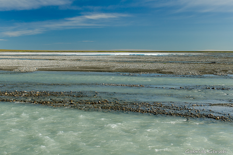
During my time up there I had only three days without rain. The weather sometimes made river crossings very challenging – in a couple of cases I was completely unsure if I would be able to make it to the other side of the river at all. Many rivers and creeks carried high water, especially in the first 12 days of my hike. This is the only good thing about hauling a heavy backpack: the higher weight gave better footing in the streams and sometimes kept me from being swept away.
This hike gave me a hard time in many respects, also mentally. It felt like this was my first “real” hike and that everything I’d done before was just “playing around in nature” – that’s probably not quite true, but that’s how it felt. I honestly couldn’t enjoy a lot, especially not in the first 12 (mostly rainy) days: I was up from 7 am to 8 pm every day. The rest of my time I spent in the tent, resting. There were no little side trips, no longer photo breaks, no time to hang up wet clothes. 25 kilometers per day sounds less than it was under the given circumstances.
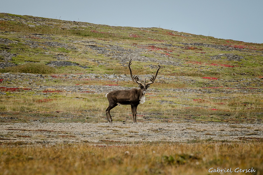
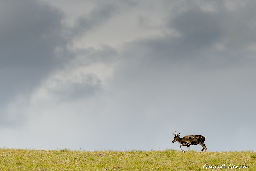
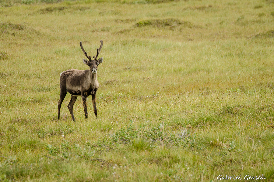
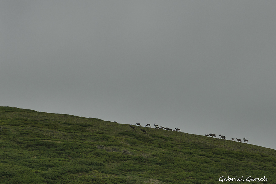
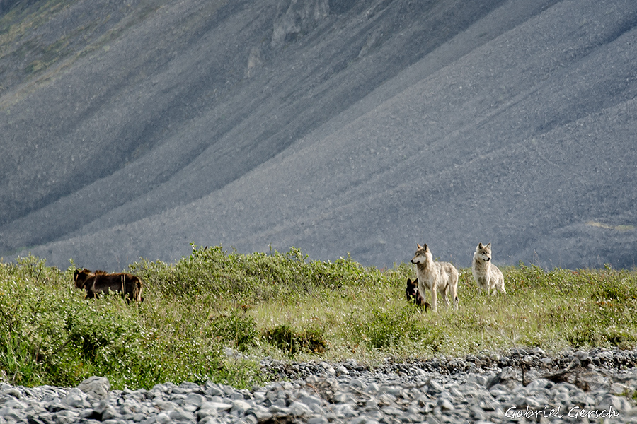
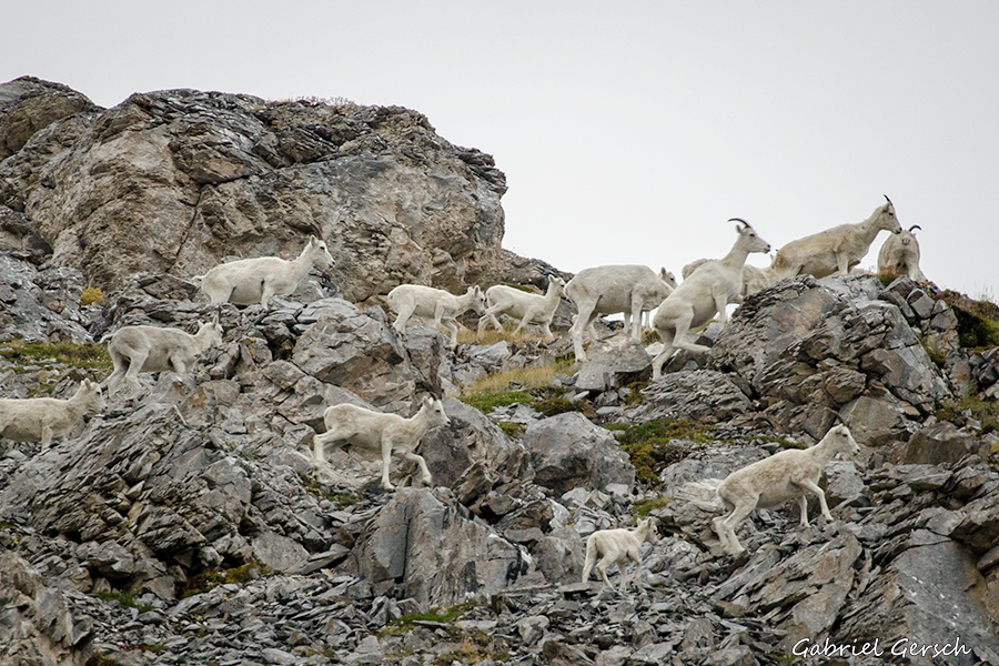
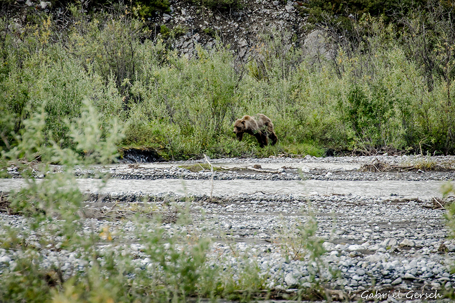
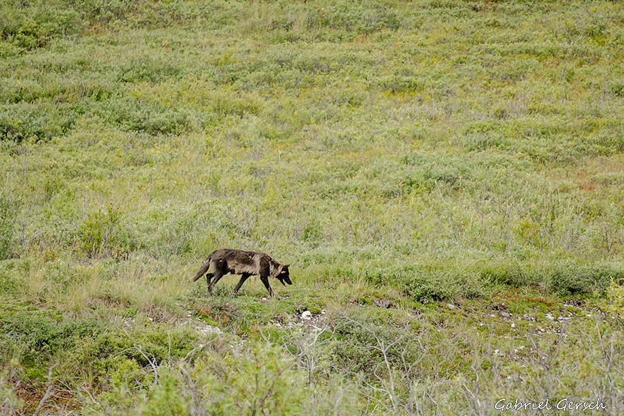
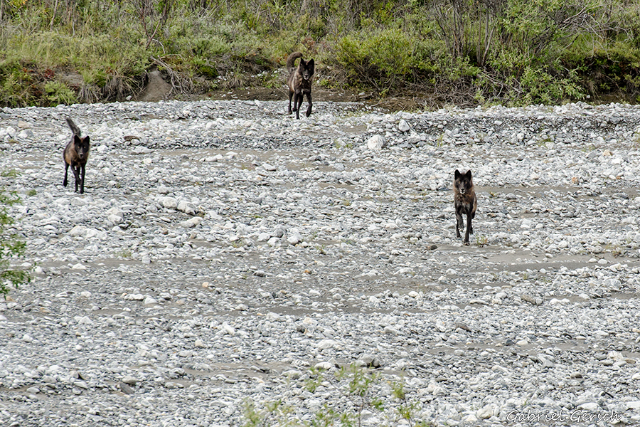
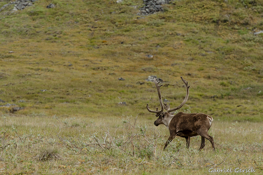
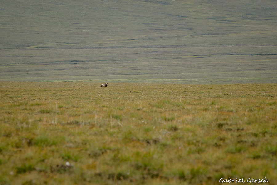
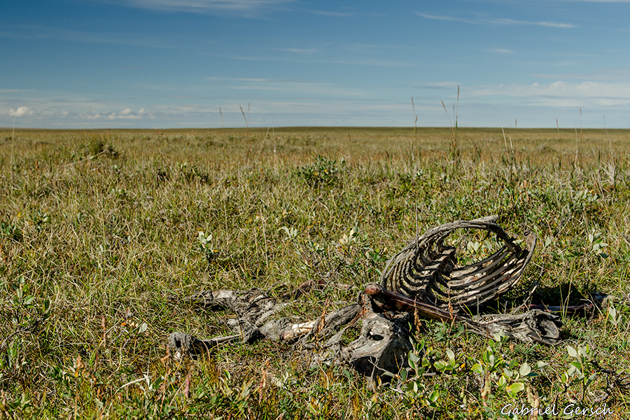
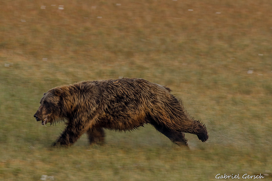
I didn’t see more than four grizzlies on this trip and another three polar bears on the coast. But I almost got into big trouble with a pack of wolves that were charging me, I will explain this situation later in the report. Anyhow, things like this make the life of a solo hiker a little tougher. If there had been a highway running parallel to my route my trip might have come to an earlier end. So the fact that there was no shortcut to get out of this wild country was definitely part of why I really made it to Kaktovik, my destination.
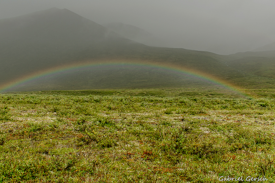
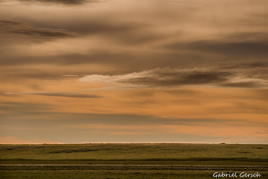
As mentioned before the weather was mostly bad. There were days when I didn’t take a single picture at all and then, when the sun was shining through the clouds for an hour, I took a hundred. So the pictures I’m showing here are not very representative but I know that nobody wants to look at dozens of gray, rainy pictures. And I find it very difficult to take good pictures in bad weather. Considering the weather it probably wasn’t a good idea to take all the photo gear on this trip – no good light, no time.
The scenes where I’m filming while walking were taken with the GoPro on my head (just to avoid confusion). Please watch in 720p or 1080p.
Anyhow, it started to rain again on the next day – no more water problems.
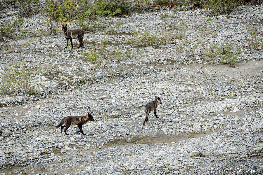
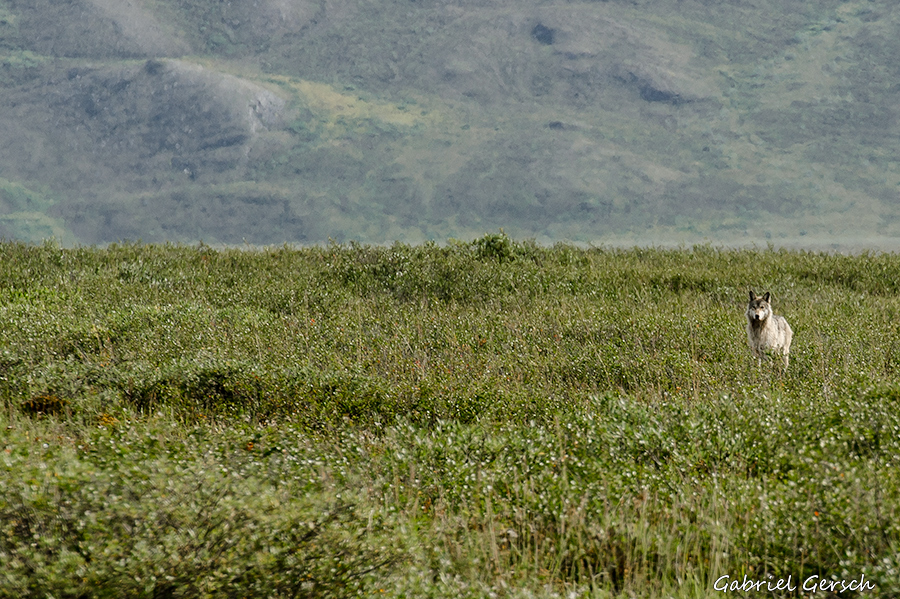
I acted just as I usually do when encountering a bear: I talked slowly and in a deep voice, my eyes down, raised my arms to appear bigger and slowly moved backwards. Don’t run, don’t look nervous, I thought. Behind me lay a little hill that I used to my advantage by climbing upwards. This gave me a “dominant” position over them and made an attack of the wolves “under me” less likely. They stopped running and followed me in the pace I was walking in. After a while they changed their formation: one wolf followed me at my level, the other three walked parallel to me down in the creek bed. Sometimes the distance got a little bigger, then they quickly ran at me for a few meters and stopped again – a feint attack. This went on for about 15 minutes until they let go eventually. I heard them barking for another 20 minutes or so, then it was all over.
So why did this happen? That’s hard to say, Alaska doesn’t see many wolf attacks, it happens very rarely. When the wolves were first running at me I really thought it could be over now – of course I didn’t carry a gun on this trip. But they probably just wanted me to leave “their” territory. Maybe they were protecting a moose or caribou kill in the brush – if that’s the case, humans are always unwelcome.
Anyhow, I was glad to stay calm and concentrated in this situation which by the way was the most dangerous and scary animal encounter I’ve had so far. I even took a few snapshots.
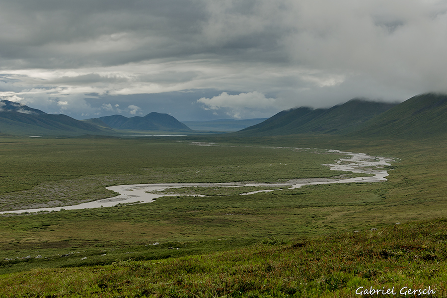
Now I stood on the east side of the Canning and for the first time I had the feeling that I was really going to make it to Kaktovik! In the 12 days before I had had my doubts about that – every day brought me close to my physical limit and I never knew if I could make it across the next big river. I was totally focused on the next day’s challenges, not so much on reaching my destination. It seemed to be too far away, also I’d been suffering from the daily little problems, like losing my Bear Spray on day eight: the spray was the only tool I could use for self-defense in case of a charging bear, now I had to be even more careful and felt a lot more vulnerable.
Things like this let me struggle a lot during the first part of my hike, but once I stood on the east side of the Canning River, I felt very positive and motivated again. And for the first time I really thought about what it would feel like to reach my destination Kaktovik.
(The pictures below do not show the Canning River.)
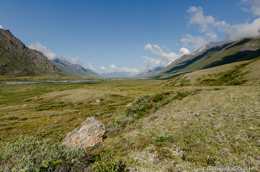
On the other side of the pass I continued my journey northwards along a creek. This creek even has a name but due to the low scale of my maps I still can’t identify all the letters.
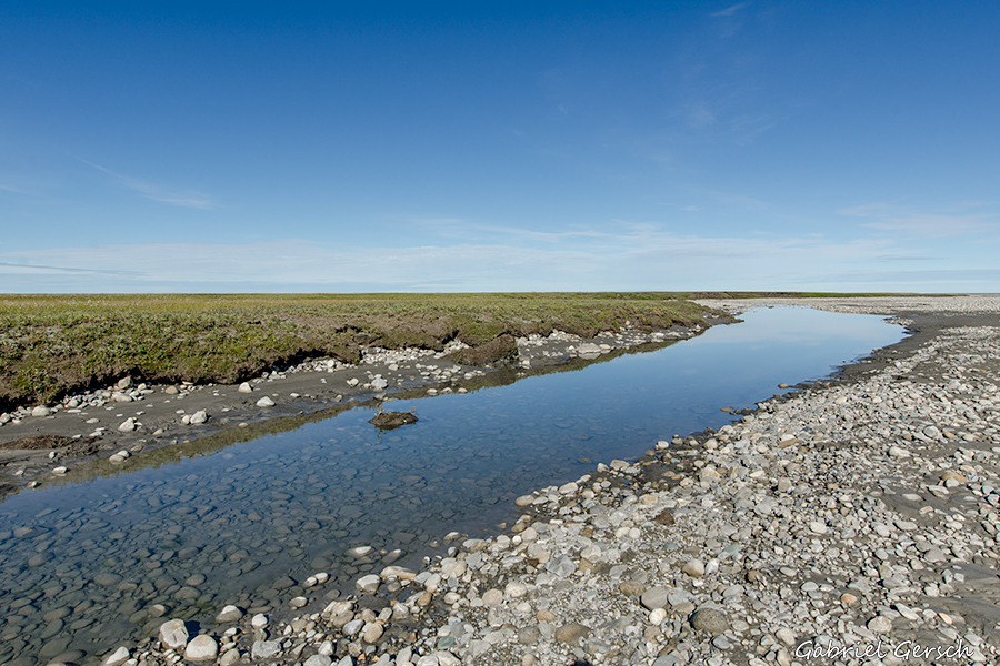
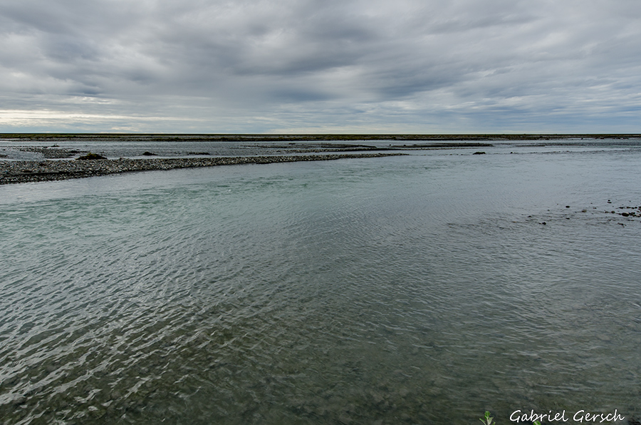
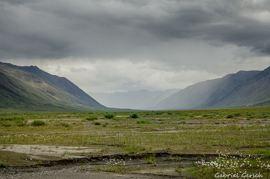
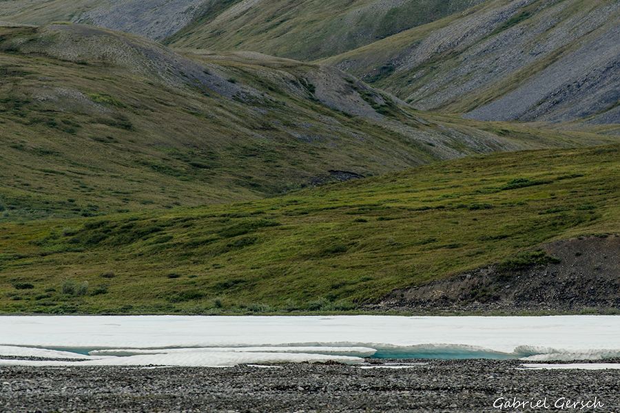
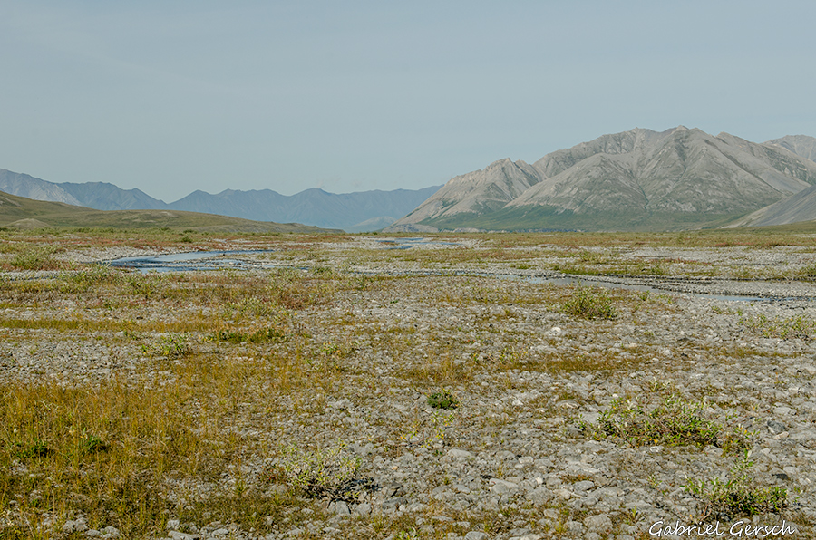
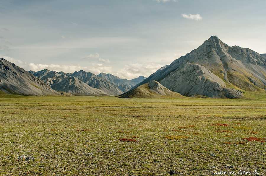
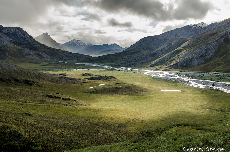
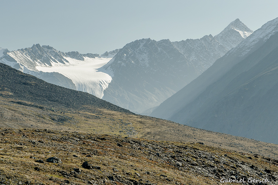
On August 17 I passed the Sadlerochit Mountains and followed the Hulahula River for a couple of days. Hiking along the river was easier than expected: sometimes I ran into Tussocks but most of the time I found solid ground with little vegetation to walk on.
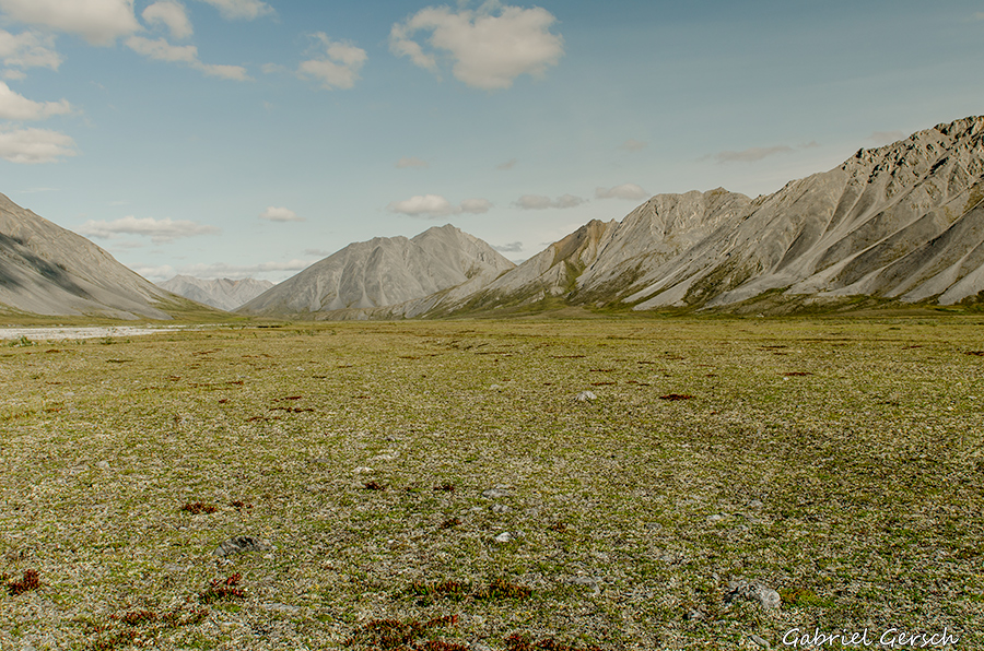
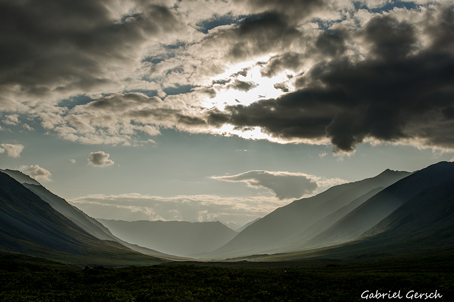
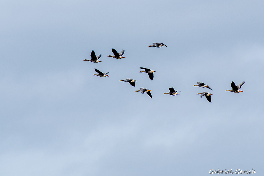
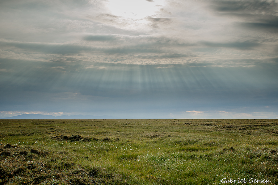
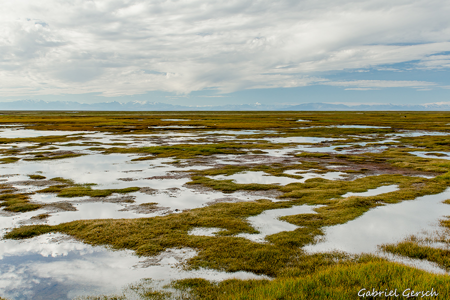
The Arctic Flats are unbelievably wide, the views were incredible. With the mountains behind me everything now became more and more flat. Finally the sun was shining again and I continued my way towards the coast in an excellent mood.
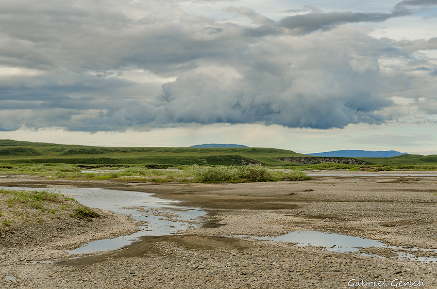
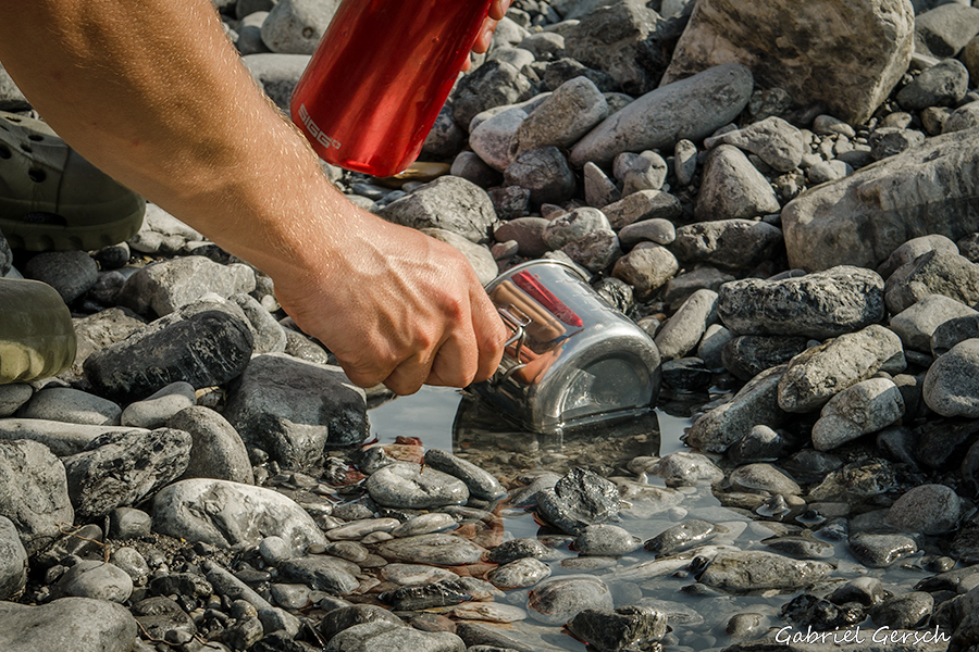
Also, there was no more “fresh” water; I had to drink out of the little potholes that were scattered all over the place – it tasted awful! Usually I never complain about the water sources I find, and I never carry a filter. But those little ponds at the coast were terrible sources.
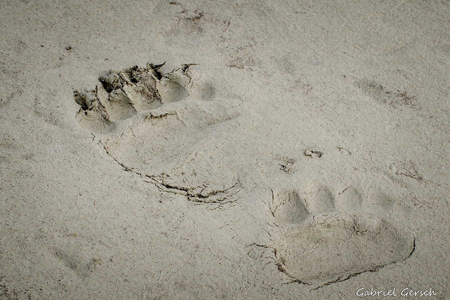
At 7 am in the morning of August 20 I left my sleeping bag and stepped outside. Right in front of me stood a grizzly bear looking at me. I thought it’s too early for yelling around in order to chase him away and grabbed my camera instead. But by the time I was ready to take the first picture the bear was already running into the endless flats, so I just took a little snapshot.
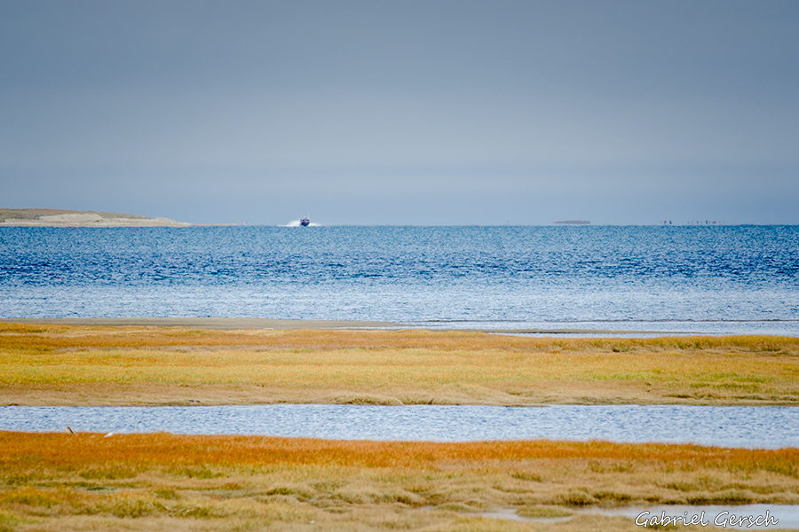
Weeks before I had talked to the locals in the Slope, they all said that I’m going to see boats there: people from Kaktovik will be out fishing and it’s very likely that they will come over and pick me up. It won’t be a problem at all, they said.
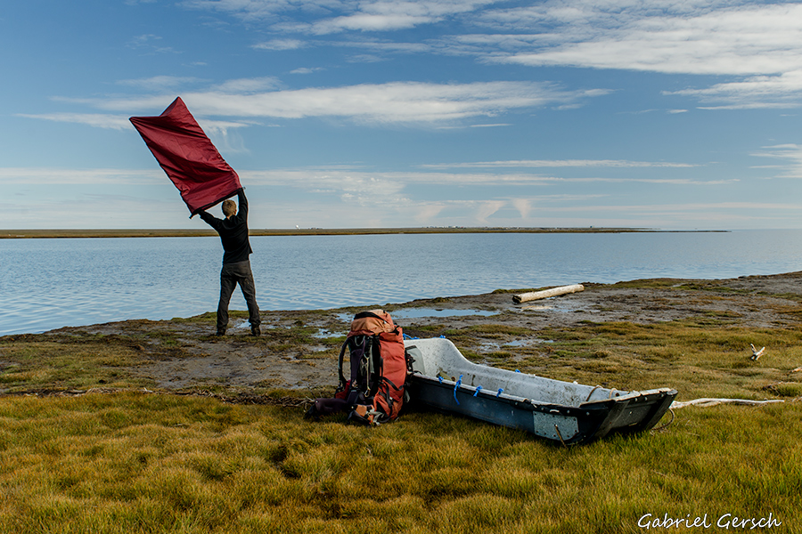
Well, that was not the case. I saw the village, it lay 5 ½ km away from me on the northeastern side of the island – but nobody saw me. And there were no boats. So I waited 4 hours and gave up eventually. I thought: if there is nobody out here fishing in this beautiful weather, then nobody will be out if it’s storming and raining either. And if I keep waiting, I risk a worsening of weather which again could risk my pickup – there is probably no Eskimo who wants to search for a “German tourist” in the fog.
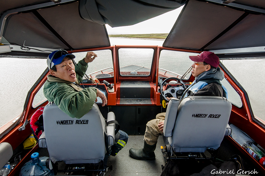
So I switched to Plan B and pushed the “custom message” button of my SPOT GPS device which sent a short pre-defined message to my friend Mike in Happy Valley who, minutes later, called Kaktovik. On the very next day, at 2.30 pm on August 21, I saw a boat on the horizon coming my direction. People from Kaktovik came to pick me up.
I was happy to see them and stepped on board. They asked some questions, I just told them a few hard facts about my journey. They also told me about 35 polar bears that at that time were in the area around Kaktovik and that I was lucky to spend the night at the coast without any encounters. Polar bears come to Barter Island at the end of August because of whale carcasses: the 300 mostly native inhabitants of Kaktovik are allowed to catch a couple of whales each year in September – and the bears feed all winter long from what the people leave on the bones.
On the way to the port we saw three polar bears lying around, a mother with two cubs. Not a big surprise for the two fellows in the boat, but the first time for me.
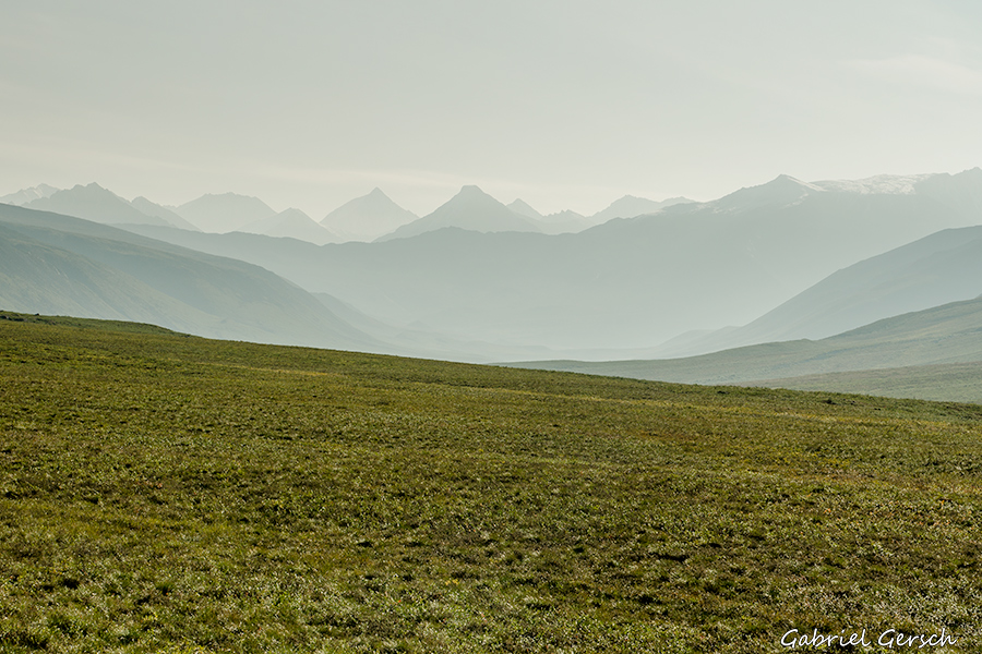
The Brooks Range is amazing country; the most amazing mountain range I have seen so far and definitely one of the wildest and most pristine places on the planet. There are not too many spots on earth where you can hike 500 kilometers in one direction without seeing any other people. Or a road, or a building. It’s also a rough place, hard to travel through. I was well prepared for this journey and still felt like I was lucky on many occasions on this hike. River crossing, the wolves, polar bears on the coast…
As mentioned in the beginning I think this was my first “really challenging” trip. Sometimes I wished I had a partner, but generally spoken I don’t mind being alone. Yes, I would do it again and yes, I’d rather travel alone than with somebody who might be less strong or less determined.
The Arctic has seen numerous expeditions in the last 150 years and I’m very aware of the fact that my three-week journey does not even begin to compare with what people like Dick Griffith, Roman Dial or Andrew Skurka did up there. But for me it was a challenge, an adventure. When I was there, everything felt very extreme, as if I was at my very limits. I don’t think so anymore.
Now I think that I was pushing my limits – I can probably go further. Carrying food for 25 days was heavy, but I might be able to handle 30 or 35 days too. And I also could add another 21 days of being alone to the 21 that I have been alone this time. People grow with their tasks, right?
And I’m still young.